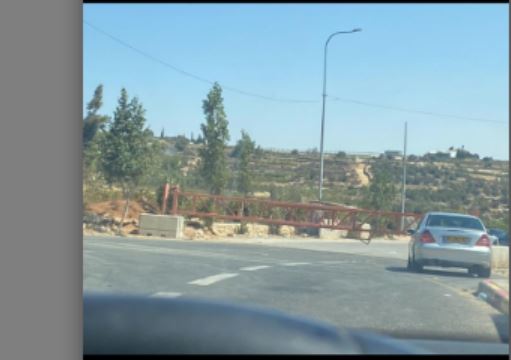
South Hebron Hills under siege, villages' entrances have been blocked since 07.10.2023.

At the Tarqumiyah checkpoint, several trucks carrying goods were seen. According to a local taxi driver, only about 300–400 workers pass through daily in recent weeks, compared to around 7,000 in the past. This is the only checkpoint in the area that allows passage into Israel.
The driver laments that he barely has any work and says it is extremely difficult to survive without an income.
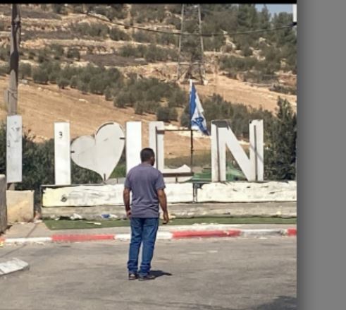
The entrance to Idna is sealed off, with a sign displaying the Israeli flag placed at the site. At the Tarqumiyah–Idna crossing, movement is conducted using the back-to-back method. Along Route 35, Palestinian vineyards and fig trees have been uprooted to make way for road expansion. In the summer, locals used to sell grapes and figs by the roadside, earning their livelihood from these crops.
At the turn from Road 35 onto Road 60, left towards Sa’ir–Halhul, we met a young man from the Shalaldeh family. He reports that all the entrances and exits in Sa’ir–Halhul are closed, there is no work, no money, and life is hard. The army occasionally enters to conduct searches. The gate to Sa’ir–Halhul has been closed since October 7.
Yusri Jaber explained that the lack of water has made it impossible for him to farm. Only a few grapevines remain, from which he sells grapes, while all his other crops have withered. He added that he does not know where to turn for help in obtaining water for agriculture.
Meanwhile, Abu Kabta called Muhammad to report that a demolition order had been posted on his home, near the Yehuda fortress. A photo has been provided.
Location Description
South Hebron Hills
See all reports for this place-
South Hebron Hills
South Hebron Hills is a large area in the West Bank's southern part.
Yatta is a major city in this area: right in the border zone between the fertile region of Hebron and its surroundings and the desert of the Hebron Hills. Yatta has about 64,000 inhabitants.
The surrounding villages are called Masafer Yatta (Yatta's daughter villages). Their inhabitants subsist on livestock and agriculture. Agriculture is possible only in small plots, especially near streams. Most of the area consists of rocky terraces.Since the beginning of the 1980s, many settlements have been established on the agricultural land cultivated by the Palestinians in the South Hebron Hills region: Carmel, Maon, Susia, Masadot Yehuda, Othniel, and more. Since the settlements were established and Palestinians cultivation areas have been reduced; the residents of the South Hebron Hills have been suffering from harassment by the settlers. Attempts to evict and demolish houses have continued, along with withholding water and electricity. The military and police usually refrain from intervening in violent incidents between settlers and Palestinians do not enforce the law when it comes to the investigation of extensive violent Jewish settlers. The harassment in the South Hebron Hills includes attacking and attempting to burn residential tents, harassing dogs, harming herds, and preventing access to pastures.
There are several checkpoints in the South Hebron Hills, on Routes 317 and 60. In most of them, no military presence is apparent, but rather an array of pillboxes monitor the villages. Roadblocks are frequently set up according to the settlers and the army's needs. These are located at the Zif Junction, the Dura-al Fawwar crossing, and the Sheep Junction at the southern entrance to Hebron.
Updated April 2022
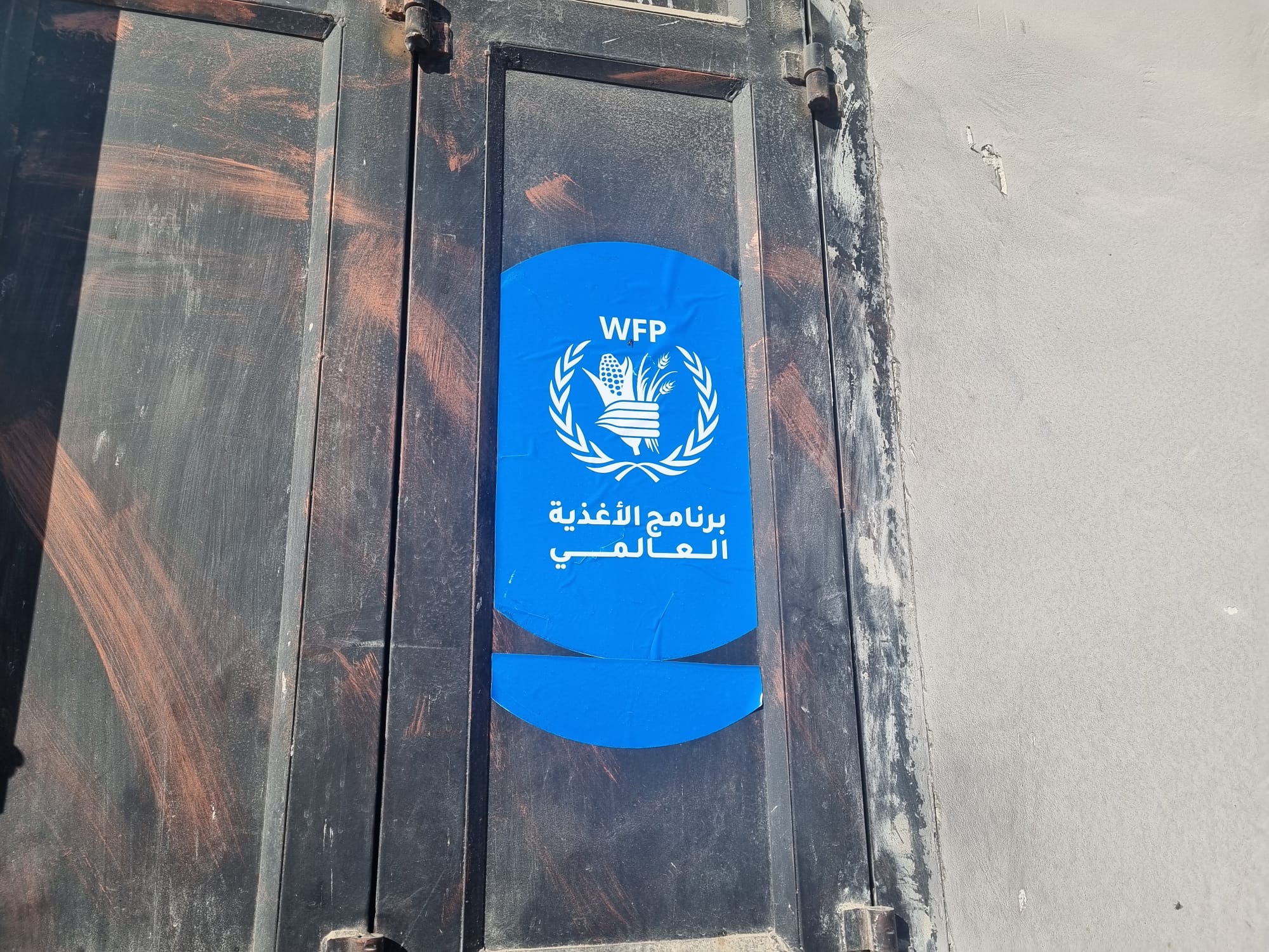 Smadar BeckerDec-14-2025A World Food Program (WFP) sticker at the entrance to a grocery store in Tuwani
-