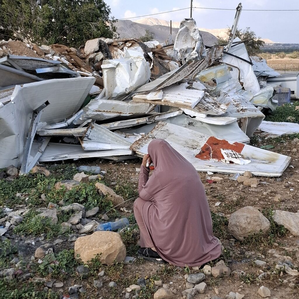
South Hebron Hills - Settlers destroyed the olive trees, the fence and the arable land
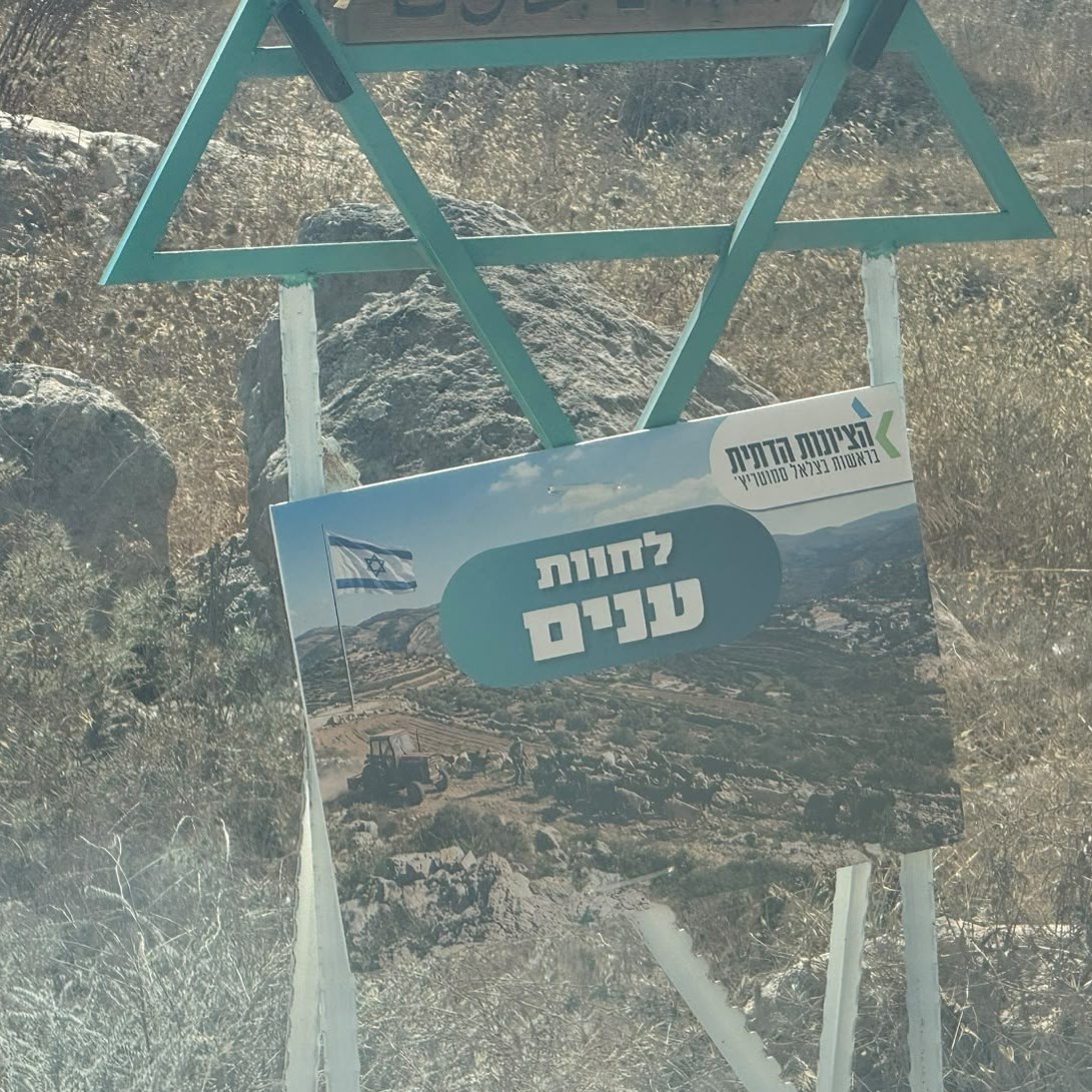
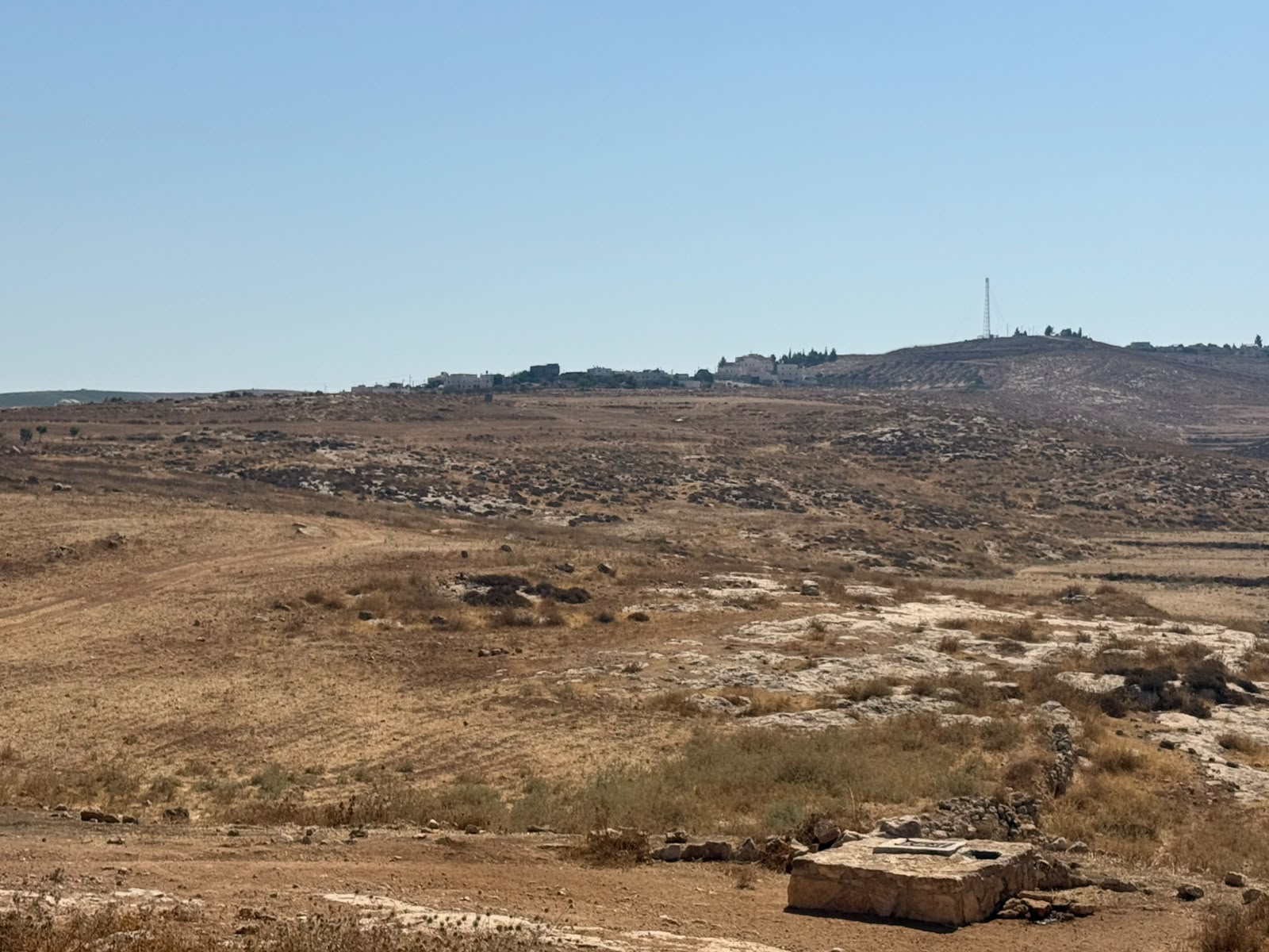
Route 317: On the left, a new outpost, above a place called Maktal Msalam (“the place of Salem’s killing”; apparently someone named Salem was once killed here…). Further on, on the right, the entrance to Asa’el, where the settlement is being expanded: large bulldozers are at work. Near the road there are caravans, but further inside there is a great deal of permanent construction. Further on, on the right, a dirt road leads to Anim Farm. A little farther on there is a large, excavated archaeological site of an ancient settlement called Anim.
Then, between Imnaizel and Samu’, we turn right onto a dirt road, toward Khirbet al-Kharaba (= ruined, destroyed). The residents confirm my information: a settlement called a khirbe originated as an offshoot of another village, located in the heart of the agricultural area, where people would live during certain seasons. Eventually, the settlement became a permanent village, like Khirbet Zakariya in Gush Etzion.
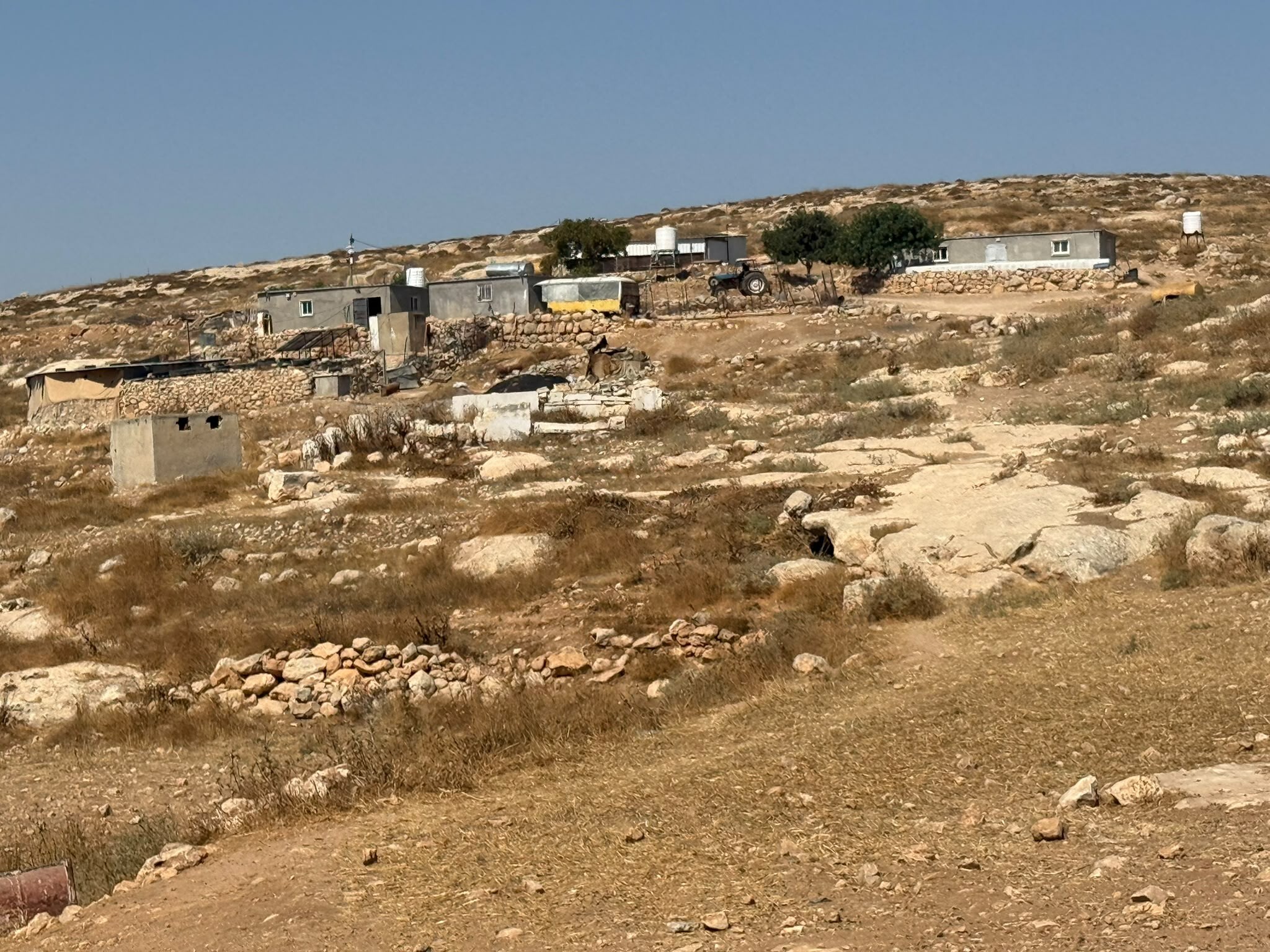
There are two residential compounds in the village suffering harassment by settlers. Our shift with Smadar has already visited the compound on the right (Dramin); today we will visit the compound on the left (Halaileh). The dirt road is rocky and difficult to traverse. Up to the left is the village of Imnaizel, below Beit Yatir.
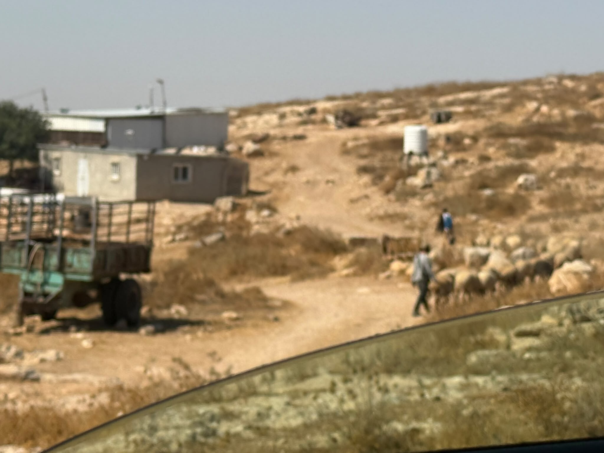
We stop: ahead of us, a flock of sheep is crossing from left to right, led by two settlers—one at the front carrying a bucket for watering the flock, the other bringing up the rear. They enter the Dramin compound, right next to the houses, presumably also planning to draw water for the sheep from Dramin’s cistern.
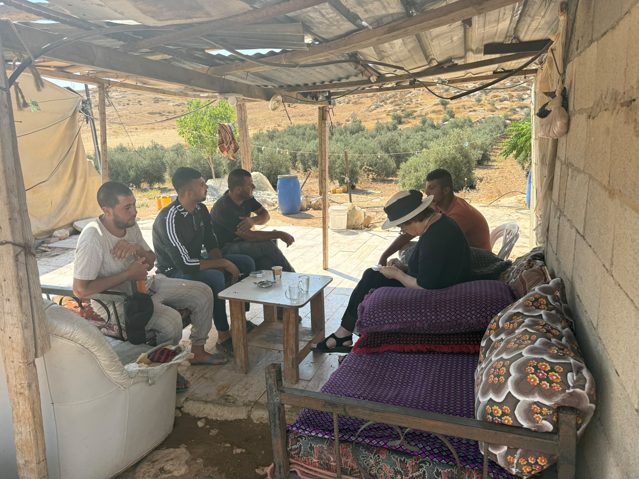
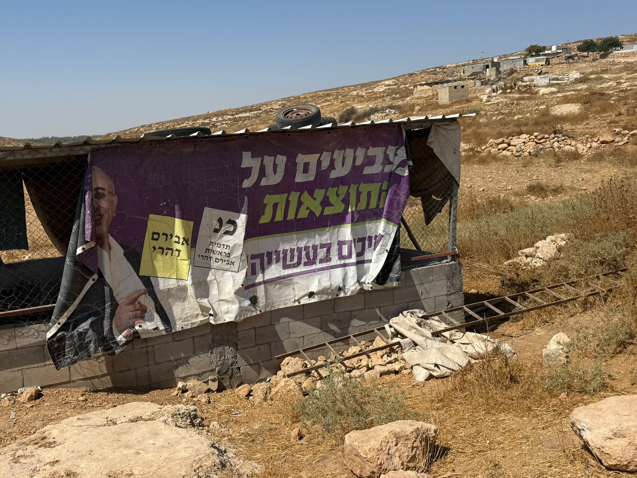
We are hosted by Isma’il Halaileh, together with another member of his family, and two members of the Dramin family, who are relatives. On one of the structures there is a large sheet that Muhammad once found for him: an old election campaign sign from Kiryat Gat (showing the mayor who served there from 2003 to 2024).
He has four school-age children. They can attend school only if they live with his parents in Samu’. At the moment they are not here because his maternal uncle has died, so everyone is there.
Muhammad unloads a large quantity of food and supplies from the car. Some were purchased with money from our donations; some he collected from vegetable shops in Laqiya. Isma’il will distribute them between the two families. Everyone is unemployed; before October 7 they worked in Israel, which is why they speak a little Hebrew. Under normal circumstances, they have olives, chickens, sheep, and fields of wheat, corn, chickpeas, and barley to feed the sheep. There are two water cisterns for the winter; in summer they buy water from Samu’. Throughout the area there is solar electricity provided by the international organization Comet-ME, although there are many malfunctions and outages. But these days both agriculture and grazing are being destroyed day after day by the settlers.
Isma’il tells us that the settlers we saw today arrived at the Halaileh compound in the morning, walked around the compound, threw stones at the dogs, cursed, and shouted at them: “Get up, cowards. Go to Samu’. This is not your land.” They called the police, who did nothing beyond ordering the intruders not to approach the houses. These settlers have already destroyed their olive trees, their fence, and their cultivated land. They are from a nearby farm, near Khirbet Rawan.
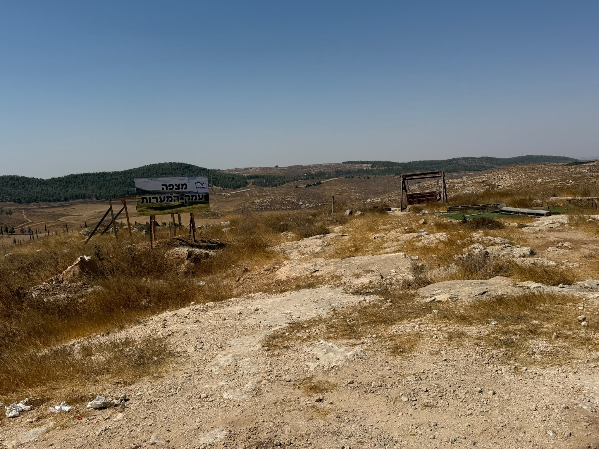
On the way back, near the road, above the compound of the late Abu Safi, we see a new settler initiative: “Mitzpe HaMe’arot” (“Caves Lookout”), with a swing overlooking a magnificent view—with no Arabs in sight.
Location Description
South Hebron Hills
See all reports for this place-
South Hebron Hills
South Hebron Hills is a large area in the West Bank's southern part.
Yatta is a major city in this area: right in the border zone between the fertile region of Hebron and its surroundings and the desert of the Hebron Hills. Yatta has about 64,000 inhabitants.
The surrounding villages are called Masafer Yatta (Yatta's daughter villages). Their inhabitants subsist on livestock and agriculture. Agriculture is possible only in small plots, especially near streams. Most of the area consists of rocky terraces.Since the beginning of the 1980s, many settlements have been established on the agricultural land cultivated by the Palestinians in the South Hebron Hills region: Carmel, Maon, Susia, Masadot Yehuda, Othniel, and more. Since the settlements were established and Palestinians cultivation areas have been reduced; the residents of the South Hebron Hills have been suffering from harassment by the settlers. Attempts to evict and demolish houses have continued, along with withholding water and electricity. The military and police usually refrain from intervening in violent incidents between settlers and Palestinians do not enforce the law when it comes to the investigation of extensive violent Jewish settlers. The harassment in the South Hebron Hills includes attacking and attempting to burn residential tents, harassing dogs, harming herds, and preventing access to pastures.
There are several checkpoints in the South Hebron Hills, on Routes 317 and 60. In most of them, no military presence is apparent, but rather an array of pillboxes monitor the villages. Roadblocks are frequently set up according to the settlers and the army's needs. These are located at the Zif Junction, the Dura-al Fawwar crossing, and the Sheep Junction at the southern entrance to Hebron.
Updated April 2022
Muhammad D.Aug-11-2026Anim Farm
-