
South Hebron Hills, Mon 28.11.11, Morning
Translator: Charles K.
Meitar crossing
the laborers are already gone; there’s one bus with relatives of prisoners. In the afternoon we watched the operation of the new device replacing the dogs that inspected the cars at the crossing – a kind of pipe that senses odors. It takes more time than the dog did – about a quarter of an hour. And it also singles out as dangerous propane tanks like those used in Coleman stoves and lanterns. Of course, only vehicles belong to Arabs are stopped. (Who’s the likely suspect?) And why don’t they stop even one Jewish car, if only to create an impression of fairness?
Highway 60
Traffic flows as usual, with no interference. Soldiers guard the illegal outpost of Eshtamo’a where a new Egged [Israeli public transporation company] bus stop has been erected. Palestinians don’t get on Egged buses – are they forbidden? Perhaps the state of Israel didn’t hear about Rosa, from Alabama?
An army jeep at the entrance to Bani Na’im.
The observation balloon floats near Carmei Tzur; Big Brother needs more than pillboxes.
Soldiers came down from the pillbox at Beit Umar and created a minor traffic jam – inspecting everyone getting into the taxis.
Soldiers guard the hitchhiking stations at the exit from Kiryat Arba and at the Gush Etzion junction.
Today Muhammad and I participated in a program of Kol Hashalom, which brought us all the way to Jerusalem.
On our way back we decided to drive to Teko’ah and see the checkpoints, and discovered a new one – at Mizmoriyya, manned by the Border Police. They stop Palestinian taxis coming from villages in the area, passengers get out, their documents are quickly returned – but why do they even have to do it?
The army’s logic would say that it’s necessary to protect Lieberman, the honorable Foreign Minister, who’s alive and kicking in the Noqdim settlement… beyond which is the settlement of Teko’ah, and then Ma’aleh Amos, and then Avney HaNahal, and then P’nei Qedem. And Herodion overlooking them all.
This is Highway 398 – we counted three more flying checkpoints.
Again the usual procedure – soldiers open the taxi door, and arbitrarily decide whether to allow it to drive on or to collect ID cards. No traffic jams formed, but to avoid misunderstanding it’s necessary to demonstrate who’s in charge here.
Signs point the way to Be’ersheba and Hebron…except that the road ends at another military checkpoint and red signs indicating that you’re entering Palestinian Authority territory…
Since we informed the soldiers that we won’t be returning to the Gush Etzion junction, and that we accept responsibility for anything that might happen to us, they didn’t prevent us from continuing. We went through Shayuh, which was full of Palestinian flags; residents said they’d been there since the Palestinian independence celebrations – and I remember that today is November 29 [the anniversary of the 1947 UN vote ending the British Mandate over Palestine and approving the Partition Plan]. We left Shayuh near the pillbox at the entrance to Sa’ir. We took Highway 60 home.
Near the junction, a little past the humanitarian checkpoint, the electric company is erecting high tension wires. This time there were soldiers only at the Kvasim junction but they didn’t stop anyone – observing the human landscape, as it were, with weapons.
There’s nothing so lovely as the borderland between the hill country and the Judean desert. It’s too bad that the reality is so ugly.
South Hebron Hills
See all reports for this place-
South Hebron Hills
South Hebron Hills is a large area in the West Bank's southern part.
Yatta is a major city in this area: right in the border zone between the fertile region of Hebron and its surroundings and the desert of the Hebron Hills. Yatta has about 64,000 inhabitants.
The surrounding villages are called Masafer Yatta (Yatta's daughter villages). Their inhabitants subsist on livestock and agriculture. Agriculture is possible only in small plots, especially near streams. Most of the area consists of rocky terraces.Since the beginning of the 1980s, many settlements have been established on the agricultural land cultivated by the Palestinians in the South Hebron Hills region: Carmel, Maon, Susia, Masadot Yehuda, Othniel, and more. Since the settlements were established and Palestinians cultivation areas have been reduced; the residents of the South Hebron Hills have been suffering from harassment by the settlers. Attempts to evict and demolish houses have continued, along with withholding water and electricity. The military and police usually refrain from intervening in violent incidents between settlers and Palestinians do not enforce the law when it comes to the investigation of extensive violent Jewish settlers. The harassment in the South Hebron Hills includes attacking and attempting to burn residential tents, harassing dogs, harming herds, and preventing access to pastures.
There are several checkpoints in the South Hebron Hills, on Routes 317 and 60. In most of them, no military presence is apparent, but rather an array of pillboxes monitor the villages. Roadblocks are frequently set up according to the settlers and the army's needs. These are located at the Zif Junction, the Dura-al Fawwar crossing, and the Sheep Junction at the southern entrance to Hebron.
Updated April 2022
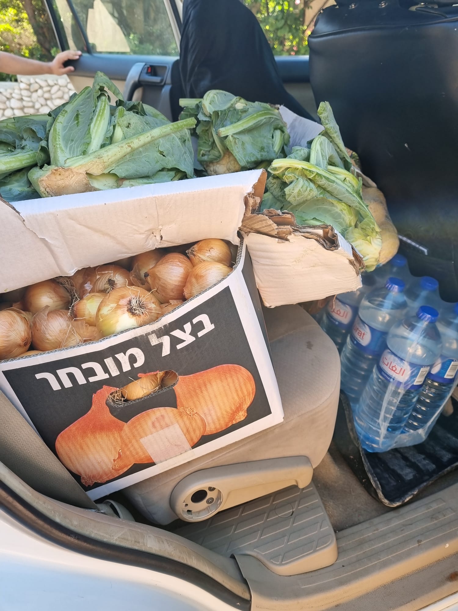 Muhammad D.Jul-1-2026From the food we brought to the Daramin family in the village of Khirbet al-Kharaba
-