South Hebron, AM
South Hebron Hills, Tuesday 10.8.04 AM Observers Edna Sh. Hagit B (reporting in Hebrew), Elena L (English translation) The report is longer than usual and is in two parts: a) the usual circuit; b) visit to Beit Awwa The Usual Circuit In general, there are almost no army vehicles on the roads and very little traffic altogether. One could imagine that the occupation had taken a temporary leave of absence, but it is still alive and kicking on all the signposts along the way – and the Palestinians are “present absentees” (the term used for Arab Israelis, expelled form their villages in 1948, but still living in Israel). There is an awful sense of despair. Hills south east of Hebron- route 317- fresh dirt barriers. The Palestinians have removed the from the eastern entrance to Samoa. The western entrance to Samoa is blocked. The barrier between Khirbet at -Tawwani and Yatta is higher than usual.Asam –Yakinton CP on route 356 –the soldiers manning it are pleasant and friendly; they have shade and water. The northern gateway to Yatta – open. A little after the CP there is a large caravan painted in the colours of the Israeli flag and bearing the slogan (in Hebrew): “And Judah shall always remain”.Dura –Al Fawwar- there is almost no traffic; cars are free to cross route 60 there.Sheep’s Crossing- open to pedestrians. Sa’ir – East Halhul : cars can cross route 60 there.Bani Na’im – Hebron (opposite Kiryat Arba) – cars can cross route 60 there.Karma village- Palestinian children are at work opening the dirt barriers with hoes and forks- what a wonderful way to spend the summer holidays.Dhahiriya- blocked off.Halhul bridge- Hebron: traffic is moving freely on the bridge; the approach to it from route 35 is closed.Al-Jura CP –at the junction between routes 60 and 35. The CP is unmanned.The gate at the humanitarian CP – locked and bolted. All the roads to Hebron from route 35 are blocked – the CP us unmanned.Idhna CP – unmanned.All the pillboxes are manned- Big Brother is watching from above- a large Israeli flag waves in the wind on almost every one of them. Shuyukh- Hebron Crossing- an interesting meeting with H., head of the Bureau of Commerce and Industry in Hebron. He lives right next to the roadblock. What used to take him five minutes to get to his office by car, has now become a 30 km detour, because of the internal roadblocks. Eh has given up and now walks to the taxi which is waiting for him on the other side of route 60. He joked that this was good for his figure. >H. told us that inside Hebron itself there are 3 internal CPs. 1. at Bab al-Zawwi 2. at the entrance to the old city of Hebron 3. In al-Salli St.These CPs are always manned and unpleasant incidents take place there all the time (we can’t observe there because the CPS are in Area A) H. told us that he has good working relations with A. the DCO CO and he promised to inform us at once if anything happens there. We exchanged telephone numbers …and left. The Visit to Beit Awwa We arrived at Beit Awwa after having received telephone calls from the villagers begging us to come. Beit Awwa is on p,38 of the 2005 edition of the Israel Roads Atlas (published by Mappa). According to the Oslo agreements it is in Area B, i.e. the army advises Israelis not to go there without a military escort…we didnt wait to get permission. From route 35 one of onto a road leading right inot Idhna village. At the turn-off there is a pillbox and this is the Idhna CP.The new road is properly asphalted (except for the first 100 meters –see report from 9.8), and then starts to climb and becomes a bad road. On the map it is marked in grey as route 8. Idhna is a large village with a population of 14,000 –one has a feeling of traveling deep into the third world –that’s the impression given by the shops and by the way the cars are driven. We drove right through Idhna and afterwards we could see the barriers blocking entry onto route 8 from the villages of Al Kum, Muwarraq, As-Simiya and Deir Samit. At Dir Samit there is a junction with a narrow road which climbs to Dura and Hebron. On the map it is marked in grey as route 10. We reached Beit Awwa. Beyond it route 8 continues to Dhahariya, Beit Awwa is the centre of an area containing some 50,000 inhabitants. We received a royal welcome in Beit Awwa. We came to the Municipality and met the mayor and the town council’s lawyer. During our meeting the regional governor of the PA rang the mayor and apologized for not being able to be present –we had had no idea that they were planning such a meeting for us and it became urgently necessary to lower the level of their expectations about what we might be able to do to help them. They raised the following issues with us (not in the order of their importance). A very serious water problem. Roadblocks- access to Dura via route 10 is closed to them. Access to Dhahariya via route 8 is also blocked. The journey to Hebron which used to be half an hour’s drive away has now become a heroic journey along dirt roads (all the time in first or second gear) which takes a heavy financial toll –because of the damage to their cars and the waste of time. Hebron is the regional center –there they receive all the services they need and especially the magnetic cards without which they cannot make a living. Their main occupation is trading in second-hand goods.They use the Yiddish term Alte Sachen (the appearance of this Yiddish term in Arabic is one of the wonders of the Middle East). On the outskirts of Beit Awwa there is pillbox which is always manned. It stands at the turn-off to Negohot – the settlement and its illegal outpost: a total of 13 families. We saw a very nice 19 year old soldier at the CP. He was involved a bitter argument with the driver of a truck who could have been his grandfather. The truck was taking water to Sikka- a village less than one km away from Beit Awwa. The soldier said to the driver: “I’ll let you through today, but don’t come tomorrow. In letting you through now, I’m acting against orders. What do you want from me – am I the Commander in Chief?” Whenever an ambulance has to pass through the CP- they first have to get permission from the Red Cross in Hebron, which has to receive authorization from Jerusalem (sometimes the ambulance has to wait an hour or more at the CP before the authorization arrives). The ambulance can then take the dirt roads (a two-hour journey) to the Aliyya hospital in Hebron. Pedestrians can pass through the CP. Even if there are no soldiers there, vehicles cannot go through it – very large stones block every way throough or round it. The Beit Awwa clinic-it was built as a medical center for all the inhabitants of the area and cost $120,000. A dentist, a gynecologist and a cardiologist come there once a week. There is also a laboratory, but blood tests have to be sent to Hebron. Because of the roadblocks, instead of serving a population of 50,000 as planned (when it opened 3 years ago), it now only serves the 6000 inhabitants of Beit Awwa. The ambulance attached to the clinic has to have its tires changed once a week, because of the bad roads to Hebron. The establishment of taxi-cab ranks on either side of the roadblock on route 10. The mayor asked the Civil Administration to open the roadblock to taxis 3 months ago. He has not received an answer. They suggest now that at least they might be given permission for two taxi ranks, one on each side of the barrier – as a back to back operation. This would prevent the damage done to their vehicles on the dirt roads to Hebron. The main road –route 35 – is an apartheid road and only a few taxis get permits to use it. The supply of food and other basic needs to the families who se homes are on the road to Negohot. – this too can only be done after first getting authorization from the Red Cross in Hebron. The separation wall – the bypass to Negohot has already robbed the inhabitants of Beit Awwa of 4000 dunams of agricultural land (olive groves); the separation wall will rob them of a similar amount of land- and even more.Action we can take to help them. To get the UN involved; to talk to the Brigade Commander and to his superior officers, with DCO commander, with Doctors for Human Rights and with the foreign press. To sum up : Even if all the soldiers were withdrawn the occupation is horrible because of all the topographical changes made by the bulldozers – so where are the famous steps to relax the pressure? And all this is for what? To defend 13 settler families? What has it to do with Israel’s security. I’m ashamed to look at myself in the mirror. We left at 7:00 and we returned at 12:30
Hebron
See all reports for this place-
According to Wye Plantation Accords (1997), Hebron is divided in two: H1 is under Palestinian Authority control, H2 is under Israeli control. In Hebron there are 170,000 Palestinian citizens, 60,000 of them in H2. Between the two areas are permanent checkpoints, manned at all hours, preventing Palestinian movement between them and controlling passage of permit holders such as teachers and schoolchildren. Some 800 Jews live in Avraham Avinu Quarter and Tel Rumeida, on Givat HaAvot and in the wholesale market.
Checkpoints observed in H2:
- Bet Hameriva CP- manned with a pillbox
- Kapisha quarter CP (the northern side of Zion axis) - manned with a pillbox
- The 160 turn CP (the southern side of Zion axis) - manned with a pillbox
- Avraham Avinu quarter - watch station
- The pharmacy CP - checking inside a caravan with a magnometer
- Tarpat (1929) CP - checking inside a caravan with a magnometer
- Tel Rumeida CP - guarding station
- Beit Hadassah CP - guarding station
Three checkpoints around the Tomb of the Patriarchs
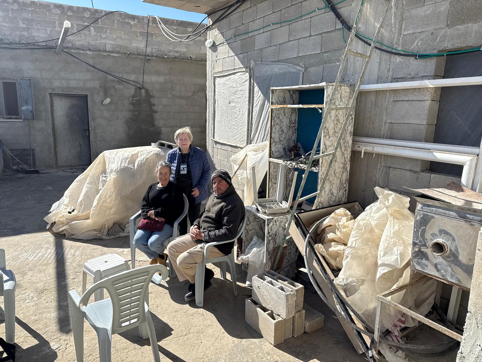
 Raya YeorDec-18-2025Hebron - Yusri Jaber and part of his family
-
Sa'ir
See all reports for this place-
A relatively affluent suburb of Palestinian Hebron. West of Highway 60 leading from Bethlehem to Hebron. The entrance to Highway 60 and to Shuyukh and Beit Einun to the east is open, but is subject to changes - concrete blocks denying passage are stationed according to the needs of the army.
-
South Hebron Hills
See all reports for this place-
South Hebron Hills
South Hebron Hills is a large area in the West Bank's southern part.
Yatta is a major city in this area: right in the border zone between the fertile region of Hebron and its surroundings and the desert of the Hebron Hills. Yatta has about 64,000 inhabitants.
The surrounding villages are called Masafer Yatta (Yatta's daughter villages). Their inhabitants subsist on livestock and agriculture. Agriculture is possible only in small plots, especially near streams. Most of the area consists of rocky terraces.Since the beginning of the 1980s, many settlements have been established on the agricultural land cultivated by the Palestinians in the South Hebron Hills region: Carmel, Maon, Susia, Masadot Yehuda, Othniel, and more. Since the settlements were established and Palestinians cultivation areas have been reduced; the residents of the South Hebron Hills have been suffering from harassment by the settlers. Attempts to evict and demolish houses have continued, along with withholding water and electricity. The military and police usually refrain from intervening in violent incidents between settlers and Palestinians do not enforce the law when it comes to the investigation of extensive violent Jewish settlers. The harassment in the South Hebron Hills includes attacking and attempting to burn residential tents, harassing dogs, harming herds, and preventing access to pastures.
There are several checkpoints in the South Hebron Hills, on Routes 317 and 60. In most of them, no military presence is apparent, but rather an array of pillboxes monitor the villages. Roadblocks are frequently set up according to the settlers and the army's needs. These are located at the Zif Junction, the Dura-al Fawwar crossing, and the Sheep Junction at the southern entrance to Hebron.
Updated April 2022
 Muhammad D.Jan-4-2026At the Nassar family in Wadi Ras al-Jerfan
-