
Tel Rumeida - cars are not allowed and the heavy burden is carried on the back


M. reports that yesterday, a large number of Palestinians went to work for a few weeks in Israel, very crowded and carrying mattresses which they took with them to sleep:
And now for today.
Route 60:
The Palestinian Authority’s barricade at the Dura entrance has been removed. In the morning, however, the IDF blocked the entrance to El Fawwar, as well as south of the junction at the entrance to El Fawwar. A little later these had been removed.
The ads in praise of sovereignty were removed from the 60 road and remained only at the hitchhiking entrance to Kiryat Arba. But later on in Gush Etzion I saw this ad later, which calls for a hill to be populated on 60 Road north of Halhul.
Hebron
The settlers excel in visually taking over all the space, through loads of ads which are pasted everywhere and point the direction to various sites, here Beit Midrash, a museum name, and so on
Tel Rumeida: Al Haj Radi Hamad, whose house at the corner is next to the soldiers, points to the closed iron doors, where his son had a supermarket, which was closed 20 years ago, at which time they also closed the family copper factory up in Tel Rumeida, where 20 workers were employed. Precisely at this moment his 86-year-old brother descend with difficulty. He lives on the road going up to Tel Rumeida but needs permission to get to his home. The cars are left far away and the gas balloons have to be carried home on the back. He said that today senior personalities visit the settlers in a convoy. In the corner, two officers with the rank of captain are talking to a man in civilian dress whom the Haj identifies as GSS men.
.Kiryat Arba: Following the street signs that refer to the “Museum of the Land of Judah”, we are directed to the location – inside the local council offices which are in the large commercial center. Someone suggests that I should not be disappointed because “it’s not very much“. In the end, the upper floor with the museum can only be seen through the glass wall. For some reason it can only be reached by an elevator and can only be opened with a special key. Exhibitions of Jewish archeology in the Land of Judah, or photographs, and the style mimics museums such as the Bible Lands Museum.
The local council building is interesting in itself, full of men in large knitted kippot coming out of the office of the head of the council and in the other offices only women with head coverings of course.
Let it be clear: Kiryat Arba is Hebron, yes ?!
And down the hall an example of multiculturalism [Jews only] in the settlements of course.
And finally at the exit, on private Palestinian land, there is already the statement of the plan for construction of a winery.
Dura Al-Fawwar Junction
See all reports for this place-
Junction on Route 60: west - the town of El Dura, east - the Al Fawwar refugee camp. There is a manned pillbox at the junction. From time to time the army sets up flying checkpoints at the entrance to El Fawwar and Al Dura. Al-Fawwar is a large refugee camp (7,000 inhabitants in 2007) established in 1949 to accommodate Palestinian refugees from Be'er Sheva and Beit Jubrin and environs. There are many incidents of stone-throwing. In the vicinity of the pillbox there are excellent agricultural areas, Farmers set up stalls adjacent to the plots close to the road. In recent months the civil administration has set up dirt embankments thereby blocking access to the stalls, and making it impossible for the farmers to sell their vegetables. Updated April 2021, Michal T.
-
Hebron
See all reports for this place-
According to Wye Plantation Accords (1997), Hebron is divided in two: H1 is under Palestinian Authority control, H2 is under Israeli control. In Hebron there are 170,000 Palestinian citizens, 60,000 of them in H2. Between the two areas are permanent checkpoints, manned at all hours, preventing Palestinian movement between them and controlling passage of permit holders such as teachers and schoolchildren. Some 800 Jews live in Avraham Avinu Quarter and Tel Rumeida, on Givat HaAvot and in the wholesale market.
Checkpoints observed in H2:
- Bet Hameriva CP- manned with a pillbox
- Kapisha quarter CP (the northern side of Zion axis) - manned with a pillbox
- The 160 turn CP (the southern side of Zion axis) - manned with a pillbox
- Avraham Avinu quarter - watch station
- The pharmacy CP - checking inside a caravan with a magnometer
- Tarpat (1929) CP - checking inside a caravan with a magnometer
- Tel Rumeida CP - guarding station
- Beit Hadassah CP - guarding station
Three checkpoints around the Tomb of the Patriarchs
 Muhammad D.May-13-2026Hebron - Request for compensation for land expropriation
-
South Hebron Hills
See all reports for this place-
South Hebron Hills
South Hebron Hills is a large area in the West Bank's southern part.
Yatta is a major city in this area: right in the border zone between the fertile region of Hebron and its surroundings and the desert of the Hebron Hills. Yatta has about 64,000 inhabitants.
The surrounding villages are called Masafer Yatta (Yatta's daughter villages). Their inhabitants subsist on livestock and agriculture. Agriculture is possible only in small plots, especially near streams. Most of the area consists of rocky terraces.Since the beginning of the 1980s, many settlements have been established on the agricultural land cultivated by the Palestinians in the South Hebron Hills region: Carmel, Maon, Susia, Masadot Yehuda, Othniel, and more. Since the settlements were established and Palestinians cultivation areas have been reduced; the residents of the South Hebron Hills have been suffering from harassment by the settlers. Attempts to evict and demolish houses have continued, along with withholding water and electricity. The military and police usually refrain from intervening in violent incidents between settlers and Palestinians do not enforce the law when it comes to the investigation of extensive violent Jewish settlers. The harassment in the South Hebron Hills includes attacking and attempting to burn residential tents, harassing dogs, harming herds, and preventing access to pastures.
There are several checkpoints in the South Hebron Hills, on Routes 317 and 60. In most of them, no military presence is apparent, but rather an array of pillboxes monitor the villages. Roadblocks are frequently set up according to the settlers and the army's needs. These are located at the Zif Junction, the Dura-al Fawwar crossing, and the Sheep Junction at the southern entrance to Hebron.
Updated April 2022
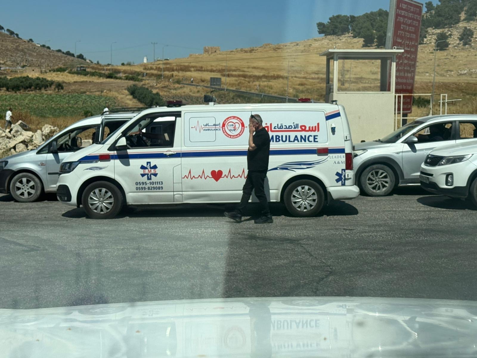 Yael ZoranJun-18-2026An ambulance is waiting in front of the closed checkpoint in El-Fawwar
-