
דרום הר חברון

Meitar checkpoint
A long line of cars awaited us at the entrance to the checkpoint. Many trucks are loaded with sand that unload the sand in special facilities that are on the entrance side of the checkpoint and return with gravel from the quarries in the southern Hebron Mountains using the “back to back” method. Apparently the delay in crossing the checkpoint was due to a dispute over information leaflets related to Corona. We did not receive any.
In the laundered language of the occupation, a checkpoint is called a “crossing” and a large sign ‘Welcome to Meitar Pass” received those coming. Only in small letters are you informed that you are entering military territory. These are barriers and not crossings (in the words of the security system) – because these are not neutral facilities where everyone who travels between the occupied West Bank and Israel passes, but which block beyond the majority of the Palestinian population and does not exist for the Jews at all. These are the words of Amira Hass in Haaretz in September 2019.
We entered by car into the area from which the Palestinians entering Israel are leaving. When the car windows were closed the view looked really pastoral. I thought that as part of improving the passage, a stream was being planned for the well-being of the passers-by, but as soon as I opened the window a terrible stench rose from the “stream” and did did not leave me for many hours after I left the place. It seems to be the sewage from the Hebron River.
Due to the closure and high morbidity in the Hebron area, we do not get out of the car. We continued our journey on Road 60 to Khursa. All the intersections we passed were open and the amount of Palestinian vehicles on the road was very sparse.
South Hebron Hills
See all reports for this place-
South Hebron Hills
South Hebron Hills is a large area in the West Bank's southern part.
Yatta is a major city in this area: right in the border zone between the fertile region of Hebron and its surroundings and the desert of the Hebron Hills. Yatta has about 64,000 inhabitants.
The surrounding villages are called Masafer Yatta (Yatta's daughter villages). Their inhabitants subsist on livestock and agriculture. Agriculture is possible only in small plots, especially near streams. Most of the area consists of rocky terraces.Since the beginning of the 1980s, many settlements have been established on the agricultural land cultivated by the Palestinians in the South Hebron Hills region: Carmel, Maon, Susia, Masadot Yehuda, Othniel, and more. Since the settlements were established and Palestinians cultivation areas have been reduced; the residents of the South Hebron Hills have been suffering from harassment by the settlers. Attempts to evict and demolish houses have continued, along with withholding water and electricity. The military and police usually refrain from intervening in violent incidents between settlers and Palestinians do not enforce the law when it comes to the investigation of extensive violent Jewish settlers. The harassment in the South Hebron Hills includes attacking and attempting to burn residential tents, harassing dogs, harming herds, and preventing access to pastures.
There are several checkpoints in the South Hebron Hills, on Routes 317 and 60. In most of them, no military presence is apparent, but rather an array of pillboxes monitor the villages. Roadblocks are frequently set up according to the settlers and the army's needs. These are located at the Zif Junction, the Dura-al Fawwar crossing, and the Sheep Junction at the southern entrance to Hebron.
Updated April 2022
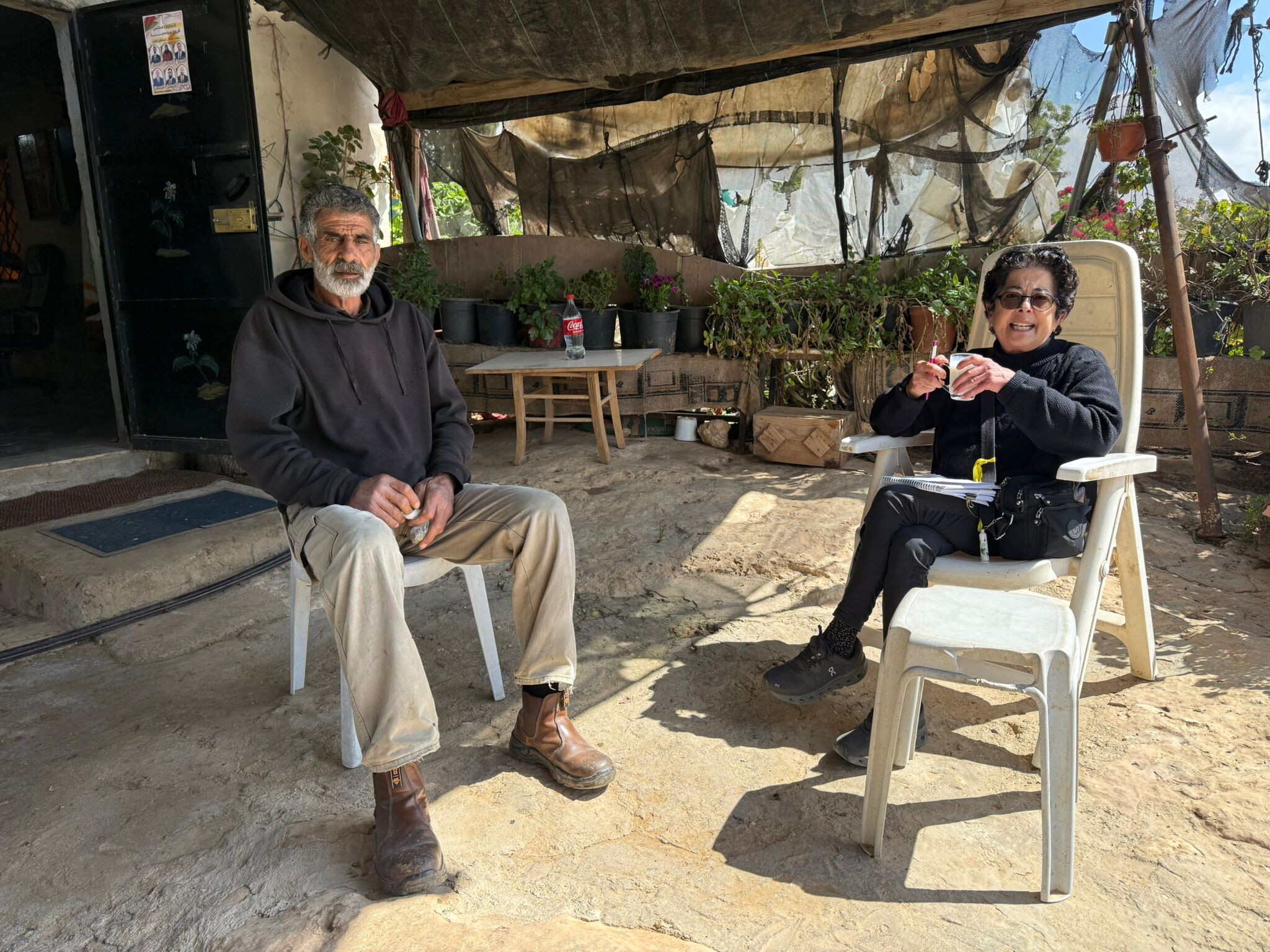 Muhammad D.Apr-21-2026Daphna with Azzam in Susiya
-