
Settlers burned down a house in Susiya

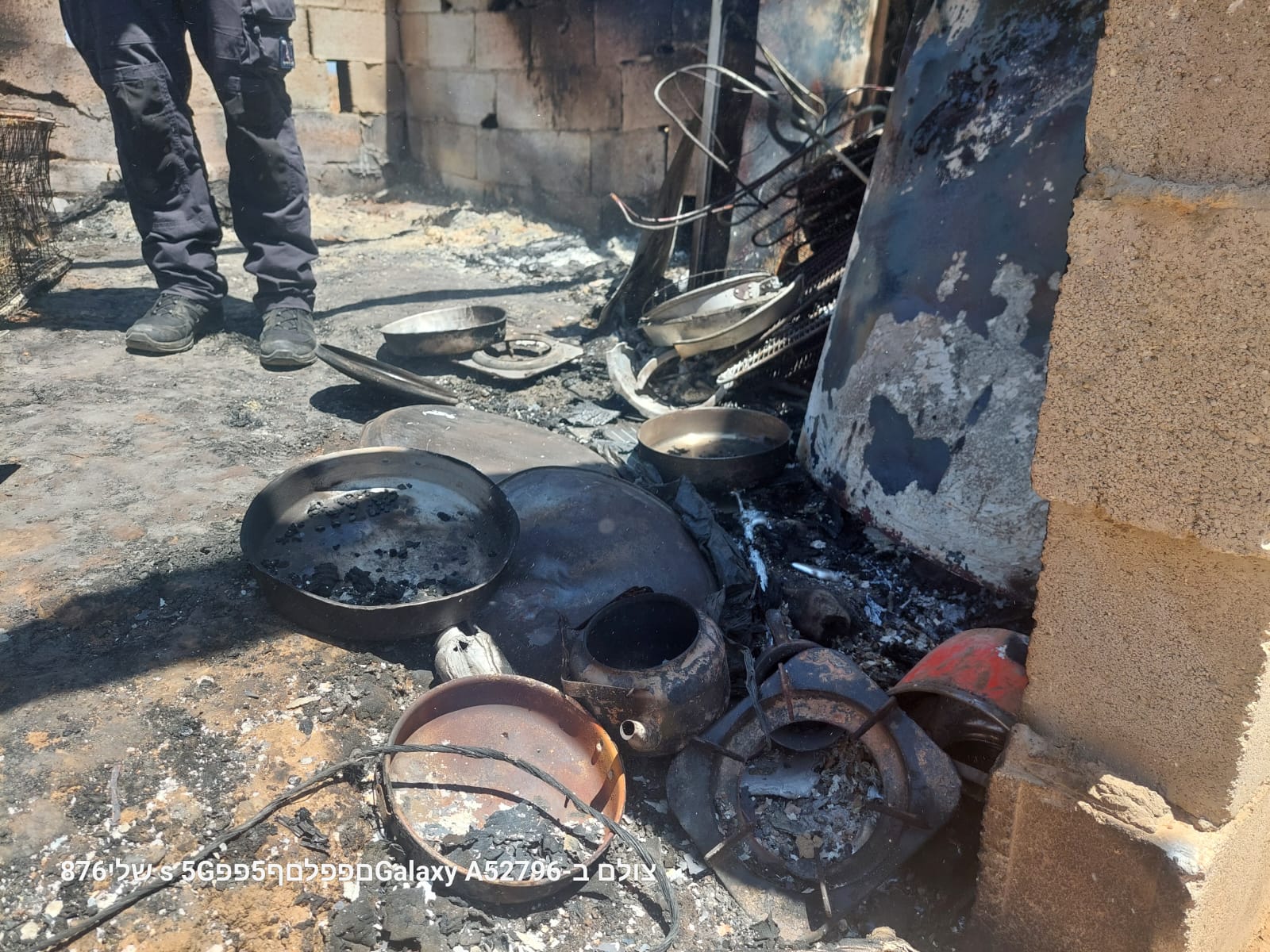

We went to Susiya to visit Ahmad Nawaja’ah, who, like many there, suffers from the constant harassment of Shem Tov Luski and his boys. But, after they called us and told us that the settlers had burned down someone else’s house last night, we first went to Nasser Shritah, the owner of the burned “house.”
But first, we drove along Highway 6 and surveyed the state of the entrances to the settlements along the way.
The gate to Samu’ was closed.
On the road to Simia, there are piles of stones and dirt to block the exit or entrance.
To Dahariya, which has been closed since October 7, many vehicles on both sides of the gate. The back-to-back system, as there is no other way.
To Abda, the gate is closed.
In front of the spring before the Dura al-Fawwar junction, a checkpoint is manned by soldiers. The road to Dura is closed. The road to Al-Fawwar is open, but soldiers are stopping and checking cars. Many women and children walk to cross the intersection towards Dura.
The entrances to Qilqis and Hebron are closed. There are also people walking there, including old people, women and children.
The Sheep Intersection is locked and closed. At the entrance to Hebron, soldiers stand in their post.
At the intersection of Route 6 and Route 317, a military vehicle and soldiers are guarding the intersection.
The Zif Intersection is open, but many soldiers are stopping and checking cars. A long line of cars is empty. At Nabil’s grocery store, we bought groceries and drove to Susiya. Nasser Shritah stands stunned in front of his burnt-down house. At least the police fire truck was there. I wonder what came out of their investigation. Nasr Nawaja’ah says that at 1:15 a.m. people arrived and set fire and fled. They saw two masked men. Luckily, this building is used as a kitchen and a store. So, it was empty at that hour. Everyone was sleeping in a nearby building, nine people, parents and seven children. We received a video from the night and I filmed what was left. I also filmed the neighbouring ancient Susiya building, with the Shem Tov Luski settlement on the hill above it. In addition to the police investigators, there were also volunteers from other organizations and the horrific image of the fire has already been distributed around the world. Now photographers will also send the remains of the kitchen and furniture, which were completely destroyed. We left bundles of clothes there and drove to Ahmad and Halima. “We have no day and no night,” says Halima. “The settlers with their herds are coming onto our land. We are not allowed to approach the road and are being intimidated at all hours of the day and night. “Sarah, our second daughter, is afraid of them and does not want to come at home. She stayed with grandparents in Yatta. Only Sauer is here with us.” We brought them what we bought and promised to stay in touch.
An awful routine.
Location Description
Dura Al-Fawwar Junction
See all reports for this place-
Junction on Route 60: west - the town of El Dura, east - the Al Fawwar refugee camp. There is a manned pillbox at the junction. From time to time the army sets up flying checkpoints at the entrance to El Fawwar and Al Dura. Al-Fawwar is a large refugee camp (7,000 inhabitants in 2007) established in 1949 to accommodate Palestinian refugees from Be'er Sheva and Beit Jubrin and environs. There are many incidents of stone-throwing. In the vicinity of the pillbox there are excellent agricultural areas, Farmers set up stalls adjacent to the plots close to the road. In recent months the civil administration has set up dirt embankments thereby blocking access to the stalls, and making it impossible for the farmers to sell their vegetables. Updated April 2021, Michal T.
-
Hakvasim (sheep) Junction
See all reports for this place-
One of the roadblocks (earthworks, rocks, concrete blocks or iron gates) that prevent transit of vehicles to Route 60 in the southern West Bank and block the southern entrance to Hebron. A manned pillbox supervises the place.
-
Hebron
See all reports for this place-
According to Wye Plantation Accords (1997), Hebron is divided in two: H1 is under Palestinian Authority control, H2 is under Israeli control. In Hebron there are 170,000 Palestinian citizens, 60,000 of them in H2. Between the two areas are permanent checkpoints, manned at all hours, preventing Palestinian movement between them and controlling passage of permit holders such as teachers and schoolchildren. Some 800 Jews live in Avraham Avinu Quarter and Tel Rumeida, on Givat HaAvot and in the wholesale market.
Checkpoints observed in H2:
- Bet Hameriva CP- manned with a pillbox
- Kapisha quarter CP (the northern side of Zion axis) - manned with a pillbox
- The 160 turn CP (the southern side of Zion axis) - manned with a pillbox
- Avraham Avinu quarter - watch station
- The pharmacy CP - checking inside a caravan with a magnometer
- Tarpat (1929) CP - checking inside a caravan with a magnometer
- Tel Rumeida CP - guarding station
- Beit Hadassah CP - guarding station
Three checkpoints around the Tomb of the Patriarchs
 Raya YeorDec-18-2025Hebron - Yusri Jaber and part of his family
-
South Hebron Hills
See all reports for this place-
South Hebron Hills
South Hebron Hills is a large area in the West Bank's southern part.
Yatta is a major city in this area: right in the border zone between the fertile region of Hebron and its surroundings and the desert of the Hebron Hills. Yatta has about 64,000 inhabitants.
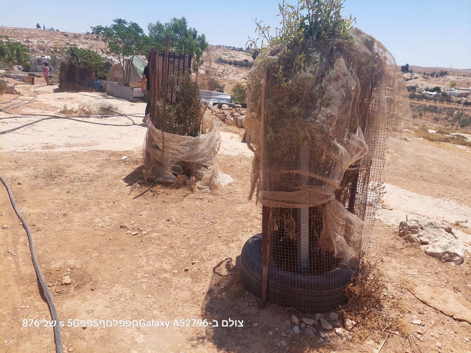
The surrounding villages are called Masafer Yatta (Yatta's daughter villages). Their inhabitants subsist on livestock and agriculture. Agriculture is possible only in small plots, especially near streams. Most of the area consists of rocky terraces.Since the beginning of the 1980s, many settlements have been established on the agricultural land cultivated by the Palestinians in the South Hebron Hills region: Carmel, Maon, Susia, Masadot Yehuda, Othniel, and more. Since the settlements were established and Palestinians cultivation areas have been reduced; the residents of the South Hebron Hills have been suffering from harassment by the settlers. Attempts to evict and demolish houses have continued, along with withholding water and electricity. The military and police usually refrain from intervening in violent incidents between settlers and Palestinians do not enforce the law when it comes to the investigation of extensive violent Jewish settlers. The harassment in the South Hebron Hills includes attacking and attempting to burn residential tents, harassing dogs, harming herds, and preventing access to pastures.
There are several checkpoints in the South Hebron Hills, on Routes 317 and 60. In most of them, no military presence is apparent, but rather an array of pillboxes monitor the villages. Roadblocks are frequently set up according to the settlers and the army's needs. These are located at the Zif Junction, the Dura-al Fawwar crossing, and the Sheep Junction at the southern entrance to Hebron.
Updated April 2022
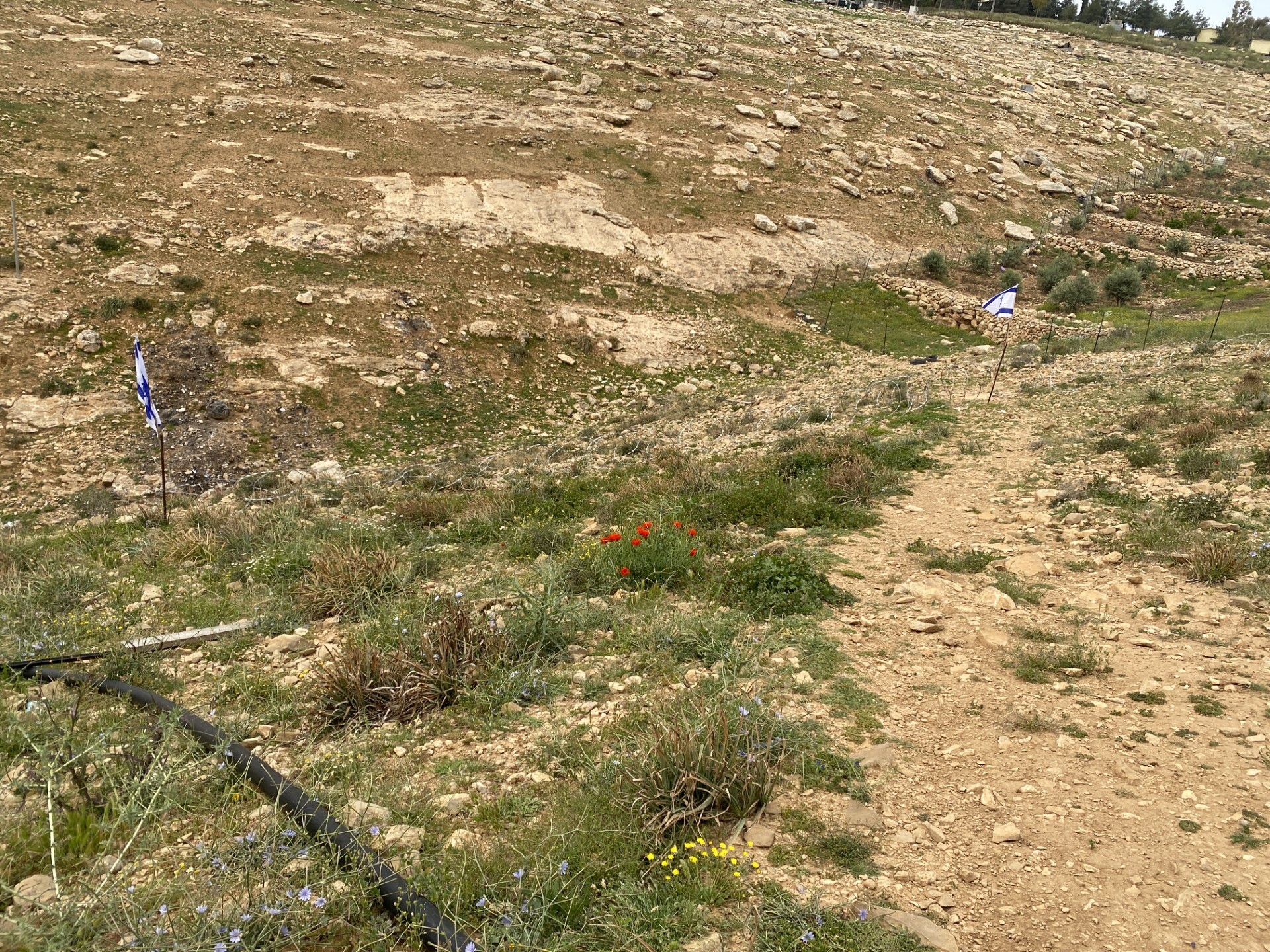 Yael ZoranApr-15-2026Between the flags, barbed wire blocks passage to the dirt path.
-
Susiya
See all reports for this place-
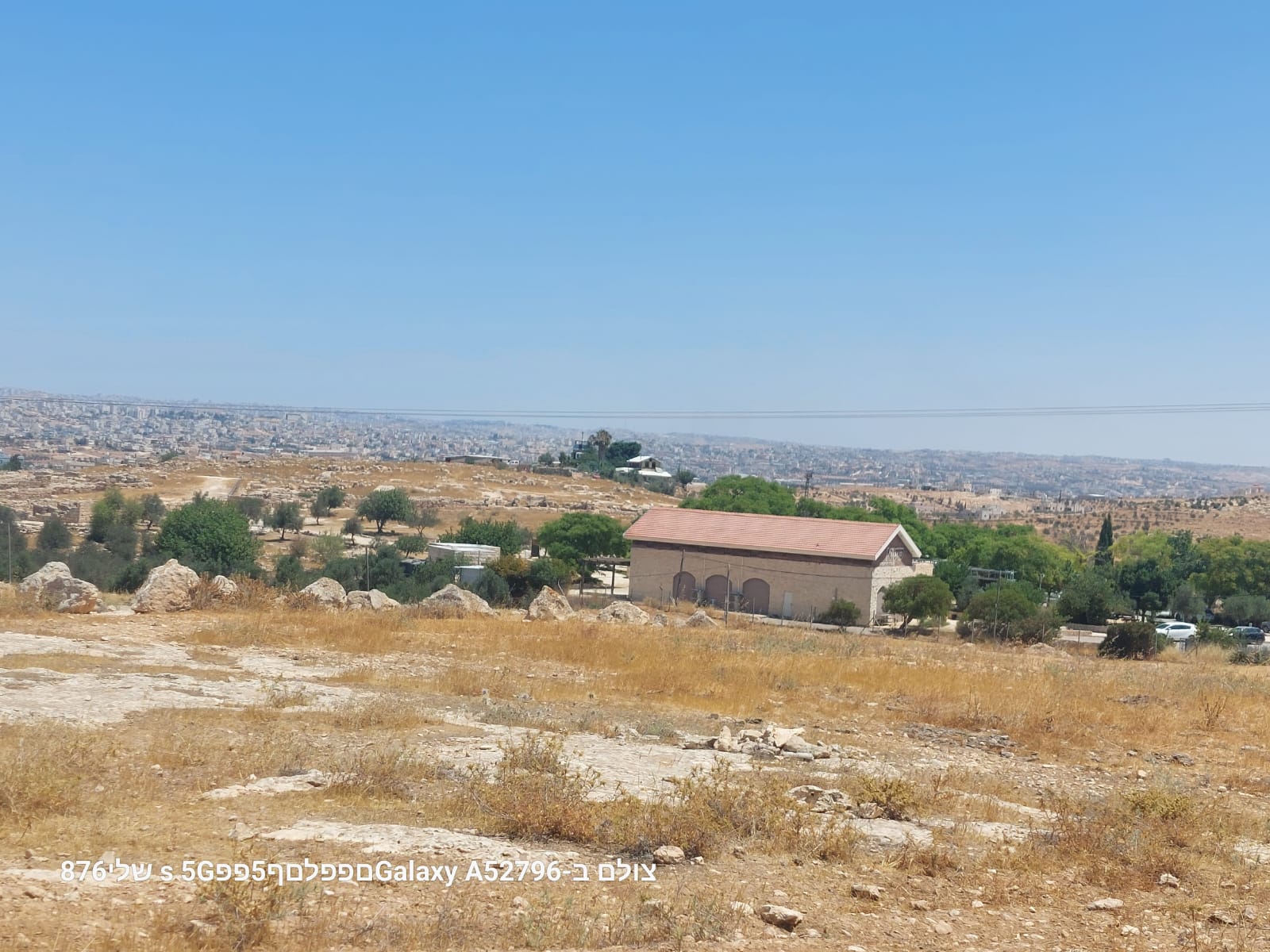
Susiya The Palestinian area lies between the settlement of Susya and a military base. The residents began to settle in areas outside the villages in the 1830s and lived in caves, tents and sukkot. To this day they maintain a traditional lifestyle and their livelihood is based on agriculture and herding. Until the 1948 war, the farmers cultivated areas that extended to the Arad area. As a result of the war, a significant portion of their land left on the Israeli side was lost. After the 1967 war and the Israeli occupation, military camps were established in the area, fire zones and nature reserves were declared, and the land area was further reduced. The Jewish settlement in Susya began in 1979. Since then, there has been a stubborn struggle to remove the remains of Palestinian residents who refuse to leave their place of birth and move to nearby town Yatta. With the development of a tourist site in Khirbet Susya in the late 1980s (an ancient synagogue), dozens of families living in caves in its vicinity were deported. In the second half of the 1990s, a new form of settlement developed in the area - shepherds' farms of individual settlers. This phenomenon increased the tension between the settlers and the original, Palestinian residents, and led to repeated harassment of the residents of the farms towards the Palestinians. At the same time, demolition of buildings and crop destruction by security forces continued, as well as water and electricity prevention. In the Palestinian Susya, as in a large part of the villages of the southern Hebron Mountains, there is no running water, but the water pipe that supplies water to the Susya Jewish settlement passes through it. Palestinians have to buy expensive water that comes in tankers. Solar electricity is provided by a collector system, installed with donation funds. But the frequent demolitions in the villages do not spare water cisterns or the solar panels and power poles designed to transfer solar electricity between the villages. Updated April 2021, Anat T.
-
Zif Junction
See all reports for this place-
Zif Junction located on the crossroads that directs towards Road 356 to Yata. Yata is the district city of the southern Hebron Mountains. Usually, this junction is open to traffic. The nearby pillbox is unmanned. But the army and police are present occasionally, sometimes setting up a checkpoint and sometimes detaining residents from the big city. Often, the Israeli policemen inspect vehicles and distribute driving reports to Palestinian vehicles. s
-