'Anata-Shu'afat, Al-Ezariya, Bethlehem (300), Container (Wadi Nar), Nuaman (Mazmuria)

In congested Jerusalem the morning after the night attack in Kiryat Arba – two days before the elections.
Tunnels are dug in places where traffic for settlers crawls in the morning and evening – the Ramat Shlomo neighborhood bordering Beit Hanina up to road No. 1 going down to the Dead Sea (Ma’ale Adumim road) and on the Hebron road towards the southern American road. These will be tunnels only for holders of blue IDs
The only road for Palestinians from Ramallah to Bethlehem is still narrow, steep and winding up to the Wadi Nar checkpoint. The checkpoint was upgraded with soldiers and a cafe/convenience store instead of the small family grocery store. There are no donkeys tethered in what used to be a parking lot, but the dogs from the local dynasty still roam the road leading to the checkpoint.
At the Shuafat checkpoint, the procedures were changed after the attack on the checkpoint soldiers on the second eve of Sukkot. The internal barriers were removed a few days after the terrorist was captured.
Bethlehem checkpoint
7:00 Perhaps because of the fear of Israel’s immediate reaction to the attack, the checkpoint is relatively empty and the passage is smooth. One position, a little way off, is open to women and men. In a conversation with the passers-by, it turns out that most of them are from Bethlehem. They say there is no closure on Hebron.
Mazmuriya of Wadi Nar
A long queue of cars from the stuck road – Har Homa – to the Hebron road. The American way can perhaps shorten the time, but requires a detour through the Umm-Lissan and Jebel Mukabber neighborhoods. Only cars with Israeli license plates pass through the Mazmuriya checkpoint leading to Tuqu’, and the roads to the village of Mazmuriya are controlled as an entrance to Area A.
The only road leading Palestinians from the south of the West Bank to the north (in this part 4171) winds and reaches the Wadi Nar checkpoint (the container) for the passage of vehicles only. The soldiers chat to one another at the closed checkpoints, and traffic flows without inspection. Two female soldiers approach us, surprised that we are there . They have been here for two years in 8-hour shifts. They wanted to be combat soldiers. The well-remembered small grocery store was sold and turned into a cafe and convenience store. The nice old woman from the grocery store is dead, and so is her sick son. We buy exotic juices and sweets from Nablus at the cheapest price. A one-way bypass road overlooks the southern Keidar outpost (according to our knowledge, delusioned spiritualists live there and the soldiers who guard them) and the highly developed Keidar settlement. The way to them is blocked. Lampposts with broken solar panels are placed on the sides of the narrow road. Continuing in the direction of
Al-Ezariya, we pass several camps of the Jahalin, far from the concentration of the Bedouin tribe (expelled from E1) located near Al-Ezariya. You reach the section of the road which was renovated by the Americans in the hope that it ould become a main two-lane road along its entire length. With the collapse of the Oslo Accords, hopes were dashed.
Shuafat refugee camp checkpoint
We haven’t been here since the attack on the Eve of Sukkot. The checkpoint area looks like an abandoned battlefield, stones and fire marks everywhere. Two internal checkpoints were stationed here before the main checkpoint, and they were removed after the killing of the terrorist, Tamimi, who came on foot for another attack at the entrance to Ma’ale Adumim. Kamal the driver knows his family, all residents of Jerusalem, and says he had no criminal or security record.
Kamal tells us on the drive about his own childhood in the Mughrabi neighborhood (near the Western Wall) above Silwan. Contrary to what we knew, he says that Hussein is the one who moved the residents of the neighborhood to the refugee camp before the Six Day War. Only a few residents remained there before the occupation of Jerusalem, and all the houses were destroyed by the Israelis a few days after the war to create the Western Wall plaza. For him, this links to a widespread conspiracy theory, that Hussein was coordinating with Israel before the war. The doubts we raise do not convince him, but he just nods. Palestinian etiquette..
The garbage, the overflowing garbage at the entrance to this checkpoint causes Natanya to say that she always asks herself when the moment will come when the garbage will block the entrance to pedestrians…
Al-'Eizariya
See all reports for this place-
Al-'Eizariya
At exit from Al-'Eizariya, before square leading to Maale Adumim. Mobile checkpoint (jeep and Border Police) operating till 09:00 am, facilitating traffic exiting Maale Adumin on three kilometer strip of road, also permissible for Palestinian vehicles. A similar checkpoint in the opposite direction, on road between Mishor Adumim and Adumim Junction. This checkpoint facilitates settler traffic on the Jerusalem-Jericho-Rift Valley road.
-
Bethlehem (300)
See all reports for this place-
Located adjacent to the Separation Wall ("Jerusalem Wrap") at the north entrance to Bethlehem, this checkpoint cuts off Bethlehem and the entire West Bank from East Jerusalem, with all the serious implications for health services, trade, education, work and the fabric of life. The checkpoint is manned by the Border police and private security companies. It is an extensive infrastructure barrier and is designated as a border terminal, open 24 hours a day for foreign tourists. Israeli passport holders are not allowed to pass to Bethlehem, and Palestinian residents are not allowed to enter Jerusalem, except those with entry permits to Israel and East Jerusalem residents. Israeli buses are allowed to travel to Bethlehem only through this checkpoint.The checkpoint, which demonstrated harsh conditions of crowding and extreme passage delays for years, started employing advanced electronic identification posts and has upgraded its gates' system as of the middle of 2019 - and conditions improved.Adjacent to the checkpoint, in an enclosure between high walls and another passage, is the historic Rachel's Tomb, which is now embedded within a concrete fortified building. It contains prayer and study complexes for Jews only, as well as a residential complex. updated November 2019 .
-
Checkpoint Shu'afat camp / Anata-Shu'afat (Jerusalem)
See all reports for this place-
The Shu’afat checkpoint is located in the northern part of East Jerusalem at the exit from the village of Anata and the Shu’afat refugee camp, which are located in the area annexed to Jerusalem in 1967. The refugee camp borders the Shu’afat neighborhood to the west, Pisgat Ze’ev to the north, the French Hill neighborhood to the south and the planned expansion of Ma’aleh Adumim to E-1 in the east. It was established in 1966 for 1948 refugees from the West Bank and was populated after the Six Day War by persons who had been expelled from the Jewish Quarter. Today its population comprises some 25,000 people holding blue ID cards and some 15,000 people with Palestinian ID cards. The camp lacks adequate infrastructure and services, and suffers from poverty, neglect and overcrowding. All its buildings are connected to the public electricity and water infrastructure, but not all are connected to the sewer system. The camp’s services are provided by UNRWA, except for those such as health clinics and transportation of pupils to schools in Jerusalem. In 2005, the Israeli High Court of Justice rejected a suit by the residents requesting that the route of the separation fence be drawn such that the camp would remain on the Israeli side, but conditioned its approval of the route on the establishment of a convenient and rapid crossing facility for the inhabitants of the neighborhood, most of whom are residents of Jerusalem.
A temporary checkpoint operated there until December, 2011. It was extremely congested during rush hours, and dangerous for pedestrians (especially children) because of inadequate safety provisions. The new checkpoint was inaugurated south of the old one, for public and private transportation and for pedestrians, intended solely for the residents of the camp – holders of blue ID cards, and those with Palestinian ID cards who possess appropriate permits. There are five vehicle inspection stations at the checkpoint, and two for pedestrians (one of which is currently closed) where scanners have been installed but are not yet operating. According to the army, representatives of government agencies will also be present to provide services to residents of the neighbourhood. The pedestrian lanes are very long, located far from the small parking lots, and accessible through only a single revolving gate.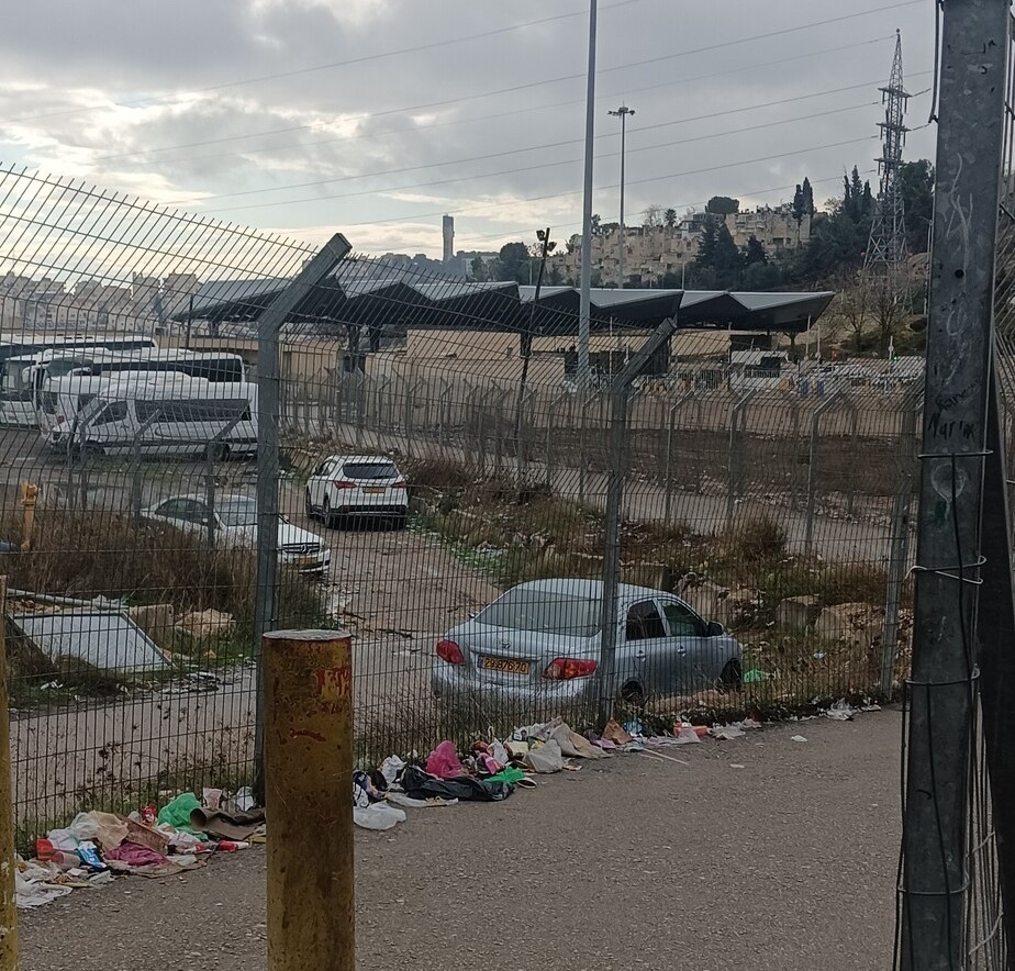 Ronny PerlmanDec-10-2025Anata Checkpoint: Neglect
-
Container (Wadi Nar)
See all reports for this place-
Wadi Nar Checkpoint ("Container", "The Kiosk") - a barrier for vehicles in Area B that is regularly manned - east of Abu Dis between Sawahra A Sharqiya and Bethlehem and its daughters. Controls Palestinian movement between the north and south West-Bank. Includes driving routes, access roads, spikes, traffic lights and signs. There is no pedestrian crossing. Open 24 hours a day with random checks enhanced on security alerts. The checkpoint is in Palestinian territory, allowing for separation between the north and the south Palestinian areas when necessary.
In 2015, the leading road from Azaria to Bethlehem was renovated, as well as the steep and narrow ascent to the Wadi Nar checkpoint, which was dangerously travelled in both directions! The temporary checkpoint was renovated and expanded, and pedestrian traffic was banned. From 2016, traffic travelling from the south bank to Azaria was directed to a one-way road near the Southern Keydar Jewish settlement.
Machsomwatch shifts visit this far-fetched checkpoint only occasionally.
(updated to July 2019)
-
Nu'man (Mazmuria)
See all reports for this place-
situated on the Wall route as part of "Jerusalem Envelope," in its southeastern stretch, east of Zur Baher, Um Tuba and the small Nuaman Village, on Beit Sahur road, the checkpoint will serve as the main crossing for commercial goods from the southern West Bank to Jerusalem.
-