‘Azzun, Beit Furik, Beit Iba, Deir Sharaf, Huwwara, Shave Shomron, Shomron Crossing, Za’tara (Tapuah), Sun 8.5.11, Morning
.
Izbat Tabib (not) checkpoints Nablus
The settlements thrive. Remains of checkpoints and watchtowers are a reminder and warning of possible army action at any moment. Army vehicles assert presence on roads. On the main road of the village Hawarra trade is developing.
We set out after a long absence from the Nablus area. But first we turned to Izbat Tabib as we had been invited to meet people there.
11.30 Izbat Tabib. We met M. on whose land next to route 55 the military plan to put a fence. There were a few international volunteers and a few men, women and children of the village. They piled dry grasses on M’s wagon. While we were there military vehicles of the DCO passed now and then on the road to 'Azzun. They would pause a while and then continue. One of the international volunteers, A., said that the soldiers told the people to leave. But while we were there we did not see them physically preventing people from working.
Dalia and Dvorka arrived and when we saw the people continuing to work, we left at 12.10 and continued to Nablus checkpoints.
We drove via 'Azzun (10 minutes) and returned to route 55. We passed Kedumim which spreads over both sides of the road, with permanent stone-covered buildings.
G'it Punduk: At the G’it junction we saw cars continuing to Sirah, turning to Route 60 to reach Hawarra. At Yizhar, too, we saw continuing expansion. In the square at the approach to Hawarra soldiers were manning the watchtower as well as the watch point at the ascent to Har Bracha. The checkpoint itself seemed abandoned. Weeds abound. Cars travel unimpeded in both directions. The pillbox appears manned. We turned towards ‘Madison route’. A sign advertises a women’s clothes shop opened in the local council area and further there is an improvised notice saying in English ‘to Awarta only’ with an arrow pointing right.
A yellow metal bar blocks what was once the way to theback to back checkpoint and to Nablus and there are no soldiers on guard.
12.55 Beit Furik is not manned traffic is free in both directions. On a concrete pillar in the direction away from Nablus (where once was written ‘death to Arabs’) is now handwritten “No turn left” (i.e., towards Elon Moreh).
13.48 Where ‘Haviot' checkpoint was previously, there are means of closing but the road is open.
13.58 Similarly where once Shavei Shomron checkpoint was, the opening that had been made in the wall, which joined the road to the army camp has been blocked. On the wall itself there is a fence.
In the area of the previous Beit Iba checkpoint, the quarry works and spreads. No sign of the factory ‘Juneidi.’
In order to pass Zatrah, we returned via Hawarra. The main road of Hawarra is full of signs advertising new products and businesses. Some are written in Hebrew. They invite passers-by to take part in the opening of Palestinian commerce.
14.23Zatrah is manned by Border Police. 7 cars are in line. The policeman peers through the window of each car.
And at Ma’avar Shomron (Shomron Crossing) we once again enjoyed the privilege of being ‘white.’
'Azzun
See all reports for this place-
Azoun (updated February 2019)
A Palestinian town situated in Area B (under civil Palestinian control and Israeli security control),
on road 5 between Nablus and Qalqiliya, east of Nabi Elias village. The inhabitants are allowed to construct and improve infrastructures. The Separation Fence has confiscated lands belonging to the town's people. In 2018 olive tree groves owned by one of its inhabitants were confiscated for the sake of paving a road to bypass Nabi Elias. Azoun population numbers 13,000, its economic state dire. Its infrastructures are poor, neglect and poverty rampant. In the meantime, the town council has completed paving an internal road for the inhabitants' welfare.
Because of its proximity to the Jewish settler-colony of Karnei Shomron and its outposts, the town suffers the intense presence of the Israeli army, especially at nighttime: soldiers enter homes, arrest suspects, trash the house and sometimes ruin it, as they do in numerous places in the West Bank. At times a checkpoint closes the entrance to the town, so no one can come in or get out.
-
Beit Furik checkpoint
See all reports for this place-
One of the three internal checkpoints that closed on the city of Nablus - Beit Furik to the east, Hawara to the south, Beit Iba to the west. The checkpoint is located at the junction of Roads 557 (an apartheid road that was forbidden for Palestinians), leading to the Itamar and Alon Morea settlements and Road 5487. The checkpoint was established in 2001 for pedestrians and vehicles; The opening hours were short and the transition was slow and very problematic.Allegedly, the checkpoint is intended to monitor the movement to and from Nablus of the residents of Beit Furik and Beit Dajan, being the only opening outside their villages. Since May 2009 the checkpoint is open 24 hours a day, the military presence is limited, vehicles can pass through it without inspections, except for random inspections. (Updated April 2010)
-
Beit Iba
See all reports for this place-
A perimeter checkpoint west of the city of Nablus. Operated from 2001 to 2009 as one of the four permanent checkpoints closing on Nablus: Beit Furik and Awarta to the east and Hawara to the south. A pedestrian-only checkpoint, where MachsomWatch volunteers were present daily for several hours in the morning and afternoon to document the thousands of Palestinians waiting for hours in long queues with no shelter in the heat or rain, to leave the district city for anywhere else in the West Bank. From March 2009, as part of the easing of the Palestinian movement in the West Bank, it was abolished, without a trace, and without any adverse change in the security situation.
 Jun-4-2014Beit-Iba checkpoint 22.04.04
-
Deir Sharaf checkpoint
See all reports for this place-
Deir Sharaf checkpoint is located west of Nablus and south of the settlement of Shavei Shomron, at the entrance to the village of Deir Sharaf on the road leading to Nablus. The checkpoint was activated in early March 2009 after the Beit Iba checkpoint was closed. Palestinians are allowed through the checkpoint , but not for Israelis. Unlike the checkpoints leading to Qalqilya and Tulkarm, crossing of Israeli Palestinians is only allowed on Saturdays.
 Nina SebaFeb-28-2024Deir Sharaf - the entrance to the village
-
Huwwara
See all reports for this place-
The Huwwara checkpoint is an internal checkpoint south of the city of Nablus, at the intersection of Roads 60 and 5077 (between the settlements of Bracha and Itamar). This checkpoint was one of the four permanent checkpoints that closed on Nablus (Beit Furik and Awarta checkpoints to the east and the Beit Iba checkpoint to the west). It was a pedestrian-only barrier. As MachsomWatch volunteers, we watched therre since 2001 two shifts a day - morning and noon, the thousands of Palestinians leaving Nablus and waiting for hours in queues to reach anywhere else in the West Bank, from the other side of the checkpoint the destination could only be reached by public transport. In early June 2009, as part of the easing of Palestinian traffic in the West Bank, the checkpoint was opened to vehicular traffic. The passage was free, with occasional military presence in the guard tower. Also, there were vehicle inspections from time to time. Since the massacre on 7.10.2023, the checkpoint has been closed to Palestinians.
On February 26, 2023, about 400 settlers attacked the town's residents for 5 hours and set fire to property, such as houses and cars. Disturbances occurred in response to a shooting of two Jewish residents of Har Bracha by a Palestinian Terrorist. The soldiers stationed in the town did not prevent the arson and rescued Palestinian families from their homes only after they were set on fire. No one was punished and Finance Minister Smotrich stated that "the State of Israel should wipe out Hawara." Left and center organizations organized solidarity demonstrations and support actions for the residents of Hawara.Hawara continued to be in the headlines in all the months that followed: more pogroms by the settlers, attacks by Palestinians and a massive presence of the army in the town. It amounted to a de facto curfew of commerce and life in the center of the city. On October 5, 2023, MK Zvi established a Sukkah in the center of Hawara and hundreds of settlers backed the army blocked the main road and held prayers in the heart of the town all night and the next day. On Saturday, October 7, 23 The "Swords of Iron" war began with an attack by Hamas on settlements surrounding Gaza in the face of a poor presence of the IDF. Much criticism has been made of the withdrawal of military forces from the area surrounding Gaza and their placement in the West Bank, and in the Hawara and Samaria region in particular, as a shield for the settlers who were taking over and rioting.
On November 12, 2023, the first section of the Hawara bypass road intended for Israeli traffic only was opened. In this way, the settlers can bypass the road that goes through the center of Hawara, which is the main artery for traffic from the Nablus area to Ramallah and the south of the West Bank. For the construction of the road, the Civil Administration expropriated 406 dunams of private land belonging to Palestinians from the nearby villages. The settlers are not satisfied with this at the moment, and demand to also travel through Hawara itself in order to demonstrate presence and control.(updated November 2023)
. Shoshi AnbarMay-18-2025Huwara: The old houses in Area C
-
Shave Shomron Checkpoint
See all reports for this place-
The checkpoint is on Route 60 (the main road to the northern West Bank), opposite settlement. Has been blocked to Palestinians since disengagement from Gaza and northern Samaria.
-
Shomron Crossing
See all reports for this place-
Shomron Crossing The Shomron checkpoint for vehicles. is located east of Rosh HaAyin and Kafr Qassem, on Road 5 (Trans-Samaria) leading to Ariel and the Za'atara junction. It is intended for blue ID cardholders, foreign guests or diplomats, and international organizations only. In 2009 the management was entrusted to a civil security company.
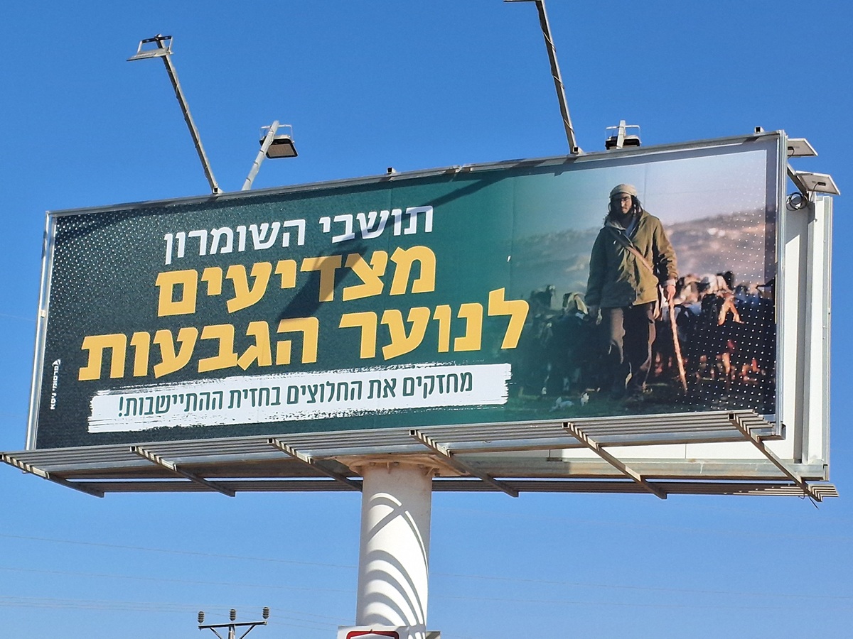 Ronit Dahan-RamatiAug-21-2025Highway 505: Salute to the Hilltop Youth
-
Za'tara (Tapuah)
See all reports for this place-
Za'tara (Tapuah) Za'tara is an internal checkpoint in the heart of the West Bank, at the intersection of Road 60 and Road 505 (Trans-Samaria), east of the Tapuah settlement. This checkpoint is the "border" marked by the IDF between the north and south of the West Bank, in accordance with the policy of separation between the two parts of the West Bank that has been in place since December 2005. At the Za'tara checkpoint, there are separate routes for Israelis and Palestinians. In the route for Israelis, there are no inspections and the route for Palestinians inspects. The queue lengthens and shortens suits. The checkpoint is open 24 hours a day. The checkpoint is partially staffed and the people who pass through it are checked at random.
 Shoshi AnbarSep-27-2023Za'atra (Tapuah Intersection). Signs
-