Hakvasim (sheep) Junction, Hebron, South Hebron Hills
The last shift of 2017
The despair is no easier to bear.
We went through Umm El Hiran and the Shani checkpoint on road 317. It is so despairing to see the new road which is being paved because it is intended for a Jewish settlement. Umm El Hiran still waits for the demolition orders.
Rain, mist. Khirbet Tuwani is asleep. It is now the winter holiday time for the schools. It is cold outside and we hardly see any people.
Army cars guarding the crossroads at Bani Naim. The traffic passes smoothly but there is hardly any.
Hebron in the mist.
The orders to the soldiers at the Pharmacy checkpoint. There are such orders at all the checkpoints where there are soldiers posted. (Not at those of the Border Police).
I could photograph because the soldier was in the house because of the rain.

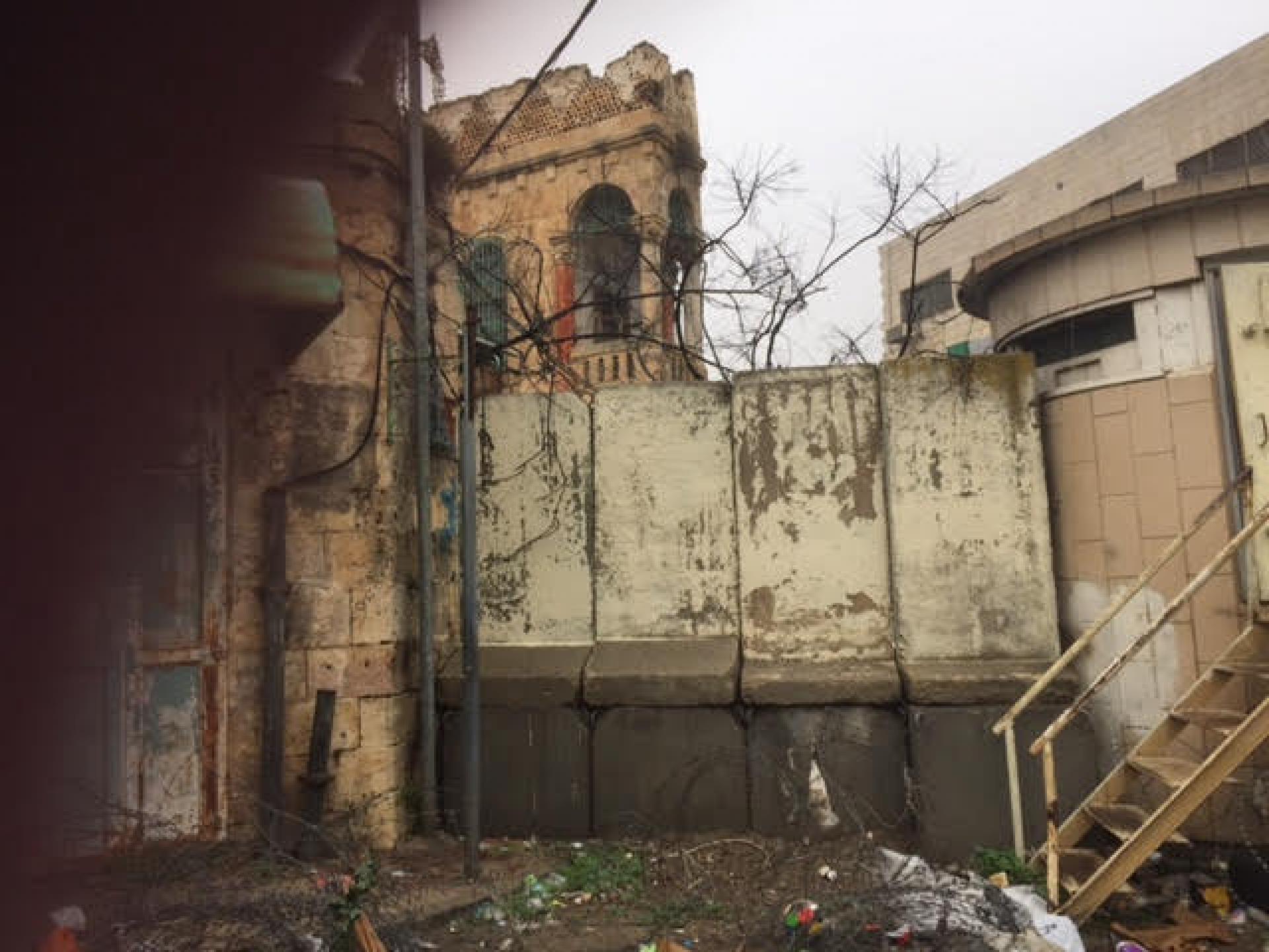
There was a crowd of people near the Hebron Yeshiva and I went to see what was happening.
Just a quarrel between yeshiva students. But this is where the wall that separates the yeshiva from the Casbah can be seen, and you can see how the yeshiva students or the soldiers enter Area H1 whenever they feel like it.
.
The Sheep Crossing in the rain and the soldiers posting a barricade.
There are no other words any more to describe the evidence of the occupation if this word still appears in the Israeli conscience.
Hakvasim (sheep) Junction
See all reports for this place-
One of the roadblocks (earthworks, rocks, concrete blocks or iron gates) that prevent transit of vehicles to Route 60 in the southern West Bank and block the southern entrance to Hebron. A manned pillbox supervises the place.
-
Hebron
See all reports for this place-
According to Wye Plantation Accords (1997), Hebron is divided in two: H1 is under Palestinian Authority control, H2 is under Israeli control. In Hebron there are 170,000 Palestinian citizens, 60,000 of them in H2. Between the two areas are permanent checkpoints, manned at all hours, preventing Palestinian movement between them and controlling passage of permit holders such as teachers and schoolchildren. Some 800 Jews live in Avraham Avinu Quarter and Tel Rumeida, on Givat HaAvot and in the wholesale market.
Checkpoints observed in H2:
- Bet Hameriva CP- manned with a pillbox
- Kapisha quarter CP (the northern side of Zion axis) - manned with a pillbox
- The 160 turn CP (the southern side of Zion axis) - manned with a pillbox
- Avraham Avinu quarter - watch station
- The pharmacy CP - checking inside a caravan with a magnometer
- Tarpat (1929) CP - checking inside a caravan with a magnometer
- Tel Rumeida CP - guarding station
- Beit Hadassah CP - guarding station
Three checkpoints around the Tomb of the Patriarchs
 Raya YeorDec-18-2025Hebron - Yusri Jaber and part of his family
-
South Hebron Hills
See all reports for this place-
South Hebron Hills
South Hebron Hills is a large area in the West Bank's southern part.
Yatta is a major city in this area: right in the border zone between the fertile region of Hebron and its surroundings and the desert of the Hebron Hills. Yatta has about 64,000 inhabitants.
The surrounding villages are called Masafer Yatta (Yatta's daughter villages). Their inhabitants subsist on livestock and agriculture. Agriculture is possible only in small plots, especially near streams. Most of the area consists of rocky terraces.Since the beginning of the 1980s, many settlements have been established on the agricultural land cultivated by the Palestinians in the South Hebron Hills region: Carmel, Maon, Susia, Masadot Yehuda, Othniel, and more. Since the settlements were established and Palestinians cultivation areas have been reduced; the residents of the South Hebron Hills have been suffering from harassment by the settlers. Attempts to evict and demolish houses have continued, along with withholding water and electricity. The military and police usually refrain from intervening in violent incidents between settlers and Palestinians do not enforce the law when it comes to the investigation of extensive violent Jewish settlers. The harassment in the South Hebron Hills includes attacking and attempting to burn residential tents, harassing dogs, harming herds, and preventing access to pastures.
There are several checkpoints in the South Hebron Hills, on Routes 317 and 60. In most of them, no military presence is apparent, but rather an array of pillboxes monitor the villages. Roadblocks are frequently set up according to the settlers and the army's needs. These are located at the Zif Junction, the Dura-al Fawwar crossing, and the Sheep Junction at the southern entrance to Hebron.
Updated April 2022
 MuhammadFeb-24-2026South Hebron Hill, Beit Hagai: Paving an internal security road
-