Hebron, Sa’ir, Sansana (Meitar Crossing), South Hebron Hills
09:00-13:00
At 07:20 in the morning there was an incident in which someone had been run over at the entrance to Kiryat Arba. Here’s what we saw when we arrived. The car involved had been confiscated and was being loaded onto a tow truck. The Egged bus stop across the road was surrounded by yellow posts. The Kiryat Arba local guard got mad at us for even daring to come today. Palestinians we met said that today three Palestinians had been killed/murdered.
From the time of the incident until 11:00, Highway 60 from the junction with Highway 356 to Shuyukh/Sa’ir was closed to Palestinian vehicles. Soldiers stood on the road ordering Palestinian cars to turn around.
Highways 60/356 junction
Beit Anun-Shuyukh-Hebron junction
Soldiers and police stood at all the junctions. A settler vehicle arrived to encourage them.
The soldiers are now much better protected when standing at roadblocks – surrounded by concrete barriers – which are often decorated with Israeli flags – the settlers’ handiwork which the army doesn’t bother to remove.
The earthen mounds at the entrances to the villages and towns along Highway 60 have been removed and the journey is usually unobstructed (it wasn’t like this two weeks ago).
Halhul/Sa’ir junction – We met two Palestinians, at the request of Ronit from the group dealing with people barred by the police. They were afraid to come to Beit Anun junction because of rumors settlers had rioted there not long before we came. We didn’t see anything when we drove past.
Hebron
Hebron was really deserted when we were there. The strike has ended and you no longer see children wandering the streets in the morning.
To our surprise, the “Hazon David” synagogue has been demolished. I wonder for how long. The settlers build it on private Palestinian land and the security forces demolish it by order of the Supreme Court. Here’s what it looks like today:
Two soldiers stand next to the synagogue, guarding the entrance to the stairs up to the Giv’at Ha’avot neighborhood. A group of youths was walking there. The soldiers stopped and inspected them one at a time.
Pharmacy checkpoint – Palestinians repairing sewage lines on the road beside it.
It seems both the weather and the tension keeps people home. Hebron is extremely depressing.
Today we also photographed the Meitar checkpoint. There we met there our acquaintance from the Red Cross who’s in charge of family visits to relatives in Israeli prisons. They sent regards to Sylvia, who had succeeding in removing one person from the list of those barred. We gave the other Ronit’s phone number.
The Palestinians say this checkpoint operates fairly well – it’s just that the architecture of evil is scary, annoying and frightening (at least to me)
And that’s what’s new…
Hebron
See all reports for this place-
According to Wye Plantation Accords (1997), Hebron is divided in two: H1 is under Palestinian Authority control, H2 is under Israeli control. In Hebron there are 170,000 Palestinian citizens, 60,000 of them in H2. Between the two areas are permanent checkpoints, manned at all hours, preventing Palestinian movement between them and controlling passage of permit holders such as teachers and schoolchildren. Some 800 Jews live in Avraham Avinu Quarter and Tel Rumeida, on Givat HaAvot and in the wholesale market.
Checkpoints observed in H2:
- Bet Hameriva CP- manned with a pillbox
- Kapisha quarter CP (the northern side of Zion axis) - manned with a pillbox
- The 160 turn CP (the southern side of Zion axis) - manned with a pillbox
- Avraham Avinu quarter - watch station
- The pharmacy CP - checking inside a caravan with a magnometer
- Tarpat (1929) CP - checking inside a caravan with a magnometer
- Tel Rumeida CP - guarding station
- Beit Hadassah CP - guarding station
Three checkpoints around the Tomb of the Patriarchs
 Raya YeorDec-18-2025Hebron - Yusri Jaber and part of his family
-
Meitar checkpoint / Sansana
See all reports for this place-
Meitar Checkpoint / Sansana The checkpoint is located on the Green Line and serves as a border crossing between Israel and the West Bank. It is managed by the Border Crossing Authority of the Defense Ministry. It is comprised of sections for the transfer of goods as well as a vehicle checkpoint (intended for holders of blue identity cards, foreign nationals or diplomats and international organizations). Passing of Palestinians is prohibited, except for those with entry permits to Israel. Palestinians are permitted to cross on foot only. The crossing has a DCO / DCL / DCL / DCL (District Coordination Office), a customs unit, supervision, and a police unit. In the last year, a breach has been opened in the fence, not far from the crossing. This breach is known to all, including the army. There does not appear to be any interest in blocking it, probably as it permits needed Palestinian workers without the bureaucratic permits to get to work in Israel. Food stalls and a parking area economy have been created, but incidents of violent abuse by border police have also been recorded. Updated April 2022
-
Sa'ir
See all reports for this place-
A relatively affluent suburb of Palestinian Hebron. West of Highway 60 leading from Bethlehem to Hebron. The entrance to Highway 60 and to Shuyukh and Beit Einun to the east is open, but is subject to changes - concrete blocks denying passage are stationed according to the needs of the army.
-
South Hebron Hills
See all reports for this place-
South Hebron Hills
South Hebron Hills is a large area in the West Bank's southern part.
Yatta is a major city in this area: right in the border zone between the fertile region of Hebron and its surroundings and the desert of the Hebron Hills. Yatta has about 64,000 inhabitants.
The surrounding villages are called Masafer Yatta (Yatta's daughter villages). Their inhabitants subsist on livestock and agriculture. Agriculture is possible only in small plots, especially near streams. Most of the area consists of rocky terraces.Since the beginning of the 1980s, many settlements have been established on the agricultural land cultivated by the Palestinians in the South Hebron Hills region: Carmel, Maon, Susia, Masadot Yehuda, Othniel, and more. Since the settlements were established and Palestinians cultivation areas have been reduced; the residents of the South Hebron Hills have been suffering from harassment by the settlers. Attempts to evict and demolish houses have continued, along with withholding water and electricity. The military and police usually refrain from intervening in violent incidents between settlers and Palestinians do not enforce the law when it comes to the investigation of extensive violent Jewish settlers. The harassment in the South Hebron Hills includes attacking and attempting to burn residential tents, harassing dogs, harming herds, and preventing access to pastures.
There are several checkpoints in the South Hebron Hills, on Routes 317 and 60. In most of them, no military presence is apparent, but rather an array of pillboxes monitor the villages. Roadblocks are frequently set up according to the settlers and the army's needs. These are located at the Zif Junction, the Dura-al Fawwar crossing, and the Sheep Junction at the southern entrance to Hebron.
Updated April 2022
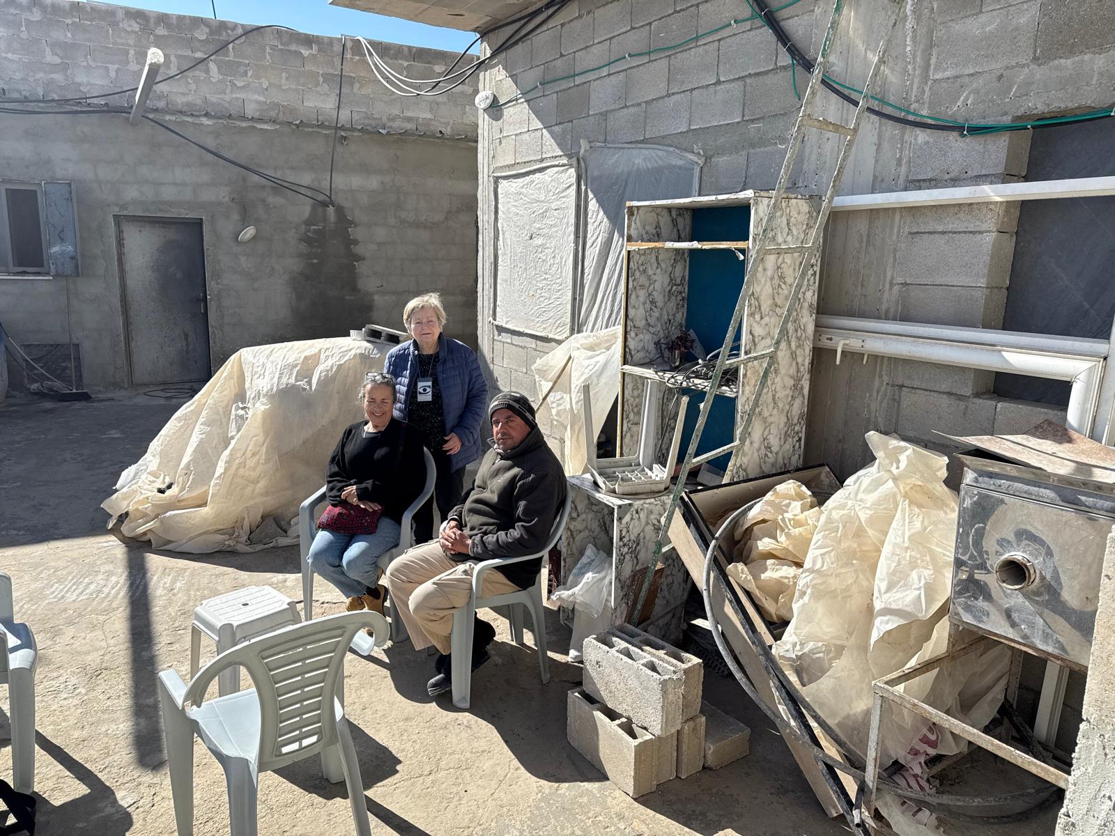 Muhammad D.Jan-4-2026At the Nassar family in Wadi Ras al-Jerfan
-