Jaba (Lil), Qalandiya
We arrived at Qalandiya a little after 4 PM after 20 minutes of nerve-racking navigation through the horrible traffic jam in the southern square. The CP was operating as usual, with a weak but steady stream of people coming to enter Jerusalem from Ramallah. Two passageways were active almost all the time we were at the CP, and when the line in Passageway 1 grew long the soldier on duty at the CP entrance in the northern shed would announce that Passageway 4 was open as well. The lines were as long as 10 people in each passageway but they moved along fairly swiftly.
Closure of the northern parking lot (which has been blocked off since Ramadan) seems to us to be exacerbating traffic problems in the vicinity of the CP. Vehicles are parked everywhere including on traffic islands and roundabouts, narrowing lanes and impeding the flow of traffic. Long lines of cars extend in all directions – in the approaches to Qalandiya from Ramallah and A-Ram as well as cars traveling from Route 60 to Ramallah that have no intention of going to Qalandiya but have no choice other than to join the jam and crawl on to their destination (there being no alternative road). Sometimes the authorities relieve the traffic pressure in the southern square by opening the “Great Gate” in the Wall allowing direct entry to A-Ram. It’s unfortunate that this policy is not followed more frequently. The traffic problems in the area north of the CP will require a more radical solution.
On our way back to Jerusalem we saw that soldiers were once again posted at the Lil/Jabba CP (where we haven’t seen them for months). But they were not interfering with the traffic which was flowing freely.
Jaba' (Lil)
See all reports for this place-
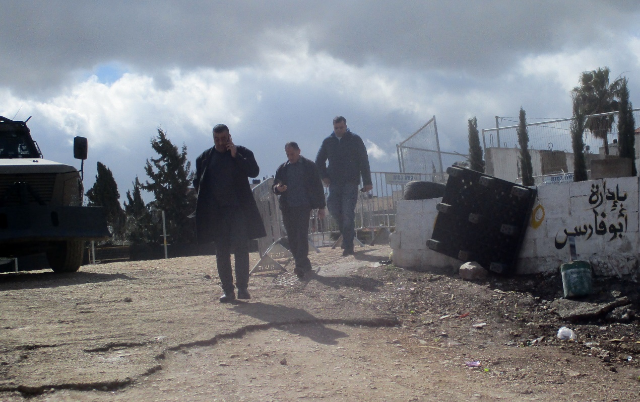
Jaba' (Lil) In fact, the Jaba checkpoint is east of the Qalandiya checkpoint. Its declared purpose is the prevention of Israeli citizens from entering Area A. A road checkpoint for vehicles, located on Road 65, borders the southern fence of Kfar Jaba, about three kilometers east of the Qalandiya checkpoint, on the road leading to the settlement of Adam on Road 60. Archaeological excavations within the village found the remains of a cloth house from the First Temple period. The events that led to the construction of the checkpoint are precisely here: on the day of the abduction of Gilad Shalit and before the outbreak of the Second Lebanon War, a 17-year-old man from one of the settlements was abducted by a Palestinian cell. His body was found several days later at the entrances to Ramallah. A military investigation revealed that his abductors had taken him along this route. The checkpoint was set up to prevent future kidnappings and to warn settlers from traveling to Ramallah and entering Area A (which is forbidden for Israelis). The checkpoint that operates around the clock. Usually only vehicles traveling in the direction of Ramallah are inspected. (November 2016): Every morning, when the settlers en masse travel to Jerusalem on Route 60 and every afternoon they return from Jerusalem on Route 60, the army initiates a traffic jam at the entrance to the Jaba checkpoint and stops the movement of Palestinians traveling toward Route 60. (February 2020): In the last two years the checkpoint has not always been manned. Sometimes the soldiers come and just stand, sometimes they come and stop and check those who enter the village, sometimes they patrol the alleys of the village, sometimes they fire stun grenades and gas and sometimes they invade houses and stop young people, say those passing through the Hazma checkpoint. (Updated February 2020)
-
Qalandiya Checkpoint / Atarot Pass (Jerusalem)
See all reports for this place-
Click here to watch a video from Qalandiya checkpoint up to mid 2019 Three kilometers south of Ramallah, in the heart of Palestinian population. Integrates into "Jerusalem Envelope" as part of Wall that separates between northern suburbs that were annexed to Jerusalem in 1967: Kafr Aqab, Semiramis and Qalandiya, and the villages of Ar-Ram and Bir Nabala, also north of Jerusalem, and the city itself. Some residents of Kafr Aqab, Semiramis and Qalandiya have Jerusalem ID cards. A terminal operated by Israel Police has functioned since early 2006. As of August 2006, northbound pedestrians are not checked. Southbound Palestinians must carry Jerusalem IDs; holders of Palestinian Authority IDs cannot pass without special permits. Vehicular traffic from Ramallah to other West Bank areas runs to the north of Qalandiya. In February 2019, the new facility of the checkpoint was inaugurated aiming to make it like a "border crossing". The bars and barbed wire fences were replaced with walls of perforated metal panels. The check is now performed at multiple stations for face recognition and the transfer of an e-card. The rate of passage has improved and its density has generally decreased, but lack of manpower and malfunctions cause periods of stress. The development and paving of the roads has not yet been completed, the traffic of cars and pedestrians is dangerous, and t the entire vicinity of the checkpoint is filthy. In 2020 a huge pedestrian bridge was built over the vehicle crossing with severe mobility restrictions (steep stairs, long and winding route). The pedestrian access from public transport to the checkpoint from the north (Ramallah direction) is unclear, and there have been cases of people, especially people with disabilities, who accidentally reached the vehicle crossing and were shot by the soldiers at the checkpoint. In the summer of 2021, work began on a new, sunken entrance road from Qalandiya that will lead directly to Road 443 towards Jerusalem and Tel Aviv. At the same time, the runways of the old Atarot airport were demolished and infrastructure was prepared for a large bus terminal. (updated October 2021)
 Tamar FleishmanFeb-27-2026Qalandiya: On the way to prayer
-