Sheikh Subah
The fenced outpost of “Shaharit” Farm has been established on land belonging to Kufr al-Dik and Bidiya where maqam Sheikh Subah was once located. Within the fenced area, which has been designated state land, settlers planted grape vines in place of the Palestinians’ olive trees.
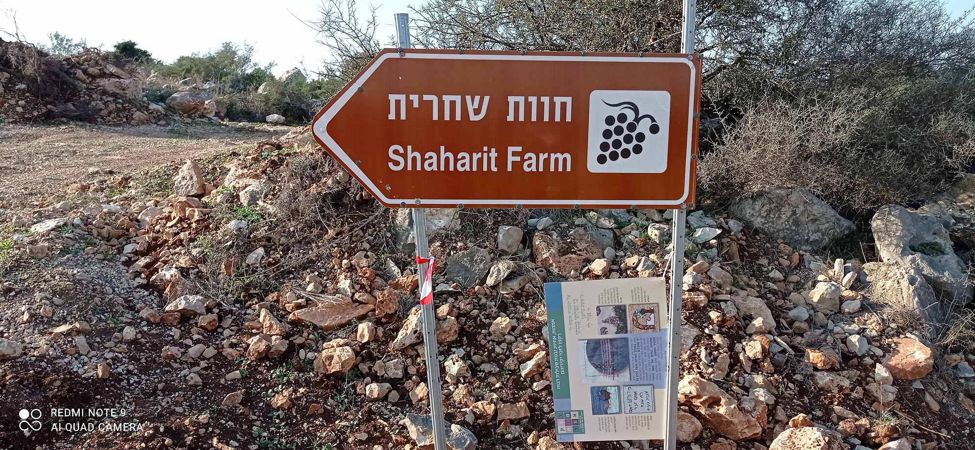
Maqam Sheikh Subah had been visible from afar: huge boulders, a pole with a camera in their midst. There are also cameras on the rocks along the road to the outpost.

Now, according to Dror Etkes from Kerem Navot, the government is rapidly acting to designate as state land an additional large area. Turning the outpost into a settlement is only a matter of time.
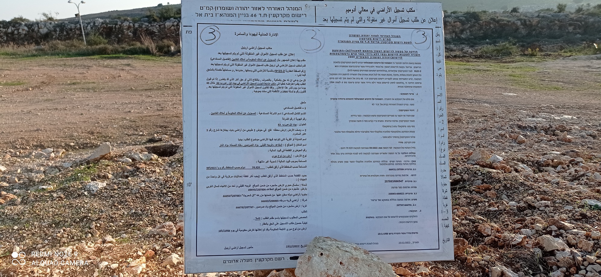
According to an inquiry Issa Suf, from Hares, conducted at the Waqf’s offices in Salfit, Maqam Sheikh Subah doesn’t appear on their lists. So our options are limited. We disappointed Yussuf, from Bidiya, who brought us to the location and told us what his father had told him about his childhood memories of Sheikh Subah

The growing settlement of Alei Zahav is clearly visible on the other side of the road.

Bidiya
See all reports for this place-
Bidiya
A town in the Salfit district, north of Highway 5, with about 10,000 residents. From 1967 until the paving of the Trans-Samaria Highway, which bypasses the village, and the construction of the separation barrier, many Israelis used to shop in the village and commerce flourished. The settlements of Barkan and Kiryat Netafim were built on lands expropriated from Bidia. 85% of Bidiya's lands are in Area C, and building on them is denied. Part of these land has been declared state land.
-
Kufr a-Dik
See all reports for this place-
Kufr a-Dik This is a Palestinian village in the Salfit district of the West Bank, located 8 kilometers east of the Green Line. The village population numbers 4,494 (as of 2007). 14.5% of the village were included in Area B (supposedly under Palestinian civil control) and 86% categorized as Area C – meaning both civil and military Israeli control, which severely affects the state of the village and its inhabitants. Over the years Israel has robbed 1,448 dunams from the village’s farmlands for the sake of building the settler-colonies of Penuel, Alei Zahav, Yoezer, Har Alei Zahav, and the industrial zone next to Penuel. Lands were also sequestered for the paving of Road 446 whose length stretches over 4 kilometers and includes a buffer zone 75-meters wide on both its sides. Following the paving of the road, the village has suffered not only landgrab but home demolitions and the destruction of water wells as well. Rates of unemployment in both the private and the public sectors reach 60%. In the years 2010-2013 creative activity was held by members of MachsomWatch and women of the village. For further information: http://vprofile.arij.org/salfit/pdfs/vprofile/Kafr%20ad%20Dik_tp_en.pdf
-