
South Hebron Hills: The main entrances are locked and the side entrances are blocked by confiscated Palestinian cars.
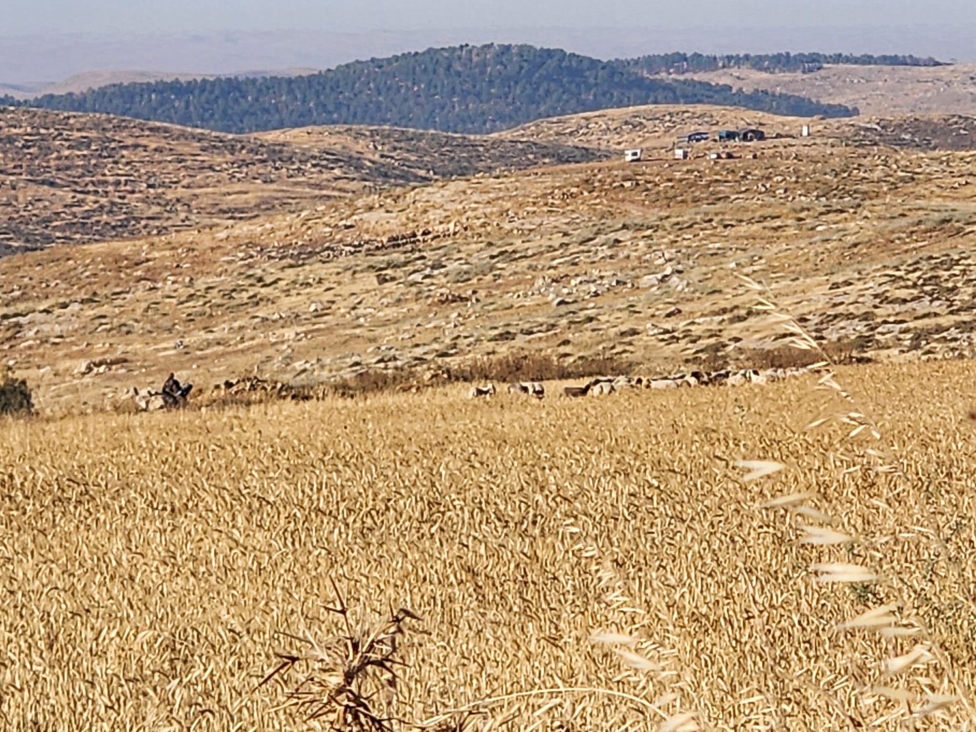
We drive along Road 60. It is surrounded by areas that are already yellow and dry, even the wheat fields many of which are already taken over by colonists. This colonist takeover of land adds to the Palestinians’ economic hardships since they cannot reach the straw on the ground, the animals’ main source of food now. Colonists forbid them to go out and graze with their flocks.
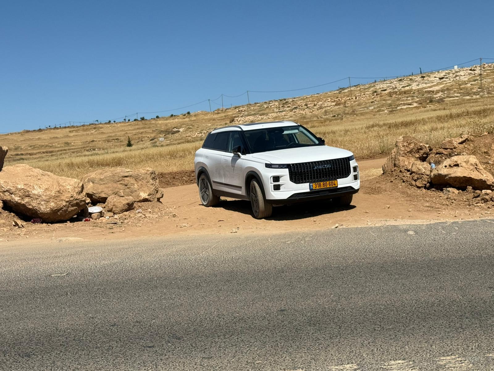
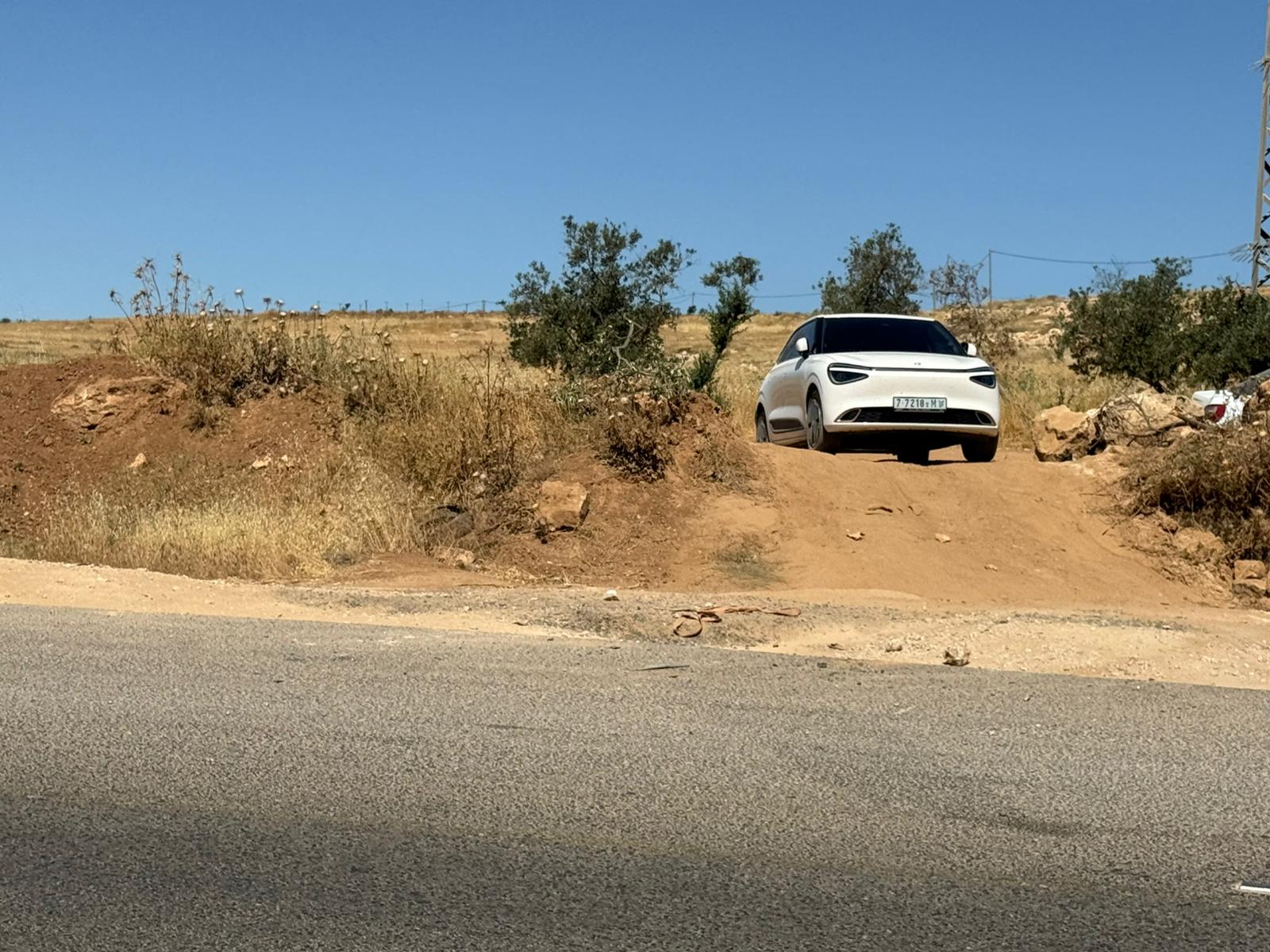
All along the road there are dirt entrances that enable people to reach the nearby cities when the main entrances are often closed. But there are means to block traffic even through the dirt entrances: soldiers stop a car passing through such an entrance, take away its key and tell its owner to return in 6 or 7 or 8 hours! In the meantime, the car is stopped and blocks any incoming or outgoing one.
Our shift: the main entrance to Samu’ is closed with a checkpoint, and there are no soldiers there who could open or close it even in an emergency. The dirt track running parallel to the main road to Samu’ is blocked by a vehicle and forces anyone wishing to take it to find another track. All these roundabouts are a waste of much time, gas, and add to the harassment of Palestinians.
Two dirt entrances to Simiya are also blocked by cars (one with an Israeli license plate belonging to a teacher working in Israel, and one with a Palestinian license plate).
Our goal was to visit F. from Simiya, but there was no way to enter the village. We continued driving along Road 60 and later, opposite Atni’el, we saw another blocked car on the bypass dirt track.
At Dhahariya the front entrance was closed and the nearby dirt track was blocked with a dirt pile.
Abda – a closed entrance.
Al-Fawwar junction – the entrance to Dura is open, the one into Al Fawwar – closed. We tried driving back to Simiya but the cars were still there, blocking the entrances. We entered somehow, by a potholed track, and reached F.
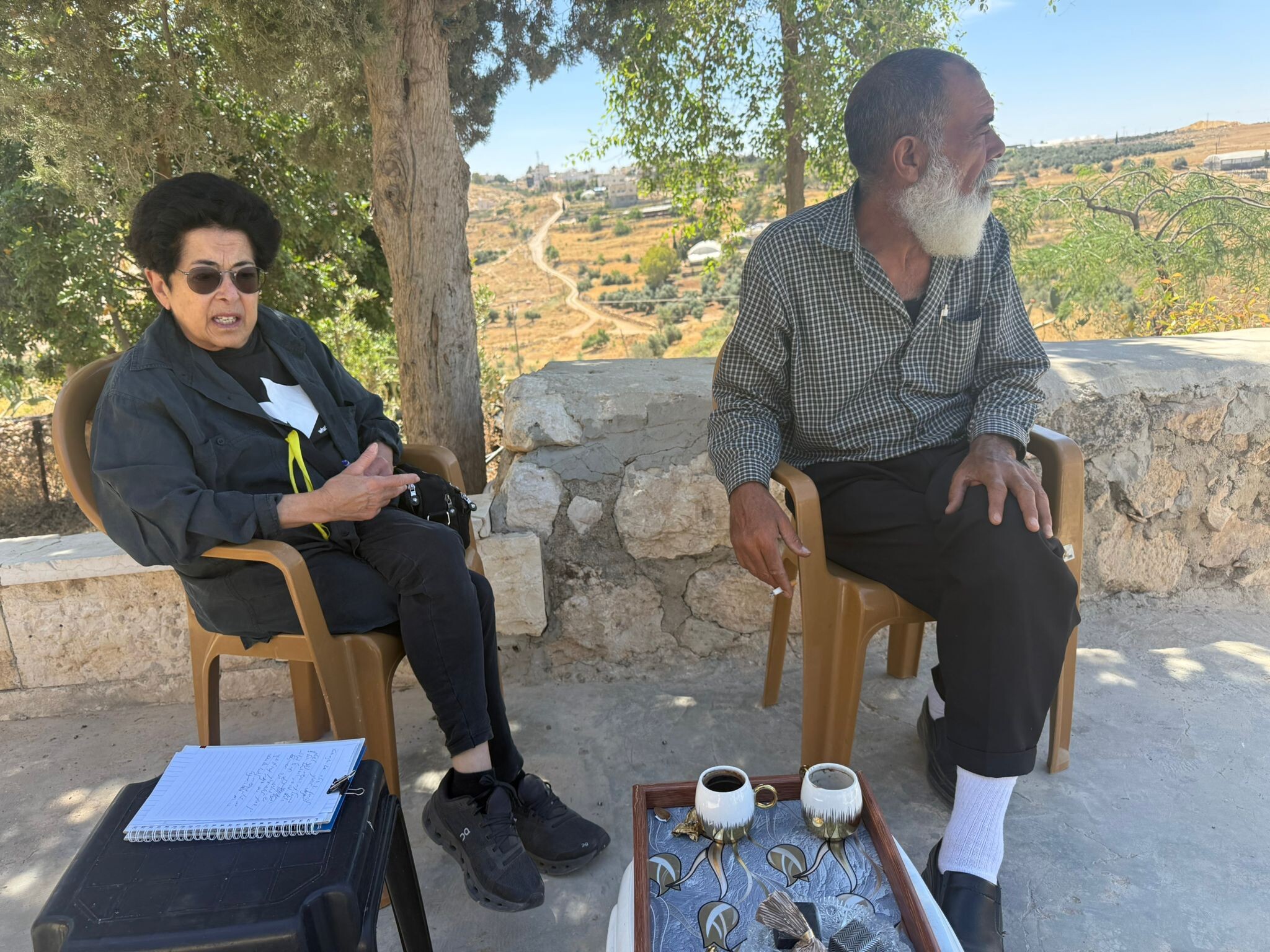
We brought F. food, as their situation is dire: no work, hardly any income. Near the entrance to Samu’ he owns 20 dunams of wheat. An armed colonist from a relatively new outpost (opposite a Mekorot water reservoir, between Samu’ and Eshtamo’a) has already entered this area with his cattle, that has eaten the wheat and ruined everything.
They no longer complain to the army or police since the policemen are always in favor of the colonists.
Several days ago, they were notified that Road 60 is to be widened, nearly reaching F.’s house, that the house next to his will be demolished with the gas station and many other fields and owners, all along the expanded road.
They have two months to appeal or reach a settlement and reparations.
On our way back, the entrance to Samu’ has been opened.
Location Description
Dura Al-Fawwar Junction
See all reports for this place-
Junction on Route 60: west - the town of El Dura, east - the Al Fawwar refugee camp. There is a manned pillbox at the junction. From time to time the army sets up flying checkpoints at the entrance to El Fawwar and Al Dura. Al-Fawwar is a large refugee camp (7,000 inhabitants in 2007) established in 1949 to accommodate Palestinian refugees from Be'er Sheva and Beit Jubrin and environs. There are many incidents of stone-throwing. In the vicinity of the pillbox there are excellent agricultural areas, Farmers set up stalls adjacent to the plots close to the road. In recent months the civil administration has set up dirt embankments thereby blocking access to the stalls, and making it impossible for the farmers to sell their vegetables. Updated April 2021, Michal T.
-
South Hebron Hills
See all reports for this place-
South Hebron Hills
South Hebron Hills is a large area in the West Bank's southern part.
Yatta is a major city in this area: right in the border zone between the fertile region of Hebron and its surroundings and the desert of the Hebron Hills. Yatta has about 64,000 inhabitants.
The surrounding villages are called Masafer Yatta (Yatta's daughter villages). Their inhabitants subsist on livestock and agriculture. Agriculture is possible only in small plots, especially near streams. Most of the area consists of rocky terraces.Since the beginning of the 1980s, many settlements have been established on the agricultural land cultivated by the Palestinians in the South Hebron Hills region: Carmel, Maon, Susia, Masadot Yehuda, Othniel, and more. Since the settlements were established and Palestinians cultivation areas have been reduced; the residents of the South Hebron Hills have been suffering from harassment by the settlers. Attempts to evict and demolish houses have continued, along with withholding water and electricity. The military and police usually refrain from intervening in violent incidents between settlers and Palestinians do not enforce the law when it comes to the investigation of extensive violent Jewish settlers. The harassment in the South Hebron Hills includes attacking and attempting to burn residential tents, harassing dogs, harming herds, and preventing access to pastures.
There are several checkpoints in the South Hebron Hills, on Routes 317 and 60. In most of them, no military presence is apparent, but rather an array of pillboxes monitor the villages. Roadblocks are frequently set up according to the settlers and the army's needs. These are located at the Zif Junction, the Dura-al Fawwar crossing, and the Sheep Junction at the southern entrance to Hebron.
Updated April 2022
 Muhammad D.Jul-13-2026Michal with O.
-