
‘Anabta, Ar-Ras, Azzun, Qalqiliya, Mon 5.5.08, Morning
06.30 Eliyahu transit point
There are about 12 cars and approx. 50 Palestinians in line waiting to go through into Israel.
Qalqilya
06.40 There are no lines on entry and about 8 vehicles exiting. Random checks and no apparent holdups. The soldiers manning the checkpost are friendly.
06.50 Izbet Tabib. We see cars and a bus exiting by the garage. We do not check to see if the roadblock had been removed.
07.00 Azzun.
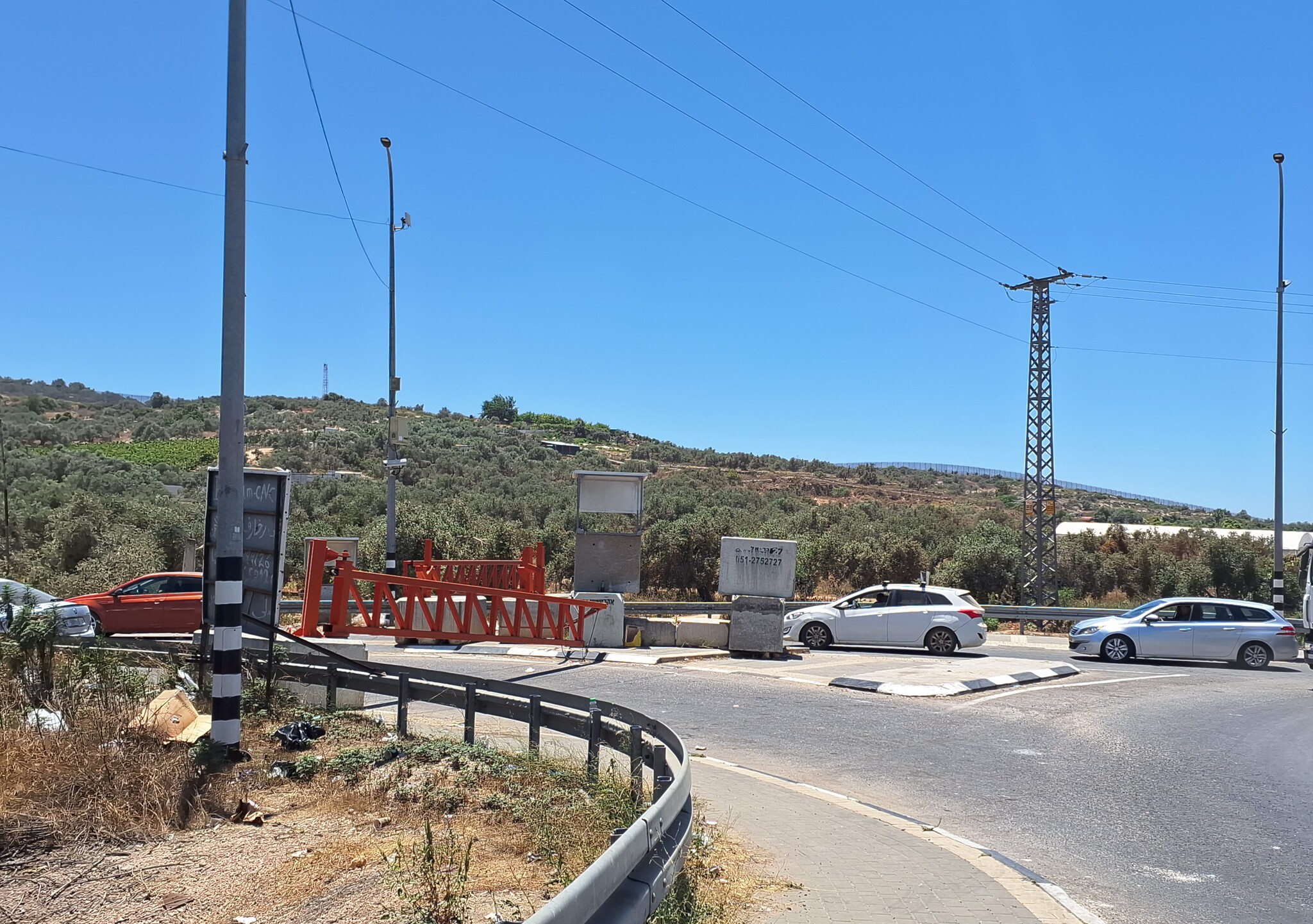
The exit is still blocked. No army presence visible but quite a few Palestinians waiting around.
On the way to Jit and at various other places we see signs "Jewish Atzmaut at Homesh".
10.00 Anabta
There are no cars in line but 3 surveyors are taking measurements accompanied by soldiers. It seems they are going to "widen the road" on account of the field at the side which is full of thorns (hopefully not at the expense of the olive grove at the other side). There are random checks but no lines and we leave about 15 minutes later with 10 vehicles waiting but being cleared rapidly.
10.30 Ar Ras – Shaar Haprachim
At first the soldiers refuse us entry but after a check with base, let us go through. A bus stands by the checkpost, apparently transportation for 2 girl soldiers (a whole bus ???)
We offer a lift to an elderly Palestinian walking with a stick and toting heavy bags. The soldiers refused to let the taxi he was riding in continue to Shaar Ha prachim and insisted that he get out.
'Anabta CP
See all reports for this place-
'Anabta CP
The checkpoint is located south of the village of 'Anabta, at the intersection of Road 60 (leading to Nablus at the entrance to Area A), with Road (57, 557, 5576) facing west towards the Einav settlement and the checkpoint at the exit from the West Bank - Figs checkpoint. Until 2010 we used to watch the intersection and report the long columns created due to a slow inspection of the vehicles in both directions. Oct-28-2011Anabta checkpoint 24.10.11
-
'Azzun
See all reports for this place-
Azoun (updated February 2019)
A Palestinian town situated in Area B (under civil Palestinian control and Israeli security control),
on road 5 between Nablus and Qalqiliya, east of Nabi Elias village. The inhabitants are allowed to construct and improve infrastructures. The Separation Fence has confiscated lands belonging to the town's people. In 2018 olive tree groves owned by one of its inhabitants were confiscated for the sake of paving a road to bypass Nabi Elias. Azoun population numbers 13,000, its economic state dire. Its infrastructures are poor, neglect and poverty rampant. In the meantime, the town council has completed paving an internal road for the inhabitants' welfare.
Because of its proximity to the Jewish settler-colony of Karnei Shomron and its outposts, the town suffers the intense presence of the Israeli army, especially at nighttime: soldiers enter homes, arrest suspects, trash the house and sometimes ruin it, as they do in numerous places in the West Bank. At times a checkpoint closes the entrance to the town, so no one can come in or get out.
-
A-Ras (The Children Checkpoint)
See all reports for this place-
A-Ras (The Children Checkpoint)
On Tulkarm-Qalqiliya road (574), east of Hirbet Jubara. tia checkpoint is dedicated to residents traveling to and from Tulkarm, so they should not cross apartheid road 557 (only permissible for settlers).
-
Qalqiliya checkpoint
See all reports for this place-
Qalqilya is surrounded on all sides by the separation barrier. The only exit from the city is in the east of the city on the road that leaves the city in an easterly direction. This is where the checkpoint was located. When the checkpoint was active until 2009 our shifts watched long queues of cars being inspected at the only exit from the city to the West Bank. The checkpoint was canceled, but there is a military presence at the entrance to the city.
 Ronit Dahan-RamatiJun-18-2026Nabi Elyas. The western entrance is closed
-