
‘Anabta, Ar-Ras, Azzun, Qalqiliya, Thu 10.7.08, Morning
7:20 Qalqiliya
No pedestrians and 7 cars waiting about 9 minutes. IDs of those exiting are checked. When the line lengthened the commander said that it was because of the careful checking of Israeli cars leaving the town.
A cart with three passengers passed without being checked.
Azzun on road 55 was open.
9:30 Anabta
(After a visit to Beit Iba) . 14 cars waiting about 4 minutes. When the line lengthened the soldiers did not check IDs of the passengers.
At Ar-Ras were few people passing and IDs were not checked
'Anabta CP
See all reports for this place-
'Anabta CP
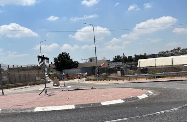
The checkpoint is located south of the village of 'Anabta, at the intersection of Road 60 (leading to Nablus at the entrance to Area A), with Road (57, 557, 5576) facing west towards the Einav settlement and the checkpoint at the exit from the West Bank - Figs checkpoint. Until 2010 we used to watch the intersection and report the long columns created due to a slow inspection of the vehicles in both directions. Oct-28-2011Anabta checkpoint 24.10.11
-
'Azzun
See all reports for this place-
Azoun (updated February 2019)
A Palestinian town situated in Area B (under civil Palestinian control and Israeli security control),
on road 5 between Nablus and Qalqiliya, east of Nabi Elias village. The inhabitants are allowed to construct and improve infrastructures. The Separation Fence has confiscated lands belonging to the town's people. In 2018 olive tree groves owned by one of its inhabitants were confiscated for the sake of paving a road to bypass Nabi Elias. Azoun population numbers 13,000, its economic state dire. Its infrastructures are poor, neglect and poverty rampant. In the meantime, the town council has completed paving an internal road for the inhabitants' welfare.
Because of its proximity to the Jewish settler-colony of Karnei Shomron and its outposts, the town suffers the intense presence of the Israeli army, especially at nighttime: soldiers enter homes, arrest suspects, trash the house and sometimes ruin it, as they do in numerous places in the West Bank. At times a checkpoint closes the entrance to the town, so no one can come in or get out.
-
A-Ras (The Children Checkpoint)
See all reports for this place-
A-Ras (The Children Checkpoint)
On Tulkarm-Qalqiliya road (574), east of Hirbet Jubara. tia checkpoint is dedicated to residents traveling to and from Tulkarm, so they should not cross apartheid road 557 (only permissible for settlers).
-
Qalqiliya checkpoint
See all reports for this place-
Qalqilya is surrounded on all sides by the separation barrier. The only exit from the city is in the east of the city on the road that leaves the city in an easterly direction. This is where the checkpoint was located. When the checkpoint was active until 2009 our shifts watched long queues of cars being inspected at the only exit from the city to the West Bank. The checkpoint was canceled, but there is a military presence at the entrance to the city.
 Nina SebaAug-18-2025Azzun: Enclosed by a high fence and the gate to the village is closed
-