
‘Anabta, ‘Azzun ‘Atma, Ar-Ras, Beit Iba, Jubara (Kafriat), Qalqiliya, Silwan, Tue 28.10.08, Morning
(Rain)
07:40 The Jub’ara road is closed. It’s opened after inspection of our documents and the Machsom Watch ID tag, and after we go through the soldier radios ahead for them to be ready.
07:53 Palestinians detained at the checkpoint for inspection. When we asked why, the answer was that because of alerts on Monday, October 27, Palestinians aren’t allowed through.
A-Ras checkpoint is quiet.
When we leave Jab’ara, the soldier at the roadblock informs us that Hamdan can’t come in – we notified Elisheva.
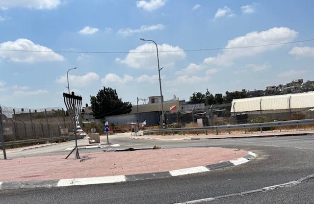
08:00 Anabta – Grafitti “Arabs are whores.”
A sign on the way to Beit Iba: “Death to Arabs.”
08:10 Beit Iba – Quiet, calm, smiling soldiers – their last day at the checkpoint – they’re glad to leave.
(The weather clears)
09:30 We leave. A high dirt roadblock at 'Azzun 'Atma.
Qalqilya checkpoint – Quiet. Almost no one going through.
The frustrating, irritating routine.
'Anabta CP
See all reports for this place-
'Anabta CP
The checkpoint is located south of the village of 'Anabta, at the intersection of Road 60 (leading to Nablus at the entrance to Area A), with Road (57, 557, 5576) facing west towards the Einav settlement and the checkpoint at the exit from the West Bank - Figs checkpoint. Until 2010 we used to watch the intersection and report the long columns created due to a slow inspection of the vehicles in both directions. Oct-28-2011Anabta checkpoint 24.10.11
-
'Azzun 'Atma
See all reports for this place-
'Azzun 'Atma
A Palestinian village of about 1,800 residents. The settlement of Sha'arei Tikva was established on its land adjacent to it, and the settlement of Oranit was established on its agricultural lands. By 2013, the separation fence had passed through the village and a checkpoint staffed by the army allowed the residents to cross from side to side. After building a massive wall surrounding the village and some of its agricultural lands, the residents went daily for five years to their lands that remained in the Seam Zone through the Oranit agricultural checkpoint (4). Since 2018 it has only opened during the olive harvest and the farmers have to pass daily at the Beit Amin / Abu Salman checkpoint (1447), about 3 kilometers north.From a report from March 24, 2021: "The farmers from Beit Amin and Azon Atma are happy that since February 21 the Oranit checkpoint .is going to be open 3 times a day, The farmers are really developing the place."
Report from July 14, 2024: "Ornit checkpoint is closed . The Beit Amin/Abu Salman agricultural checkpoint is closed (there is no contact with the military to check if it opens rarely), the Ezbat Jaloud checkpoint was opened once a day before the war.
Updated for July 2024
 Apr-11-2019Azoun: The main entrance to village blocked now for several weeks
-
A-Ras (The Children Checkpoint)
See all reports for this place-
A-Ras (The Children Checkpoint)
On Tulkarm-Qalqiliya road (574), east of Hirbet Jubara. tia checkpoint is dedicated to residents traveling to and from Tulkarm, so they should not cross apartheid road 557 (only permissible for settlers).
-
Beit Iba
See all reports for this place-
A perimeter checkpoint west of the city of Nablus. Operated from 2001 to 2009 as one of the four permanent checkpoints closing on Nablus: Beit Furik and Awarta to the east and Hawara to the south. A pedestrian-only checkpoint, where MachsomWatch volunteers were present daily for several hours in the morning and afternoon to document the thousands of Palestinians waiting for hours in long queues with no shelter in the heat or rain, to leave the district city for anywhere else in the West Bank. From March 2009, as part of the easing of the Palestinian movement in the West Bank, it was abolished, without a trace, and without any adverse change in the security situation.
 Jun-4-2014Beit-Iba checkpoint 22.04.04
-
Jubara (Kafriat)
See all reports for this place-
The Jabra checkpoint was on Road 557, south of Tulkarm, on the side of the Figs Pass, which is located within the Palestinian Authority (a few kilometers east of the Green Line), and serves as an entry barrier from the territories to Israel. The checkpoint to the village of Jubara, which until 2013 was in the seam area, blocked and surrounded by a fence, was intended for the passage of the family members of the house next to the checkpoint, and also for the MachsomWatch volunteers (with special permission only), on their way to checkpoint 753. on the other side of the village. The soldiers supervising the "fig crossing" also supervised the crossing at this checkpoint, in our shifts we often waited a long time until the key was found and the gate opened. The checkpoint was abolished and became part of the separation fence that was moved west following the High Court.
-
Qalqiliya checkpoint
See all reports for this place-
Qalqilya is surrounded on all sides by the separation barrier. The only exit from the city is in the east of the city on the road that leaves the city in an easterly direction. This is where the checkpoint was located. When the checkpoint was active until 2009 our shifts watched long queues of cars being inspected at the only exit from the city to the West Bank. The checkpoint was canceled, but there is a military presence at the entrance to the city.
 Nina SebaAug-18-2025Azzun: Enclosed by a high fence and the gate to the village is closed
-
Silwan
See all reports for this place-
Silwan is south of the Old City of Jerusalem and has become one of the main confrontation areas with settlers.
-