
‘Anata, Ar-Ras, Jubara (Kafriat), Qalqiliya, Mon 16.2.09, Morning
Eliyahu Passage
05:50 – Not many cars are here at this
early hour. The workers pass.
Anabta
07:55 – Free entering and leaving.
A dog trainer who has just arrived gets organized with her dog at the
exit checkpoint. While we are there no car is checked.
We notice a new fence of barbed wire
coils laid in an olive grove opposite the checkpoint. The fence stretches
uphill toward the settlement of Einav.
The Figs Passage
08:30 – The gate is opened without
any problem. At the Schoolchildren's Gate (753) there are still soldiers
and also 3 detainees whose documents are being checked.
Ar-Ras
08:40 – Free passage.
We go on through Ar-Ras toward Azzun
via the villages Ar-Ras, Kafr Sur, Kafr Jammal and Jaiyus. The way is
beautiful and there is no military presence.
We leave Azzun and go to Qalqiliya.
Qalqiliya
09:30 – We never get to Qalqiliya at
this hour.
The parking lot is full of Israeli cars
and Palestinian taxis. Israeli citizens are allowed to enter Qalqiliya
without their vehicles (save for those who have a special permit and
their vehicle number is on a list). The taxi drivers complain they can
scarcely make a living because people have no money…
In both directions there are no lines
although the soldiers stop most of the cars and ask the drivers where
from and where to they travel.
Some drivers complain that yesterday
(i.e. Sunday) there were very long lines all afternoon and until the
evening and ask why we weren't there to help…
We leave through Eliyahu Passage, where
we are asked politely to open the trunk for a check.
A-Ras (The Children Checkpoint)
See all reports for this place-
A-Ras (The Children Checkpoint)
On Tulkarm-Qalqiliya road (574), east of Hirbet Jubara. tia checkpoint is dedicated to residents traveling to and from Tulkarm, so they should not cross apartheid road 557 (only permissible for settlers).
-
Checkpoint Shu'afat camp / Anata-Shu'afat (Jerusalem)
See all reports for this place-
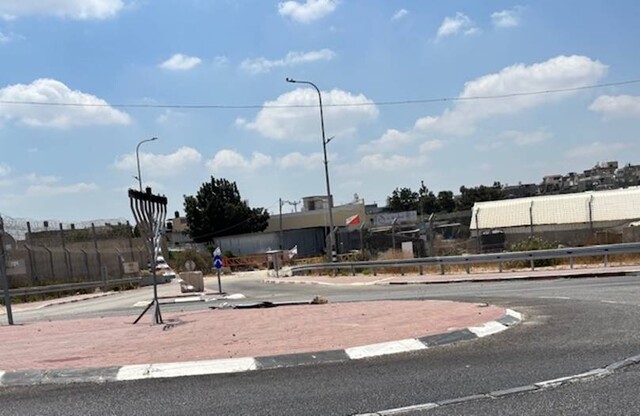
The Shu’afat checkpoint is located in the northern part of East Jerusalem at the exit from the village of Anata and the Shu’afat refugee camp, which are located in the area annexed to Jerusalem in 1967. The refugee camp borders the Shu’afat neighborhood to the west, Pisgat Ze’ev to the north, the French Hill neighborhood to the south and the planned expansion of Ma’aleh Adumim to E-1 in the east. It was established in 1966 for 1948 refugees from the West Bank and was populated after the Six Day War by persons who had been expelled from the Jewish Quarter. Today its population comprises some 25,000 people holding blue ID cards and some 15,000 people with Palestinian ID cards. The camp lacks adequate infrastructure and services, and suffers from poverty, neglect and overcrowding. All its buildings are connected to the public electricity and water infrastructure, but not all are connected to the sewer system. The camp’s services are provided by UNRWA, except for those such as health clinics and transportation of pupils to schools in Jerusalem. In 2005, the Israeli High Court of Justice rejected a suit by the residents requesting that the route of the separation fence be drawn such that the camp would remain on the Israeli side, but conditioned its approval of the route on the establishment of a convenient and rapid crossing facility for the inhabitants of the neighborhood, most of whom are residents of Jerusalem.
A temporary checkpoint operated there until December, 2011. It was extremely congested during rush hours, and dangerous for pedestrians (especially children) because of inadequate safety provisions. The new checkpoint was inaugurated south of the old one, for public and private transportation and for pedestrians, intended solely for the residents of the camp – holders of blue ID cards, and those with Palestinian ID cards who possess appropriate permits. There are five vehicle inspection stations at the checkpoint, and two for pedestrians (one of which is currently closed) where scanners have been installed but are not yet operating. According to the army, representatives of government agencies will also be present to provide services to residents of the neighbourhood. The pedestrian lanes are very long, located far from the small parking lots, and accessible through only a single revolving gate. Anat TuegJan-25-2026Anata: A new outpost has been built south of the junction
-
Jubara (Kafriat)
See all reports for this place-
The Jabra checkpoint was on Road 557, south of Tulkarm, on the side of the Figs Pass, which is located within the Palestinian Authority (a few kilometers east of the Green Line), and serves as an entry barrier from the territories to Israel. The checkpoint to the village of Jubara, which until 2013 was in the seam area, blocked and surrounded by a fence, was intended for the passage of the family members of the house next to the checkpoint, and also for the MachsomWatch volunteers (with special permission only), on their way to checkpoint 753. on the other side of the village. The soldiers supervising the "fig crossing" also supervised the crossing at this checkpoint, in our shifts we often waited a long time until the key was found and the gate opened. The checkpoint was abolished and became part of the separation fence that was moved west following the High Court.
-
Qalqiliya checkpoint
See all reports for this place-
Qalqilya is surrounded on all sides by the separation barrier. The only exit from the city is in the east of the city on the road that leaves the city in an easterly direction. This is where the checkpoint was located. When the checkpoint was active until 2009 our shifts watched long queues of cars being inspected at the only exit from the city to the West Bank. The checkpoint was canceled, but there is a military presence at the entrance to the city.
 Nina SebaAug-18-2025Azzun: Enclosed by a high fence and the gate to the village is closed
-