
‘Anata-Shu’afat, Abu Dis, Ras Abu Sbitan (Olive Terminal), Sheikh Saed, Tue 7.5.13, Morning
Abu Dis / Lazarus gate (formerly The Wicket)
See all reports for this place-
Abu Dis / Lazarus Checkpoint/Gate (east of the former “wicket”)
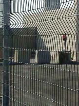
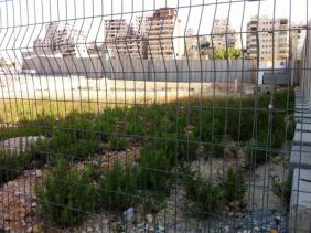
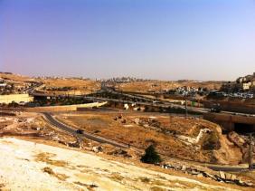
Construction of the wall in the Abu Dis area blocked all the gaps that allowed people to cross from al-Ezariya to the neighbourhoods of Abu Dis and Ras al 'Amud that are located within Jerusalem’s municipal boundary. The Lazarus checkpoint is a gate in the wall adjacent to the Lazarus Monastery. Until 2011 it had a door for pilgrims to al-Ezariya and for the monastery’s kindergarten pupils from al-Ezariya. The crossing is currently closed, but the site has infrastructure for conducting inspections.
-
Checkpoint Shu'afat camp / Anata-Shu'afat (Jerusalem)
See all reports for this place-
The Shu’afat checkpoint is located in the northern part of East Jerusalem at the exit from the village of Anata and the Shu’afat refugee camp, which are located in the area annexed to Jerusalem in 1967. The refugee camp borders the Shu’afat neighborhood to the west, Pisgat Ze’ev to the north, the French Hill neighborhood to the south and the planned expansion of Ma’aleh Adumim to E-1 in the east. It was established in 1966 for 1948 refugees from the West Bank and was populated after the Six Day War by persons who had been expelled from the Jewish Quarter. Today its population comprises some 25,000 people holding blue ID cards and some 15,000 people with Palestinian ID cards. The camp lacks adequate infrastructure and services, and suffers from poverty, neglect and overcrowding. All its buildings are connected to the public electricity and water infrastructure, but not all are connected to the sewer system. The camp’s services are provided by UNRWA, except for those such as health clinics and transportation of pupils to schools in Jerusalem. In 2005, the Israeli High Court of Justice rejected a suit by the residents requesting that the route of the separation fence be drawn such that the camp would remain on the Israeli side, but conditioned its approval of the route on the establishment of a convenient and rapid crossing facility for the inhabitants of the neighborhood, most of whom are residents of Jerusalem.
A temporary checkpoint operated there until December, 2011. It was extremely congested during rush hours, and dangerous for pedestrians (especially children) because of inadequate safety provisions. The new checkpoint was inaugurated south of the old one, for public and private transportation and for pedestrians, intended solely for the residents of the camp – holders of blue ID cards, and those with Palestinian ID cards who possess appropriate permits. There are five vehicle inspection stations at the checkpoint, and two for pedestrians (one of which is currently closed) where scanners have been installed but are not yet operating. According to the army, representatives of government agencies will also be present to provide services to residents of the neighbourhood. The pedestrian lanes are very long, located far from the small parking lots, and accessible through only a single revolving gate.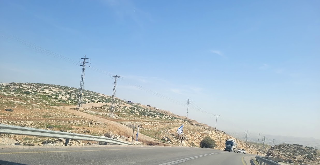 Anat TuegJan-25-2026Anata: A new outpost has been built south of the junction
-
Ras Abu Sbitan (Olive Terminal)
See all reports for this place-
A large checkpoint/crossing to the area of a-Tur, Abu Dis and the Old City; only for pedestrians. Located on Jerusalem’s municipal boundary.
One of the major crossings in Jerusalem’s central sector. It is located on the separation fence between the northern portion of the al-Ezariya neighborhood and the neighborhood of a-Tur and the rest of East Jerusalem. It is manned by Border Police soldiers and private security companies and operates 24 hours a day. Palestinians are forbidden to go through, other than permanent residents of East Jerusalem (holders of blue ID cards) and holders of work and commercial permits who are allowed through only on foot.
-
Sheikh Sa'ed
See all reports for this place-
A checkpoint limited to pedestrians, located on Jerusalem’s municipal boundary.
The checkpoint sits on the separation fence at the entrance to Sheikh Sa’ad, dividing it from its neighbourhood of Jabel Mukkabar. It’s manned by Border Police soldiers and private security companies and operates 24 hours a day. Palestinians are forbidden to go through, other than residents of Jabel Mukkabar or Sheikh Sa'ad who have permits. Both groups are permitted through only on foot. Residents of East Jerusalem who don’t live in Jabel Mukkabar are also allowed to cross to Sheikh Sa’ad, but not in the opposite direction; they must return through the Sawahira ash Sharqiya checkpoint.
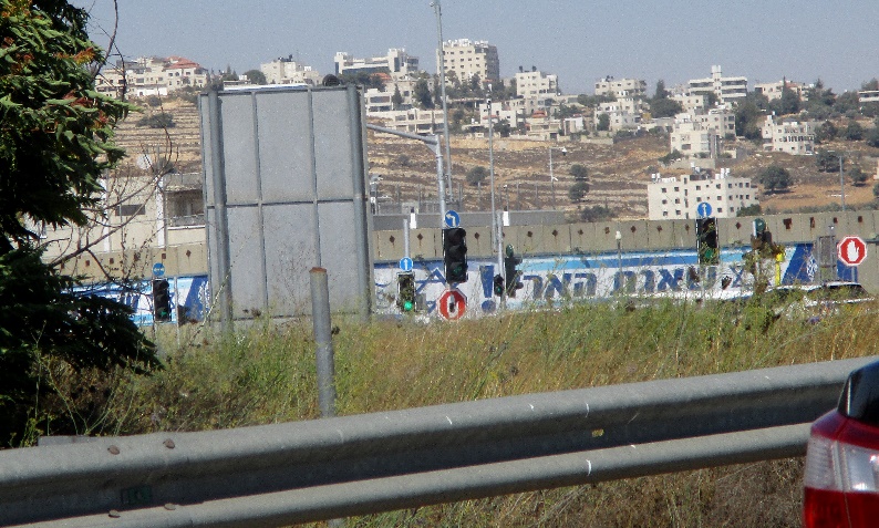 Tamar FleishmanOct-11-2026Ofer Prison. 'Roar of the Lion' Sign on Prison Walls
-
