
‘Anata-Shuafat, Qalandiya, Tue 3.1.12, Morning
Translator: Charles K.
Qalandiya – 5:45
A cold morning, no congestion. 200 people waiting on line outside for the three revolving gates. A short line also begins forming at the humanitarian gate. There’s also a short line within – fewer than ten people at each of the open lanes.
We meet the Norwegian ecumenical volunteer in the shed, accompanied by three observers including a representative of the British consulate in Jerusalem.
A short time later the fifth inspection lane opens.
Qalandiya – 6:15
375 people entered for inspection during the past half hour. There was never any congestion.
The humanitarian gate opened at 6:05, and continued opening and closing until there was no longer a line outside. People going through the humanitarian gate are sent to inspection lane number 5, while the others are sent to lanes 1-4.
Qalandiya – 6:45
360 people entered for inspection during the past half hour. There’s no longer a line outside.
We asked people whether schools are on vacation, or whether there’s some holiday. We didn’t get a clear answer, but it was evident that today there was very little demand for the checkpoint’s services.
Since there was no longer anyone under the canopy we decided to see what was happening at the new Anata checkpoint.
Anata – 7:15
The drive to Anata was easy, almost no cars on the road. Normally at this hour thousands of settlers and Palestinians drive south on Highway 60 in a slowly-moving traffic jam.
The changes in the landscape at Anata were obvious. The wall had been lengthened and crossed the old road. The previous checkpoint had stood in the middle of that road. The new checkpoint had been erected a short distance south of the old one. The residents had been promised that electronic inspections wouldn’t be conducted here, just those that had been carried out at the old checkpoint, and that’s what’s being done.
A parking lot had been created on the right, which was almost completely full of cars. We saw the vehicle checkpoint in front of us, with 3-4 inspection lanes. Only the two left-hand lanes were open. Minibuses crossed only through the leftmost lane. A soldier and a security person enter each minibus. The soldier checks the passengers’ documents. The crossing goes quickly;the passengers don’t get out of the vehicle and don’t have to be inspected at the pedestrian crossing.
A young officer approaches us to explain where the pedestrian crossings are located. Two fenced pedestrian lanes have been established in the northern area of the checkpoint – one for entry, the other for exit.
When we asked the officer about procedures for inspecting schoolchildren, he smiled broadly: “…The pupils are on vacation until Thursday. When they return, come see for yourselves…”
We crossed to the other side of the checkpoint through the fenced lane. We saw another parking area to our left. The vehicle lane wasn’t congested so we decided to return immediately to the Jerusalem side.
We entered the sole inspection lane. A scanner covered in plastic sheeting stands in a corner opposite the inspection window. There’s no electronic inspection of any kind. People show their ID’s and go through.
Checkpoint Shu'afat camp / Anata-Shu'afat (Jerusalem)
See all reports for this place-
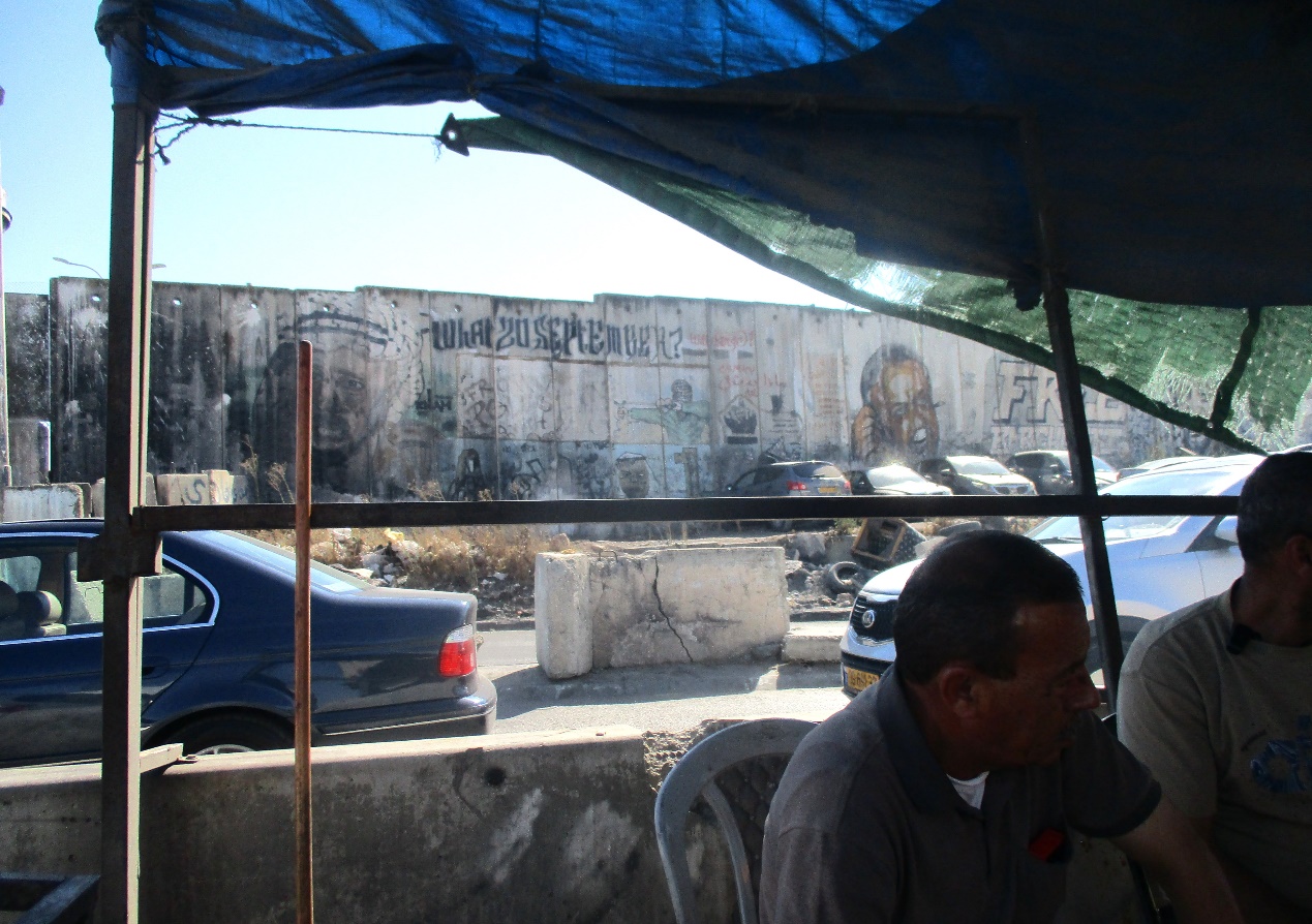
The Shu’afat checkpoint is located in the northern part of East Jerusalem at the exit from the village of Anata and the Shu’afat refugee camp, which are located in the area annexed to Jerusalem in 1967. The refugee camp borders the Shu’afat neighborhood to the west, Pisgat Ze’ev to the north, the French Hill neighborhood to the south and the planned expansion of Ma’aleh Adumim to E-1 in the east. It was established in 1966 for 1948 refugees from the West Bank and was populated after the Six Day War by persons who had been expelled from the Jewish Quarter. Today its population comprises some 25,000 people holding blue ID cards and some 15,000 people with Palestinian ID cards. The camp lacks adequate infrastructure and services, and suffers from poverty, neglect and overcrowding. All its buildings are connected to the public electricity and water infrastructure, but not all are connected to the sewer system. The camp’s services are provided by UNRWA, except for those such as health clinics and transportation of pupils to schools in Jerusalem. In 2005, the Israeli High Court of Justice rejected a suit by the residents requesting that the route of the separation fence be drawn such that the camp would remain on the Israeli side, but conditioned its approval of the route on the establishment of a convenient and rapid crossing facility for the inhabitants of the neighborhood, most of whom are residents of Jerusalem.
A temporary checkpoint operated there until December, 2011. It was extremely congested during rush hours, and dangerous for pedestrians (especially children) because of inadequate safety provisions. The new checkpoint was inaugurated south of the old one, for public and private transportation and for pedestrians, intended solely for the residents of the camp – holders of blue ID cards, and those with Palestinian ID cards who possess appropriate permits. There are five vehicle inspection stations at the checkpoint, and two for pedestrians (one of which is currently closed) where scanners have been installed but are not yet operating. According to the army, representatives of government agencies will also be present to provide services to residents of the neighbourhood. The pedestrian lanes are very long, located far from the small parking lots, and accessible through only a single revolving gate. Anat TuegJan-25-2026Anata: A new outpost has been built south of the junction
-
Qalandiya Checkpoint / Atarot Pass (Jerusalem)
See all reports for this place-
Click here to watch a video from Qalandiya checkpoint up to mid 2019 Three kilometers south of Ramallah, in the heart of Palestinian population. Integrates into "Jerusalem Envelope" as part of Wall that separates between northern suburbs that were annexed to Jerusalem in 1967: Kafr Aqab, Semiramis and Qalandiya, and the villages of Ar-Ram and Bir Nabala, also north of Jerusalem, and the city itself. Some residents of Kafr Aqab, Semiramis and Qalandiya have Jerusalem ID cards. A terminal operated by Israel Police has functioned since early 2006. As of August 2006, northbound pedestrians are not checked. Southbound Palestinians must carry Jerusalem IDs; holders of Palestinian Authority IDs cannot pass without special permits. Vehicular traffic from Ramallah to other West Bank areas runs to the north of Qalandiya. In February 2019, the new facility of the checkpoint was inaugurated aiming to make it like a "border crossing". The bars and barbed wire fences were replaced with walls of perforated metal panels. The check is now performed at multiple stations for face recognition and the transfer of an e-card. The rate of passage has improved and its density has generally decreased, but lack of manpower and malfunctions cause periods of stress. The development and paving of the roads has not yet been completed, the traffic of cars and pedestrians is dangerous, and t the entire vicinity of the checkpoint is filthy. In 2020 a huge pedestrian bridge was built over the vehicle crossing with severe mobility restrictions (steep stairs, long and winding route). The pedestrian access from public transport to the checkpoint from the north (Ramallah direction) is unclear, and there have been cases of people, especially people with disabilities, who accidentally reached the vehicle crossing and were shot by the soldiers at the checkpoint. In the summer of 2021, work began on a new, sunken entrance road from Qalandiya that will lead directly to Road 443 towards Jerusalem and Tel Aviv. At the same time, the runways of the old Atarot airport were demolished and infrastructure was prepared for a large bus terminal. (updated October 2021)
 Tamar FleishmanJul-21-2026Qalandiya. Conversation in the shadow of the wall
-
