
‘Azzun ‘Atma, Kifl Harith, Qira, Shomron Crossing, Wed 1.5.13, Morning
Activity with women
Translation: Yael Bassis-Student
9:15 We drove with Nadeem from the train station. Niza and I drove to the village of Keera. Dahlia, Suzy and Ruthie went with Dvorka to the village of A-Deek. An automobile accident caused traffic jams at Kafar Kassem.
9:55 We crossed the Samaria passage without inspection. Two military vehicles were parked by the side of the road opposite the settlement of Adi-Zahav.
10:05 We entered the village of K Haret where children were playing in the street. We arrived at the Keera social club. Electric power and running water were resumed after class has begun.
10:30 Harriet taught English to a group of 12 women. We expanded our vocabulary and played a role-playing game. Its topic was our future visit to Jaffa.
11:30 Niza taught a class of introduction to printing methods and design. The women were most interested and prepared materials for the following week. A good relationship was developed between Niza and the group and they were happy to hear that she was coming back within a week. Today all but one are dressed in black. Next week I'll inquire into that. Niza feels that the women are great. Two daughters of one woman joined the class after their school day.
12:45 We met other members of our group and drove to A'zun and Atma to watch the building of the new road which replaces the old one which went through the village.
13:30 We returned to the train station at Rosh ha'aein.
'Azzun 'Atma
See all reports for this place-
'Azzun 'Atma
A Palestinian village of about 1,800 residents. The settlement of Sha'arei Tikva was established on its land adjacent to it, and the settlement of Oranit was established on its agricultural lands. By 2013, the separation fence had passed through the village and a checkpoint staffed by the army allowed the residents to cross from side to side. After building a massive wall surrounding the village and some of its agricultural lands, the residents went daily for five years to their lands that remained in the Seam Zone through the Oranit agricultural checkpoint (4). Since 2018 it has only opened during the olive harvest and the farmers have to pass daily at the Beit Amin / Abu Salman checkpoint (1447), about 3 kilometers north.From a report from March 24, 2021: "The farmers from Beit Amin and Azon Atma are happy that since February 21 the Oranit checkpoint .is going to be open 3 times a day, The farmers are really developing the place."
Report from July 14, 2024: "Ornit checkpoint is closed . The Beit Amin/Abu Salman agricultural checkpoint is closed (there is no contact with the military to check if it opens rarely), the Ezbat Jaloud checkpoint was opened once a day before the war.
Updated for July 2024
 Apr-11-2019Azoun: The main entrance to village blocked now for several weeks
-
Kifl Harith
See all reports for this place-
Kifl Harith
This is a Palestinian located north-west of the settler-colony town of Ariel, 18 kilometers south of the city of Nablus. It numbers 3, 206 inhabitants, as of 2007. 42% of the village lands lie in Area B, and 58% in Area C. In 1978, some hundreds of dunams of the village’s farmland was sequestered in order to found the settler-colony of Ariel – in total 5,184 dunams from the Palestinian communities of Salfit, Iscaqa, Marda, and Kifl Harith. Dozens of square kilometers were also confiscated for paving road no. 5 as well as road 505 and their buffer zones, and the Israeli electricity company’s power station. Over the years the village has suffered harassment by sometimes-armed settler-colonists, even casualties. In 1968 the army’s rabbinate ruled the maqam site Nabi Yanoun (sanctified grave of the Prophet Yanoun) is in fact the tomb of Joshua, Son of Nun. Another structure in the village, named Nabi Tul Kifl by the Palestinians, has been identified by the Israeli authorities as to the tomb of Caleb, Son of Yefuneh. These sites are located in the heart of the village, near the mosque, and at times of Jewish religious festivities and pilgrimages, the center of the village is illuminated by projectors and thousands of Jews arrive, protected by hundreds of Israeli soldiers. During such a period, a night curfew is imposed on the village and the villagers are forced to stay shut inside their homes.
-
Qira
See all reports for this place-
Qira
This village is located in the Salfit district of the northern West Bank, 19 kilometers south-west of Nablus. The village population numbered 1,387 as of 2016. 97.6% of the village lands are categorized as Area B, whereas the 2.3% remaining are in Area C. The Separation Fence erected around the settler-colony city of Ariel separates Qira from its local town Salfit, and necessitates a detour of about 20 kilometers.
In 2010-2015, the women’s center in the village held meetings and workshops shared by the village women and children with members of MachsomWatch.
For further information: http://vprofile.arij.org/salfit/pdfs/vprofile/Qira_vp_en.pdf
-
Shomron Crossing
See all reports for this place-
Shomron Crossing The Shomron checkpoint for vehicles. is located east of Rosh HaAyin and Kafr Qassem, on Road 5 (Trans-Samaria) leading to Ariel and the Za'atara junction. It is intended for blue ID cardholders, foreign guests or diplomats, and international organizations only. In 2009 the management was entrusted to a civil security company.
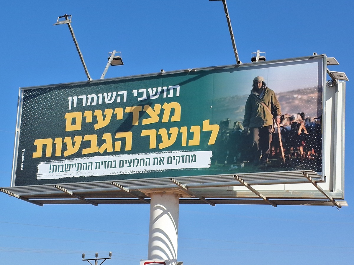 Ronit Dahan-RamatiAug-21-2025Highway 505: Salute to the Hilltop Youth
-