
‘Azzun, ‘Azzun ‘Atma, Habla, Shomron Crossing, Tue 27.11.12, Afternoon
13:20 Habla. The gate is open. Four youths and two women leave the village. Two pickup trucks from the plant nurseries leave loaded with seedlings. No lines. People cross quickly. The school bus arrives and crosses; only a few children are aboard. Two trucks enter Habla. An Israeli from Kfar Saba arrives in his vehicle to take two Palestinian youths to work in Israel. He praises our work.
Used clothing is scattered in the shed where people wait; apparently someone wasn’t allowed to bring them to Habla – the checkpoint is intended only for agricultural produce.
The law must be obeyed!

A number of military and police vehicles at the gas station at the Alfei Menashe junction. In response to our question the reservists tell us they stopped for coffee.
13:55 Eliyahu gate. Four vehicles and a bus on line for inspection. The entrance to Shomron is open.
14:15 Azzun. We unloaded many parcels at Z.’s house that we’d brought for his shop.
15:00 Shomron gate. Sparse traffic in both directions.
15:25 Azzun Atma. Construction of the shed continues. A truck blocks the exit and entry of vehicles until 16:00. Pedestrians cross quickly. Two donkey carts wait for the vehicle entrance to open.
Three or four tractors work between Azzun Atma and Oranit, north of the road. What infrastructure is being prepared?
Oranit junction. We turned right at the plaza, next to the Electric Company’s installation at Elkana. We photographed a sign reading “Haim’s Route” on the road blocked by a fence.
Shomron gate terminal (Oranit). Many buses arrive, coming to and from the Shomron; three in five minutes. Heavy traffic. We came in the wake of Dalya’s report but didn’t see police removing Palestinians from buses. We wonder whether we’re standing in the right place.
'Azzun
See all reports for this place-
Azoun (updated February 2019)
A Palestinian town situated in Area B (under civil Palestinian control and Israeli security control),
on road 5 between Nablus and Qalqiliya, east of Nabi Elias village. The inhabitants are allowed to construct and improve infrastructures. The Separation Fence has confiscated lands belonging to the town's people. In 2018 olive tree groves owned by one of its inhabitants were confiscated for the sake of paving a road to bypass Nabi Elias. Azoun population numbers 13,000, its economic state dire. Its infrastructures are poor, neglect and poverty rampant. In the meantime, the town council has completed paving an internal road for the inhabitants' welfare.
Because of its proximity to the Jewish settler-colony of Karnei Shomron and its outposts, the town suffers the intense presence of the Israeli army, especially at nighttime: soldiers enter homes, arrest suspects, trash the house and sometimes ruin it, as they do in numerous places in the West Bank. At times a checkpoint closes the entrance to the town, so no one can come in or get out.
-
'Azzun 'Atma
See all reports for this place-
'Azzun 'Atma
A Palestinian village of about 1,800 residents. The settlement of Sha'arei Tikva was established on its land adjacent to it, and the settlement of Oranit was established on its agricultural lands. By 2013, the separation fence had passed through the village and a checkpoint staffed by the army allowed the residents to cross from side to side. After building a massive wall surrounding the village and some of its agricultural lands, the residents went daily for five years to their lands that remained in the Seam Zone through the Oranit agricultural checkpoint (4). Since 2018 it has only opened during the olive harvest and the farmers have to pass daily at the Beit Amin / Abu Salman checkpoint (1447), about 3 kilometers north.From a report from March 24, 2021: "The farmers from Beit Amin and Azon Atma are happy that since February 21 the Oranit checkpoint .is going to be open 3 times a day, The farmers are really developing the place."
Report from July 14, 2024: "Ornit checkpoint is closed . The Beit Amin/Abu Salman agricultural checkpoint is closed (there is no contact with the military to check if it opens rarely), the Ezbat Jaloud checkpoint was opened once a day before the war.
Updated for July 2024
 Apr-11-2019Azoun: The main entrance to village blocked now for several weeks
-
Habla
See all reports for this place-
Habla CP (1393)
The Habla checkpoint (1393) was established on the lands of the residents of Qalqilya, on the short road that
connected it for centuries to the nearby town of Habla. The separation barrier intersects this road twice and cut off the residents of Qalqilya from their lands in the seam zone.(between the fence and the green line).
There is a passage under Road 55 that connects Qalqilya to the sabotage This agricultural barrier is used by the farmers and nursery owners established along Road 55 from the Green Line and on both sides of the kurkar road leading to the checkpoint.
This agricultural checkpoint serves the residents of Arab a-Ramadin al-Janoubi (detached from the West Bank), who pass through it to the West Bank and back to their homes. The opening hours (3 times a day) of this agricultural checkpoint are longer than usual, about an hour (recently shortened to 45 minutes), and are coordinated with the transportation hours of a-Ramadin children studying in the occupied in the West Bank. Nina SebaAug-18-2025Habla: The gate is in the process of closing
-
Shomron Crossing
See all reports for this place-
Shomron Crossing The Shomron checkpoint for vehicles. is located east of Rosh HaAyin and Kafr Qassem, on Road 5 (Trans-Samaria) leading to Ariel and the Za'atara junction. It is intended for blue ID cardholders, foreign guests or diplomats, and international organizations only. In 2009 the management was entrusted to a civil security company.
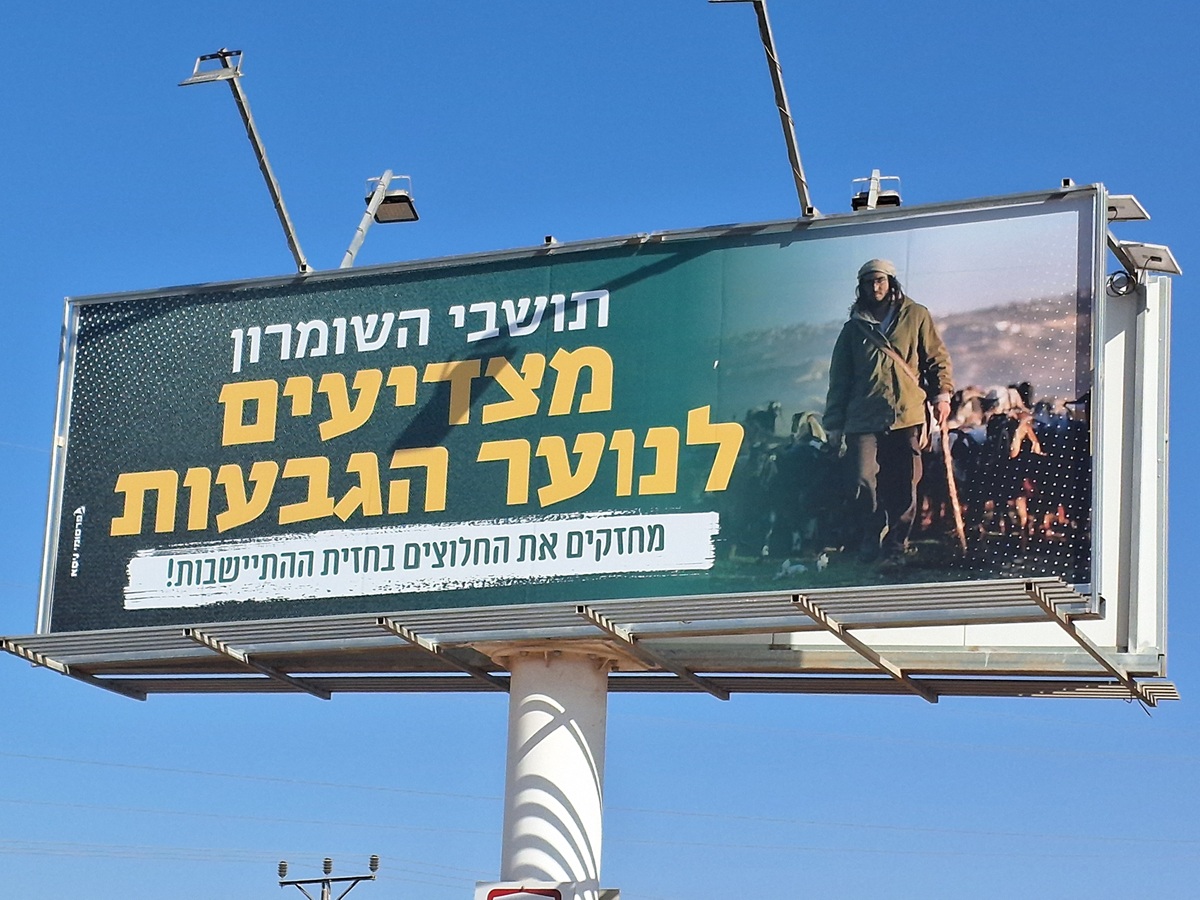 Ronit Dahan-RamatiAug-21-2025Highway 505: Salute to the Hilltop Youth
-