
‘Azzun, Eliyahu Crossing, Jayyus, Shomron Crossing, Deir Istiya
Translator: Charles K.
We went to see and photograph what happened at Deir Istiya and to find out what time the northern Jayyous gate opens in the afternoon.
11:30 Eliyahu crossing. Traffic flows with no delays.
A military vehicle parked off the road to the right at the entrance to Azzun. No roadblock.
11:45 Jayyous. Northern checkpoint. Our contact in Jayyous told us the gate is open from 11:30 to 12:00. But it’s locked; no one’s there. Unlike what we were told at the DCO two days earlier, there’s no sign with the hours it’s open, nor the number of the gate. We start making phone calls and reach the DCO “situation room,” but only via the humanitarian office. Here are the hours they gave us: Morning: 5:30-6:30; afternoon: 12:15-1:15; evening: 16:00-17:30. We waited until 12:30 – no soldiers, nor any Palestinians. We called the DCO three more times; each time they promised to check but we received no answer. No one knows whether the gate will open today, and the afternoon opening hours remain unknown. We’ll keep nagging the DCO, because the riddle must be solved.
12:30 We went to Azzun to visit Z. and unload parcels at his shop. He was pleased with a couch and other furniture Zvia’s son brought him. Many people in front of the post office – the municipality is distributing olive trees (for Tu B’shvat…).
We continue to Deir Istiya. A military vehicle at the entrance, soldiers outside the vehicle, eating. They ignored us. The vehicle was no longer there when we left the village. There’s a military vehicle at the turn to the settlements of Yakir and Nofim.
We drive straight to the mosque. The municipal head, the beadle and a group of youths are there. During the night between January 14 and 15, about 03:30, settlers entered the village, reached the mosque, sprayed slogans and started a fire. The mosque’s carpet and entrance door were burned.
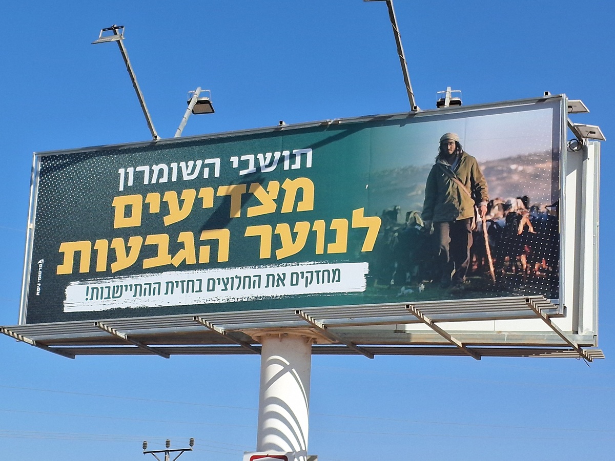
This is what Tag Mechir, hilltop version looks like. The response to what happened at Kusra wasn’t long in coming.
The municipal head told us that since Deir Istiya is surrounded by settlements, they’re harassed daily. The army also comes almost daily, sometimes closing the entrance to the village from the road to Emanuel, so the villagers must leave and enter through Kifl Hars.
Last night (January 14), at 19:00, the army closed all the entrances to the village and forbade residents from leaving their homes. They claimed someone had thrown rocks. Every rock thrown results in the collective punishment of all the residents. The army entered the village, fired tear gas and declared a curfew until midnight. The residents, who are used to the army’s methods, went to sleep.
The soldiers finished the operation in defense of the homeland and left the village. A. said that the military vehicle that’s always, at night as well, at the junction to the Yakir settlement (which is visible from the mosque), disappeared. And apparently then the hooligans arrived. The villagers can’t believe there’s no connection or cooperation between the hooligans and the soldiers. How is it possible that the only night the military vehicle stationed permanently at the Yakir junction leaves – the “hilltop youth” carry out a Tag Mechir operation?
The mosque’s beadle, who was the first to arrive in the morning, before the worshippers, extinguished the fire, and called for help. The army arrived, as did representatives of the Palestinian Authority, and also the media. A. also received phone calls from Israeli networks, asking for details. A mobile phone was found not far from the mosque on the route the hooligans took out of the village,. It was handed over to the army.
This wasn’t the first arson attack on the mosque. The settlers surrounding them on all sides harass them constantly. They also have other problems because of the occupation.
In Wadi Kana (below the settlements of Yakir and Karney Shomron) there’s a spring with abundant water that served the local population. It was recently declared a nature preserve and they have been forbidden to use it.
The 36,000 dunums of village land extend to Bidiya and Qarawat Bani Hassan. 87% of the land is in Area C so the residents are not allowed to build on it. The mosque itself, which is relatively new, borders that area. They’re not allowed to build opposite it.
3500 people live in the village. Some are employed by the Palestinian Authority, some in Israel and some are farmers.
And finally, about the peace talks: he doesn’t believe peace will be reached; he believes most Palestinians want peace, think it would be good for them, unlike most Israelis he hears and sees in the media who want the occupation to continue.
And while we’re speaking to the head of the village Dalya’s car stops and four youths get out; they’d been “guides” who accompanied her to the mosque. She came on behalf of Raya…soon the video she filmed will be available.
13:40 Shomron crossing. Crossing goes smoothly and quickly. We weren’t even asked whither? whence?
'Azzun
See all reports for this place-
Azoun (updated February 2019)
A Palestinian town situated in Area B (under civil Palestinian control and Israeli security control),
on road 5 between Nablus and Qalqiliya, east of Nabi Elias village. The inhabitants are allowed to construct and improve infrastructures. The Separation Fence has confiscated lands belonging to the town's people. In 2018 olive tree groves owned by one of its inhabitants were confiscated for the sake of paving a road to bypass Nabi Elias. Azoun population numbers 13,000, its economic state dire. Its infrastructures are poor, neglect and poverty rampant. In the meantime, the town council has completed paving an internal road for the inhabitants' welfare.
Because of its proximity to the Jewish settler-colony of Karnei Shomron and its outposts, the town suffers the intense presence of the Israeli army, especially at nighttime: soldiers enter homes, arrest suspects, trash the house and sometimes ruin it, as they do in numerous places in the West Bank. At times a checkpoint closes the entrance to the town, so no one can come in or get out.
-
Eliyahu CP (109) / Crossing
See all reports for this place-
Eliyahu CP (109) / Crossing This checkpoint, also known as the Fruit Crossing, is one of the main checkpoints between Israel and the West Bank. It is located on Route 55 between Alfei Menashe and the turn to Qalqilya and Zufin, more than 4 km east of the Green Line, in the separation fence, which separates Qalqilya from its lands to the south, thus leaving Alfei Menashe West of the fence - the Seam Zone. This checkpoint, a few kilometers across the Green Line, is intended for "Israeli settlement in the West Bank and the population of the Seam Zone." It is managed by a civil company. Palestinians with a special permit for their lands in the seam area are also allowed to pass through it, on foot, and sometimes by car.
-
Jayyus North (935)
See all reports for this placeShomron Crossing
See all reports for this place-
Shomron Crossing The Shomron checkpoint for vehicles. is located east of Rosh HaAyin and Kafr Qassem, on Road 5 (Trans-Samaria) leading to Ariel and the Za'atara junction. It is intended for blue ID cardholders, foreign guests or diplomats, and international organizations only. In 2009 the management was entrusted to a civil security company.
 Ronit Dahan-RamatiAug-21-2025Highway 505: Salute to the Hilltop Youth
-
