
Azzun - Plan to expropriate land for widening Highway 55
After reading a newspaper article about land expropriation in order to widen Highway 55 between the Green Line and the Alfei Menashe junction, we went to talk to the plant nurseries’ owner to learn whose lands were stolen and what were the consequences of the theft for them.
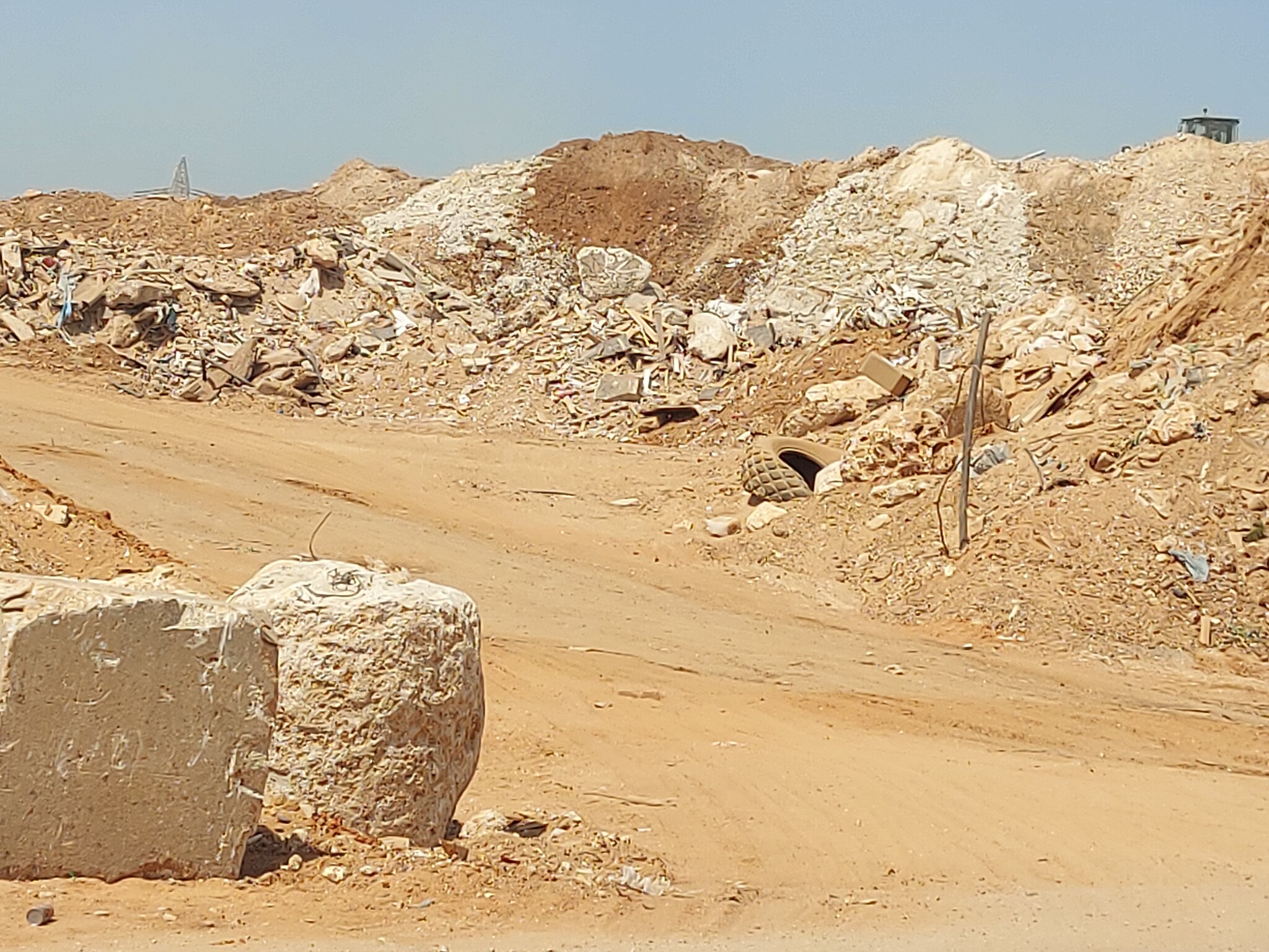
We stopped on the way at the “new” checkpoint in south Qalqilya to see the work on the new Highway 444 next to Qalqilya, at the end of which a new checkpoint had been erected a few months ago. Work continues apace, involving a number of heavy construction vehicles which raise a considerable amount of dust.
The gate is run by the same crew as the Habla checkpoint.

We next stopped in ‘Azzun. We unloaded parcels and heard from our friend Z. that his operation has been scheduled for the end of September. His son is recovering from his own surgery.
Habla checkpoint: The soldiers arrived at 13:40, ten minutes late. People on foot cross as usual through the gap in the fence. One gap is repaired and immediately a new one appears. They have no reason to wait for the soldiers.
For some reason, the inspections take longer today. A number of cars went through in both directions. Three trucks entered Habla and eight exited.
We spoke to a truck driver who’d arrived before the soldiers came. He said he enters through this checkpoint, unloads and loads goods in Habla, and manages to return through the new Qalqilya gate slightly after 14:00. His land was also expropriated; he and a lawyer he hired are dealing with it.


Our fourth stop was at A’s nursery. After purchases, we asked him whom we could speak with about the theft of land. He referred us to K., the owner of the nursery.
In K.’s office,
Maps of the area hang on the wall; the cabinet holds thick ring binders containing information about the Highway 55 widening including current and previous court cases brought by Palestinians. The office is modern and well equipped. Cameras cover the nurseries area and a screen displays a view of what’s going on everywhere.
When Miri Regev was Transportation Minister the government decided to widen Highway 55, at a cost of NIS 250 million. When she visited the minister promised to double its width and make it two-lane in each direction. The heads of the Shomron regional council and the Karnei Shomron council were beside themselves with joy. “We’re being linked to Israel and soon we’ll come under its sovereignty.” That’s what he said. They spoke of the highway’s importance but didn’t mention who owned the land. Who was in fact paying for the new road. A minor detail.


At this stage, the plan is to widen the road by 1300 meters from the plaza (the Green Line) east to the gas station at the Alfei Menashe junction. The hope is to widen it all the way to Highway 60.
Who will be harmed: 35 families, 13 plant nurseries, about 700 persons – all their employees. K. will lose 20 dunums and his plant nursery will disappear.
The planned width of the new road will be 180 meters – the four lanes of Highway 55, and two roads for the Palestinian farmers running parallel to the main road. Two plazas are planned on these roads, each covering 6 dunums. The Palestinians objected and at this stage, the planned plaza on the southern road has been eliminated. Passage from the southern to the northern agricultural road will be via a U-shaped tunnel under Highway 55. A strip 40 meters wide was saved.
K., along with 35 appellants, contacted Atty. Dror Arad. They hope the objections he submitted will be accepted and they’ll win. He notes they’re not asking for money. There’s no appropriate compensation for their families’ land. They want ownership of the land on which the nurseries stand, to work, continue to earn a living and to ensure the likelihood of their hundreds of employees.
He believes in the Israeli judges: In 2000 he sued the Ministry of Defense because it demolished his nurseries. Finally, last year, after 20 years in court, the judge granted them full compensation, including linkage and interest.
He’s optimistic. He says the road built for Alfei Menashe in 1983 hadn’t then obtained all the required permits. He also notes that according to the law, expropriation of land must have a public purpose, and a road, for example, must serve the owners whose land is being expropriated. In the present case, Palestinians comprise less than 1% of those using the road.
K. notes that his grandfather registered all the land in the Tabu, and he also has land inside of Alfei Menashe that is registered in the Tabu. Of course, he can’t access it.
'Azzun
See all reports for this place-
Azoun (updated February 2019)
A Palestinian town situated in Area B (under civil Palestinian control and Israeli security control),
on road 5 between Nablus and Qalqiliya, east of Nabi Elias village. The inhabitants are allowed to construct and improve infrastructures. The Separation Fence has confiscated lands belonging to the town's people. In 2018 olive tree groves owned by one of its inhabitants were confiscated for the sake of paving a road to bypass Nabi Elias. Azoun population numbers 13,000, its economic state dire. Its infrastructures are poor, neglect and poverty rampant. In the meantime, the town council has completed paving an internal road for the inhabitants' welfare.
Because of its proximity to the Jewish settler-colony of Karnei Shomron and its outposts, the town suffers the intense presence of the Israeli army, especially at nighttime: soldiers enter homes, arrest suspects, trash the house and sometimes ruin it, as they do in numerous places in the West Bank. At times a checkpoint closes the entrance to the town, so no one can come in or get out.
-
Habla CP (1393)
See all reports for this place-
Habla CP (1393)
The Habla checkpoint (1393) was established on the lands of the residents of Qalqilya, on the short road that
connected it for centuries to the nearby town of Habla. The separation barrier intersects this road twice and cut off the residents of Qalqilya from their lands in the seam zone.(between the fence and the green line).
There is a passage under Road 55 that connects Qalqilya to the sabotage This agricultural barrier is used by the farmers and nursery owners established along Road 55 from the Green Line and on both sides of the kurkar road leading to the checkpoint.
This agricultural checkpoint serves the residents of Arab a-Ramadin al-Janoubi (detached from the West Bank), who pass through it to the West Bank and back to their homes. The opening hours (3 times a day) of this agricultural checkpoint are longer than usual, about an hour (recently shortened to 45 minutes), and are coordinated with the transportation hours of a-Ramadin children studying in the occupied in the West Bank. Nina SebaAug-18-2025Habla: The gate is in the process of closing
-
Qalqiliya new CP
See all reports for this place-
Qalqilya new CP
A checkpoint at the southwestern end of the separation wall between Qalqilya and the nursery enclave on Route 55. Observed by Checkpoint Watch in February 2021. Possibly related to works to widen Route 444 and the bridge being built.
-
