
Bruqin, Haris, Kufr alDik, Shomron Crossing, Tue 31.1.12, Morning
Burukin, Kafr A-Diq, Hares Tuesday January 31st 2012
09:20
Samaria Gate – about five vehicles on each of the lanes on the road to Israel.
09:30
We turn off from road No. 5 to road no. 446 in the direction of Aley Zahav and from there to the left, beween big concrete blocks, on the way leading to Burukin and from there to Kafr A-Diq.
Burukin – most of the shops are still shut, the shutters are closed, there is little traffic on the streets.
Kafr A-Diq – we stop near the council building, exchange words with the adjoining grocery and with H. The children are still on leave from school.
We find out that the western exit from the village which was blocked the week before, has been opened, and we leave and drive again amidst the big blocks in the direction of the junction with road no. 446 and from there back to road no. 5. We continue to the Emmanuel junction and from there to Hares.
10:00
Hares – at the council building we meet the head of the local council and are joined by some inhabitants.
Seven inhabitants received two days before building cessation and demolition injunctions for houses which are in different stages of building. The injunctions were given to the owner of the building or the building contractor without names but with an exact indication of site and plot.
One of the inhabitants complained that he had begun building on his own land another house next to a house that had been occupied for years, and that he received an demolition injunction for both. We learned that they have a lawyer who takes care of the matter.
We went to the adjoining building where a big group of women were waiting for us. We told them about Machsomwatch. Then they split into two groups for activities.
12:15
We returned through the Samaria Gate. There were no delays.
Bruqin
See all reports for this place-
Bruqin is a village of about 4,000 residents in Salfit County. 600 dunams of the village's land were expropriated in 1984 for the establishment of the Barkan industrial zone. Small sewage treatment plant This area is regularly flooded. The sewage flows into Baruchin and pollutes the streets of the village. In 1999, the Bruchin settlement was established. The barrier of separation and harassment Settlers keep the villagers away from 30% of their lands (about 4,000 dunams). About half of the village lands are in Area C, on which Israel prevents construction.
-
Haris
See all reports for this place-
Haris
The village has 4,500 people and they have 5,000 dunams of land. The entrance to the village is blocked and opened arbitrarily, without informing the residents.The village has a seasonal checkpoint that blocks the road to the agricultural land and this checkpoint opens once a year! 2,500-3,000 dunams were stolen from the village in order to build the settlements of Revava and Netafim, which are located west of Haris.
The center of the village is Area B and around Area C. The population grows but the occupation does not permit new construction in Area C.
-
Kufr a-Dik
See all reports for this place-
Kufr a-Dik This is a Palestinian village in the Salfit district of the West Bank, located 8 kilometers east of the Green Line. The village population numbers 4,494 (as of 2007). 14.5% of the village were included in Area B (supposedly under Palestinian civil control) and 86% categorized as Area C – meaning both civil and military Israeli control, which severely affects the state of the village and its inhabitants. Over the years Israel has robbed 1,448 dunams from the village’s farmlands for the sake of building the settler-colonies of Penuel, Alei Zahav, Yoezer, Har Alei Zahav, and the industrial zone next to Penuel. Lands were also sequestered for the paving of Road 446 whose length stretches over 4 kilometers and includes a buffer zone 75-meters wide on both its sides. Following the paving of the road, the village has suffered not only landgrab but home demolitions and the destruction of water wells as well. Rates of unemployment in both the private and the public sectors reach 60%. In the years 2010-2013 creative activity was held by members of MachsomWatch and women of the village. For further information: http://vprofile.arij.org/salfit/pdfs/vprofile/Kafr%20ad%20Dik_tp_en.pdf
-
Shomron Crossing
See all reports for this place-
Shomron Crossing The Shomron checkpoint for vehicles. is located east of Rosh HaAyin and Kafr Qassem, on Road 5 (Trans-Samaria) leading to Ariel and the Za'atara junction. It is intended for blue ID cardholders, foreign guests or diplomats, and international organizations only. In 2009 the management was entrusted to a civil security company.
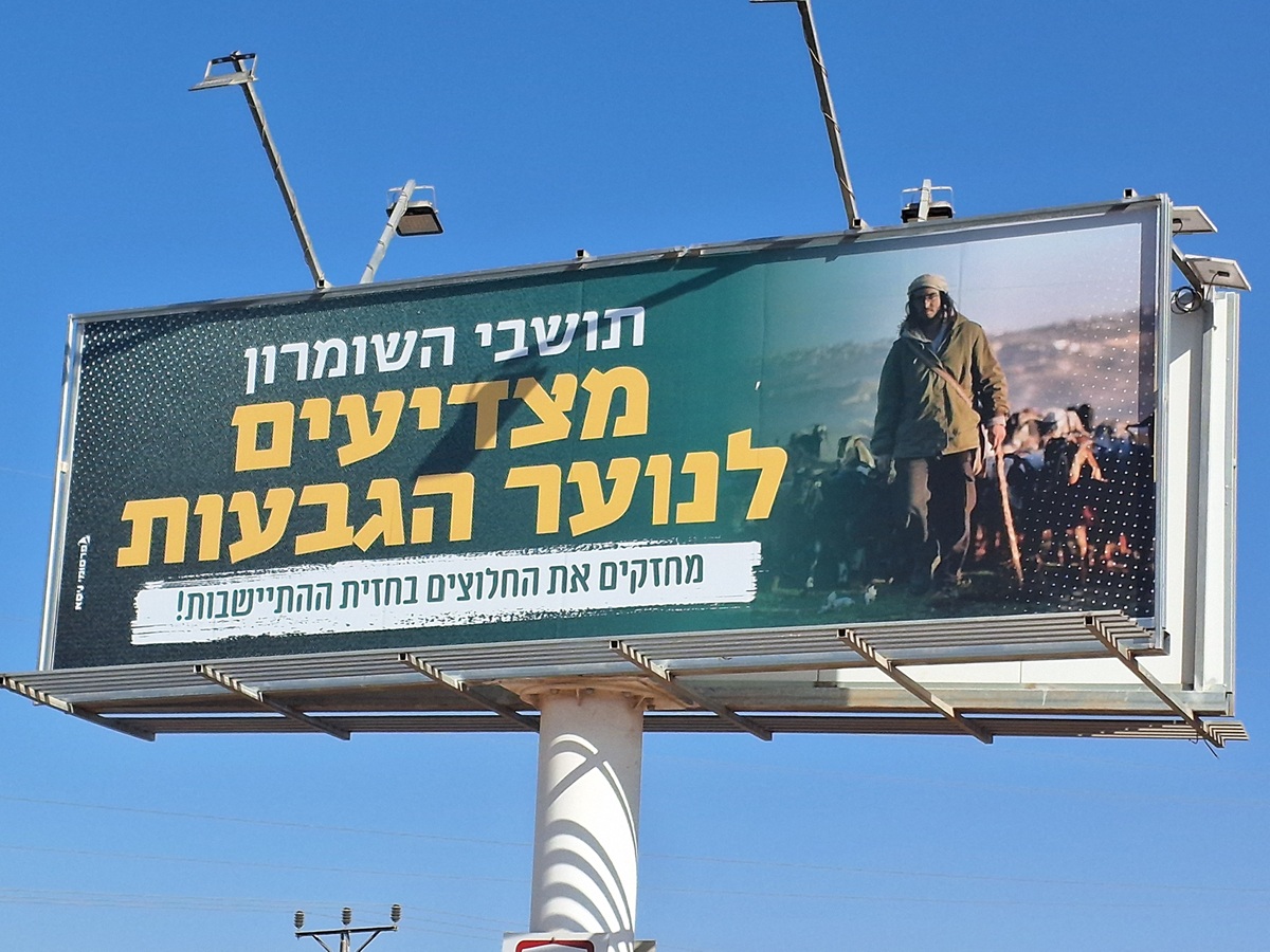 Ronit Dahan-RamatiAug-21-2025Highway 505: Salute to the Hilltop Youth
-