
Dura-Al Fawwar Junction, Hakvasim (sheep) Junction, South Hebron Hills
In Dror Etkes’ Facebook page Kerem Navot (the Biblical Navot’s vineyard allegory) we read about the emergence of yet another sheep ranch on privately owned Palestinian land near the settler-colony Negohot. We went there to see for ourselves.
We drove along road 358 and crossed the fence at Negohot Checkpoint – a new one. A reserves soldier opens the gate for us. Palestinian citizens of Israel who arrive unaccompanied by Jewish Israelis are usually not allowed through. On our way there we noticed a new sign indicating that the quarry, also situated inside Palestinian-owned land, belongs to the settler-colony Beit Haggai, about 25 kilometers away. The sign is new, although Beit Haggai has controlled this quarry for a long time.
Below – photos of what we saw:
The sheep ranch
The flag and water tank on another hill, closer to the main road and to the settler-colony.
We did not approach the sheep ranch. We were afraid.

Trail signs to the sheep ranch resemble the trail signs leading to the spring in Hebron, imitating legal Israeli nature trail signs.
The photo below shows a string demarcating the settler-colony’s territory. It was extended so that observant Jews may walk there on the Sabbath.
And this is the pillbox post. On the other side two orange-colored gates were placed. The entire way from road 358 to road 60 is in the heart of Palestinian territory among Palestinian villages of Area A.

On road 60 – barriers at Dura-Al Fawwar, at the Sheep Junction. Soldiers are also posted near the spring reservoir near Al Fawwar.
We entered Bani Na’im to check what was going on in the vineyard. To our surprise we found considerable army presence there – at least four army vehicles. There was no friction with Palestinians so we left. No pictures taken.
The photos below show Israeli flags upon the structures on Hill 22 in the northern part of settler-colonyKiryat Arba.
Land-grab from the Palestinians persists in broad daylight.
Two states for two peoples remains mere hollow rhetoric.
What is to become of us?
Dura Al-Fawwar Junction
See all reports for this place-
Junction on Route 60: west - the town of El Dura, east - the Al Fawwar refugee camp. There is a manned pillbox at the junction. From time to time the army sets up flying checkpoints at the entrance to El Fawwar and Al Dura. Al-Fawwar is a large refugee camp (7,000 inhabitants in 2007) established in 1949 to accommodate Palestinian refugees from Be'er Sheva and Beit Jubrin and environs. There are many incidents of stone-throwing. In the vicinity of the pillbox there are excellent agricultural areas, Farmers set up stalls adjacent to the plots close to the road. In recent months the civil administration has set up dirt embankments thereby blocking access to the stalls, and making it impossible for the farmers to sell their vegetables. Updated April 2021, Michal T.
-
Hakvasim (sheep) Junction
See all reports for this place-
One of the roadblocks (earthworks, rocks, concrete blocks or iron gates) that prevent transit of vehicles to Route 60 in the southern West Bank and block the southern entrance to Hebron. A manned pillbox supervises the place.
-
South Hebron Hills
See all reports for this place-
South Hebron Hills
South Hebron Hills is a large area in the West Bank's southern part.
Yatta is a major city in this area: right in the border zone between the fertile region of Hebron and its surroundings and the desert of the Hebron Hills. Yatta has about 64,000 inhabitants.
The surrounding villages are called Masafer Yatta (Yatta's daughter villages). Their inhabitants subsist on livestock and agriculture. Agriculture is possible only in small plots, especially near streams. Most of the area consists of rocky terraces.Since the beginning of the 1980s, many settlements have been established on the agricultural land cultivated by the Palestinians in the South Hebron Hills region: Carmel, Maon, Susia, Masadot Yehuda, Othniel, and more. Since the settlements were established and Palestinians cultivation areas have been reduced; the residents of the South Hebron Hills have been suffering from harassment by the settlers. Attempts to evict and demolish houses have continued, along with withholding water and electricity. The military and police usually refrain from intervening in violent incidents between settlers and Palestinians do not enforce the law when it comes to the investigation of extensive violent Jewish settlers. The harassment in the South Hebron Hills includes attacking and attempting to burn residential tents, harassing dogs, harming herds, and preventing access to pastures.
There are several checkpoints in the South Hebron Hills, on Routes 317 and 60. In most of them, no military presence is apparent, but rather an array of pillboxes monitor the villages. Roadblocks are frequently set up according to the settlers and the army's needs. These are located at the Zif Junction, the Dura-al Fawwar crossing, and the Sheep Junction at the southern entrance to Hebron.
Updated April 2022
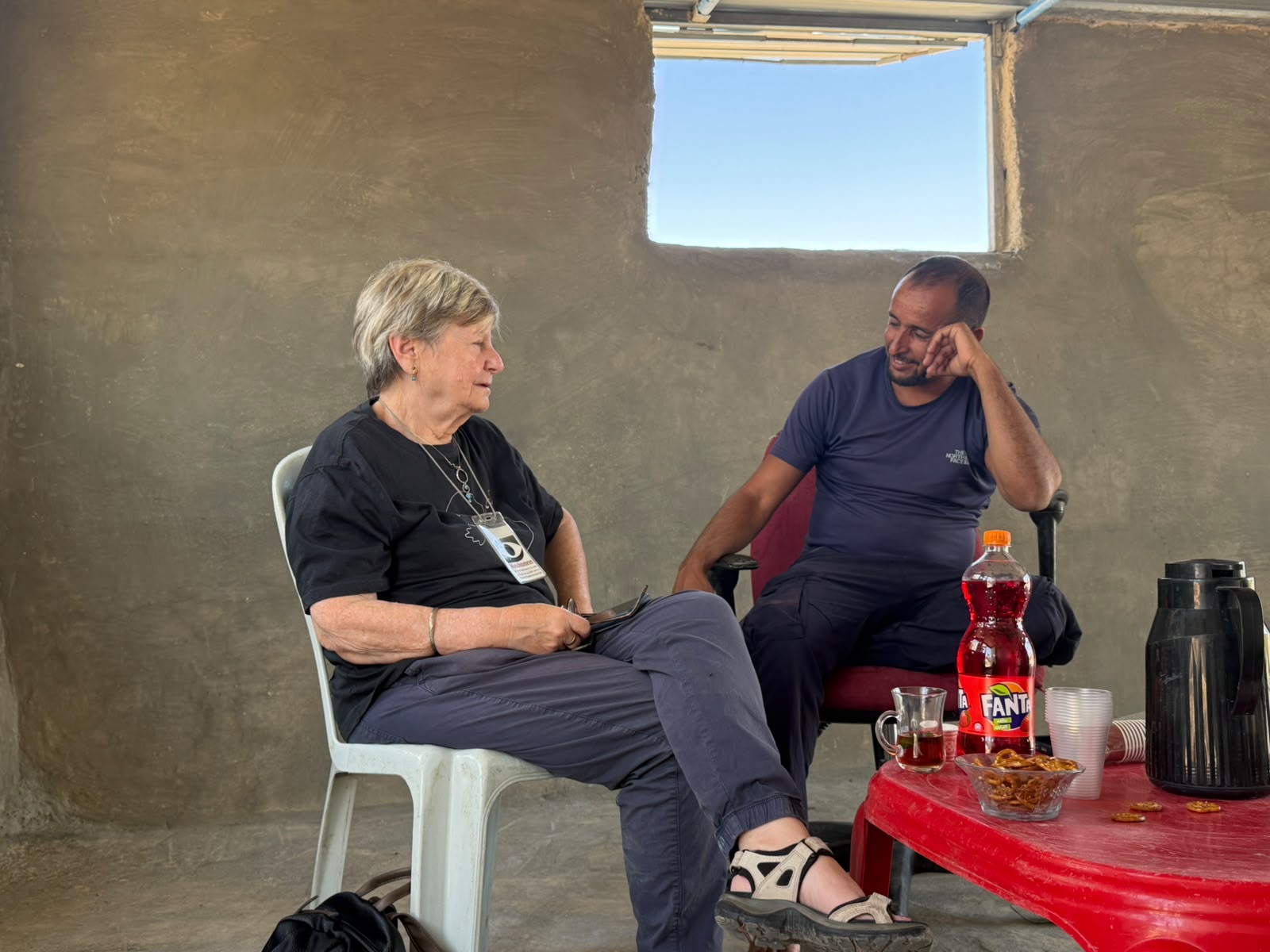 Muhammad D.Oct-10-2026Smadar with Najeh in Umm Qusa
-
