
Dura-Al Fawwar Junction, Sansana (Meitar Crossing), South Hebron Hills
We dedicate the shift to the blessed memory of the late MK Said al-Harumi.
1. The Meitar crossing is now larger than Tarkumiya in terms of the number of workers passing through it. Parking extends along Route 60 east, and also north.
2. At intersections there are more soldiers than usual: at the entrance to Samo’, an IDF vehicle and a mobile checkpoint. Also at the entrance to Dahariya. Also at the entrance to al-Fawwar. And next to Deir Razih, there is a post at the entrance and also soldiers in a pillbox on the hill.
3. We turn in the direction of Khursa. On the road, settlers pass too and fro , probably from Negohot, without fear.
We stop for coffee at Tawfiq Shahtit. He studied Islamic religion at the University of Hebron but decided that earning a living from teaching was not worth it. That is why he worked for years in Israel in construction, hence his good Hebrew. So he saved for the wedding, also for the purchase of a plot of land, also for the construction of the house and the establishment of his hardware store – settlers also buy from him. He has a permit to enter Israel as a trader, because he is over 55 and also vaccinated twice.
5. He draws our attention to a group of soldiers on the steps in front of a store opposite, of course without being aware that their presence deters potential customers. They say they are just walking around town. We exchange experiences on the use of the phrase “shufuni”, look at me, as a cynical critique of arrogant and lordly and degrading behavior, both in Palestine and in spoken Hebrew.
6. I ask about the water tower on the horizon opposite, to the south. This is the water which is supplied by the Palestinian Authority. The water flows to the neighborhoods in turn, once every day. The water is not expensive (5-7 shekels per cubic meter) but is never enough, so it affects the economy – reducing grazing and agriculture. As for household consumption, when there is running water, each family fills the tank on the roof and if the family has a well then they fill that too.
7. We continue west. To the left at the entrance to Negohot Farm there is no longer a sign with the name of the farm, but there is a yellow vehicle barrier.
8. We pass Beit ‘Awwa on the right and decide to try to enter Israel through the Negohot crossing. The soldier hears that I am from Yeruham and making a detour through Negohot and does not demand a certificate. But M. has to identify himself. The sergeant also goes down to check. He consults with the communication device (M. says that the one who determines is the security commander of Negohot. A settler decides for the army and not the other way around). We are allowed to go on our way.
9. Back south on Road 458. To the right of the settlement of Neta, evacuees from Gush Katif who refused the name first assigned to them, Mirsham, like the name of the Palestinian village nearby, Beit Mirsam. They chose their own name, Neta. M. He says that this there is a large site of abandoned caves which were used as homes until the people moved to Dura
10. We turn east onto Sansana Road which connects to Road 60 south of the Meitar Pass. The road winds through the pine forests that mark the Israeli territory of the Green Line, the settlement itself north of the road across the Green Line, was annexed to Israel like Beit Yatir.
Dura Al-Fawwar Junction
See all reports for this place-
Junction on Route 60: west - the town of El Dura, east - the Al Fawwar refugee camp. There is a manned pillbox at the junction. From time to time the army sets up flying checkpoints at the entrance to El Fawwar and Al Dura. Al-Fawwar is a large refugee camp (7,000 inhabitants in 2007) established in 1949 to accommodate Palestinian refugees from Be'er Sheva and Beit Jubrin and environs. There are many incidents of stone-throwing. In the vicinity of the pillbox there are excellent agricultural areas, Farmers set up stalls adjacent to the plots close to the road. In recent months the civil administration has set up dirt embankments thereby blocking access to the stalls, and making it impossible for the farmers to sell their vegetables. Updated April 2021, Michal T.
-
Meitar checkpoint / Sansana
See all reports for this place-
Meitar Checkpoint / Sansana The checkpoint is located on the Green Line and serves as a border crossing between Israel and the West Bank. It is managed by the Border Crossing Authority of the Defense Ministry. It is comprised of sections for the transfer of goods as well as a vehicle checkpoint (intended for holders of blue identity cards, foreign nationals or diplomats and international organizations). Passing of Palestinians is prohibited, except for those with entry permits to Israel. Palestinians are permitted to cross on foot only. The crossing has a DCO / DCL / DCL / DCL (District Coordination Office), a customs unit, supervision, and a police unit. In the last year, a breach has been opened in the fence, not far from the crossing. This breach is known to all, including the army. There does not appear to be any interest in blocking it, probably as it permits needed Palestinian workers without the bureaucratic permits to get to work in Israel. Food stalls and a parking area economy have been created, but incidents of violent abuse by border police have also been recorded. Updated April 2022
-
South Hebron Hills
See all reports for this place-
South Hebron Hills
South Hebron Hills is a large area in the West Bank's southern part.
Yatta is a major city in this area: right in the border zone between the fertile region of Hebron and its surroundings and the desert of the Hebron Hills. Yatta has about 64,000 inhabitants.
The surrounding villages are called Masafer Yatta (Yatta's daughter villages). Their inhabitants subsist on livestock and agriculture. Agriculture is possible only in small plots, especially near streams. Most of the area consists of rocky terraces.Since the beginning of the 1980s, many settlements have been established on the agricultural land cultivated by the Palestinians in the South Hebron Hills region: Carmel, Maon, Susia, Masadot Yehuda, Othniel, and more. Since the settlements were established and Palestinians cultivation areas have been reduced; the residents of the South Hebron Hills have been suffering from harassment by the settlers. Attempts to evict and demolish houses have continued, along with withholding water and electricity. The military and police usually refrain from intervening in violent incidents between settlers and Palestinians do not enforce the law when it comes to the investigation of extensive violent Jewish settlers. The harassment in the South Hebron Hills includes attacking and attempting to burn residential tents, harassing dogs, harming herds, and preventing access to pastures.
There are several checkpoints in the South Hebron Hills, on Routes 317 and 60. In most of them, no military presence is apparent, but rather an array of pillboxes monitor the villages. Roadblocks are frequently set up according to the settlers and the army's needs. These are located at the Zif Junction, the Dura-al Fawwar crossing, and the Sheep Junction at the southern entrance to Hebron.
Updated April 2022
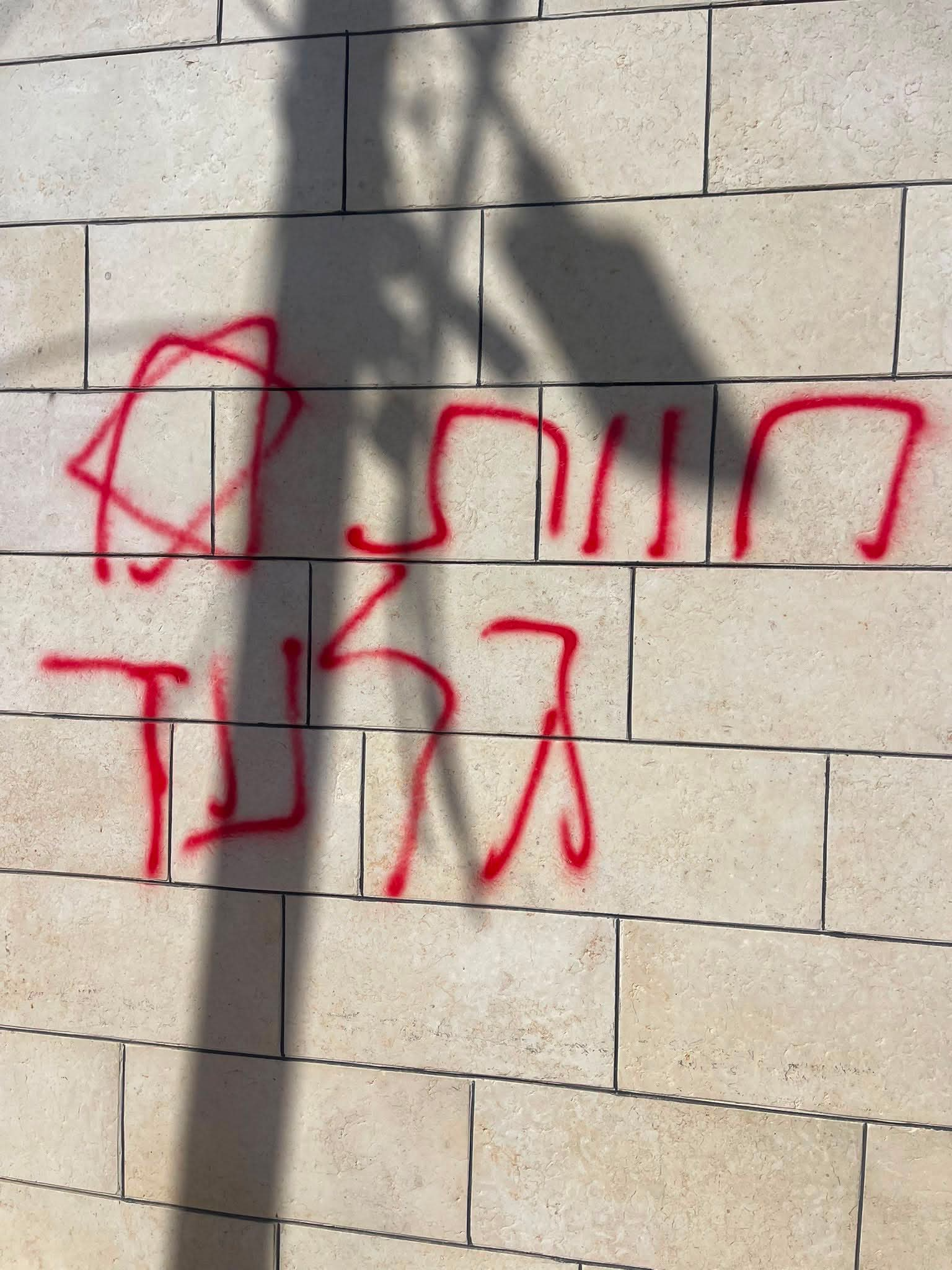 A Palestinian residentJul-19-2026Graffiti sprayed in A-Tuwani
-