
Dura-Al Fawwar Junction, South Hebron Hills
We left Shoket crossroads at 14.00 in the direction of road 60.
There was little and sparse movement of traffic. Today (a week after the terrorist attack at Sarona in Tel Aviv by the young men from Yatta) some of the barricades at the entrance to the villages have been lifted.
Next to the well at El Fawwar very many men are waiting in line to fill bottles of water.
We met one of the owners of the grocery shops who spoke with great anger about the “terrorist”
“Who did he think he was to go to Tel Aviv and kill people. A terrible boy who left 7 sisters at home and his father is not arrested and under questioning and added to that the family is in a very bad financial situation. What was he thinking of ? And now it is Ramadan and this has done great and terrible damage to us all. A youth who studied in Jordan where they seem to have brainwashed him, comes back to Israel and took his nephew with him to carry out the attack. Terrible. Awful.”
Many soldiers at the crossroads and very few people and “life” behind the car windows.
Dura Al-Fawwar Junction
See all reports for this place-
Junction on Route 60: west - the town of El Dura, east - the Al Fawwar refugee camp. There is a manned pillbox at the junction. From time to time the army sets up flying checkpoints at the entrance to El Fawwar and Al Dura. Al-Fawwar is a large refugee camp (7,000 inhabitants in 2007) established in 1949 to accommodate Palestinian refugees from Be'er Sheva and Beit Jubrin and environs. There are many incidents of stone-throwing. In the vicinity of the pillbox there are excellent agricultural areas, Farmers set up stalls adjacent to the plots close to the road. In recent months the civil administration has set up dirt embankments thereby blocking access to the stalls, and making it impossible for the farmers to sell their vegetables. Updated April 2021, Michal T.
-
South Hebron Hills
See all reports for this place-
South Hebron Hills
South Hebron Hills is a large area in the West Bank's southern part.
Yatta is a major city in this area: right in the border zone between the fertile region of Hebron and its surroundings and the desert of the Hebron Hills. Yatta has about 64,000 inhabitants.
The surrounding villages are called Masafer Yatta (Yatta's daughter villages). Their inhabitants subsist on livestock and agriculture. Agriculture is possible only in small plots, especially near streams. Most of the area consists of rocky terraces.Since the beginning of the 1980s, many settlements have been established on the agricultural land cultivated by the Palestinians in the South Hebron Hills region: Carmel, Maon, Susia, Masadot Yehuda, Othniel, and more. Since the settlements were established and Palestinians cultivation areas have been reduced; the residents of the South Hebron Hills have been suffering from harassment by the settlers. Attempts to evict and demolish houses have continued, along with withholding water and electricity. The military and police usually refrain from intervening in violent incidents between settlers and Palestinians do not enforce the law when it comes to the investigation of extensive violent Jewish settlers. The harassment in the South Hebron Hills includes attacking and attempting to burn residential tents, harassing dogs, harming herds, and preventing access to pastures.
There are several checkpoints in the South Hebron Hills, on Routes 317 and 60. In most of them, no military presence is apparent, but rather an array of pillboxes monitor the villages. Roadblocks are frequently set up according to the settlers and the army's needs. These are located at the Zif Junction, the Dura-al Fawwar crossing, and the Sheep Junction at the southern entrance to Hebron.
Updated April 2022
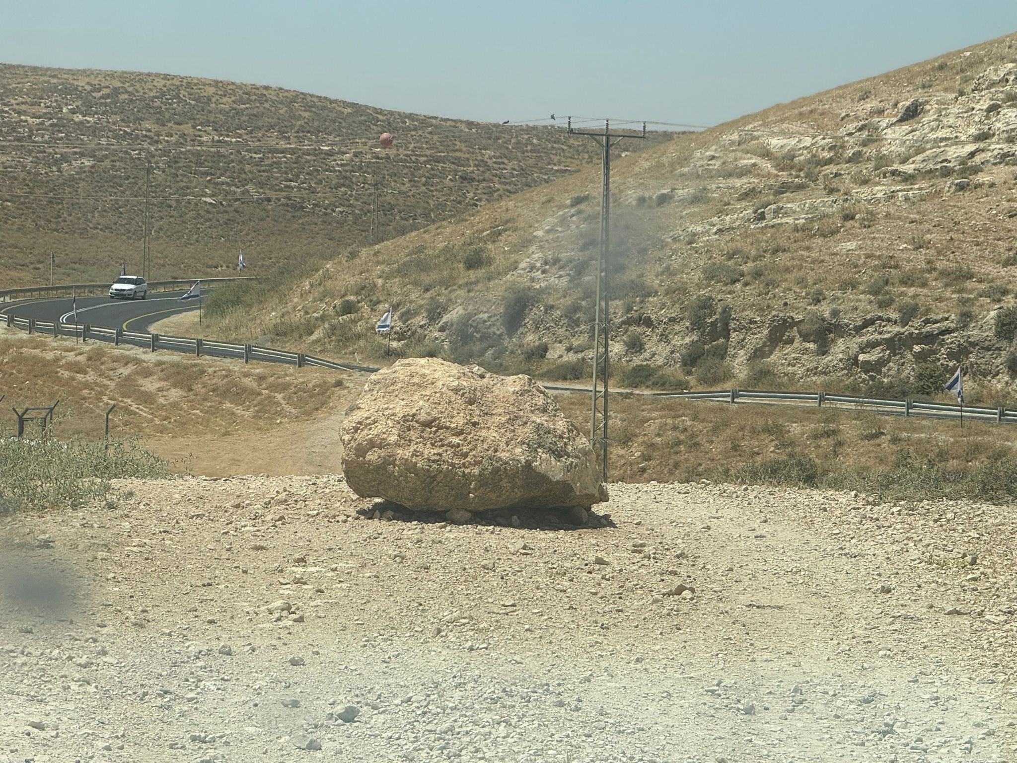 Muhammad D.Jun-7-2026A stone placed by settlers on the road leading to the Thiel family's territory in Rahwa
-