
Fuqeiqis – a settler enters their land with his dogs and sheep
Route 60:
We headed west on the road leading to Hursa. Reminder: For several years, the people of this village have been living and suffering from the barrier and the pillbox that were built right inside the settlement, while the neighbourhood divan is already beyond the barrier. The purpose of the checkpoint: to monitor the road to the Negohot settlement and its outposts – Negohot A, Negohot B, and the farm of a settler named Hagai which is next to them. Unfortunately for the Palestinians, the road to Negohot passes through the village.
The residents say that every day randomly , the soldiers come down from the pillbox for an hour or two and delay the cars so as to inspect them. Two days before they found a suspicious object, then after blowing it up the forces remained on standby all day.
It is also said that the settlers on their way to Negohot drive like crazy and push the Palestinian cars to the side of the road.
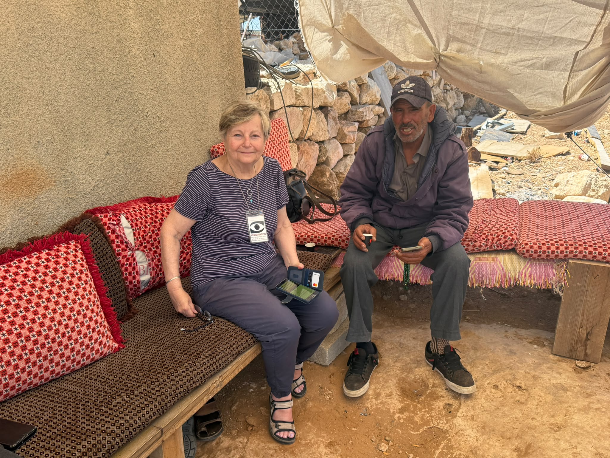
Fuqeiqis:
A small village right next to Negohot. We went to see how the Jadallah family is doing. They live in the middle between the two Negohot, and near Hagai’s farm (an illegal farm).
We were told that the settler from the illegal farm continues to come with his herd and dogs to the family’s territory and tries to push them out. This is their daily routine. We also see development and preparation works for roads and surfaces in Negohot.
Back to Route 60:
We went to the Dura Al Fawwar area. People say they are on hold right now. They are waiting to see and trying to understand the trend of the new government. In the meantime, they feel the situation is getting worse. No building permits are issued anywhere. Soldiers are now allowed to open fire with nothing to hold them back.
“They don’t understand” the person we are interviewing tells us: “Everything will come back to hit them and even harder.”
South Hebron Hills
See all reports for this place-
South Hebron Hills
South Hebron Hills is a large area in the West Bank's southern part.
Yatta is a major city in this area: right in the border zone between the fertile region of Hebron and its surroundings and the desert of the Hebron Hills. Yatta has about 64,000 inhabitants.
The surrounding villages are called Masafer Yatta (Yatta's daughter villages). Their inhabitants subsist on livestock and agriculture. Agriculture is possible only in small plots, especially near streams. Most of the area consists of rocky terraces.Since the beginning of the 1980s, many settlements have been established on the agricultural land cultivated by the Palestinians in the South Hebron Hills region: Carmel, Maon, Susia, Masadot Yehuda, Othniel, and more. Since the settlements were established and Palestinians cultivation areas have been reduced; the residents of the South Hebron Hills have been suffering from harassment by the settlers. Attempts to evict and demolish houses have continued, along with withholding water and electricity. The military and police usually refrain from intervening in violent incidents between settlers and Palestinians do not enforce the law when it comes to the investigation of extensive violent Jewish settlers. The harassment in the South Hebron Hills includes attacking and attempting to burn residential tents, harassing dogs, harming herds, and preventing access to pastures.
There are several checkpoints in the South Hebron Hills, on Routes 317 and 60. In most of them, no military presence is apparent, but rather an array of pillboxes monitor the villages. Roadblocks are frequently set up according to the settlers and the army's needs. These are located at the Zif Junction, the Dura-al Fawwar crossing, and the Sheep Junction at the southern entrance to Hebron.
Updated April 2022
 Muhammad D.Jul-12-2026Smadar with Taleb on duty at Qawawis
-