
Fuqeiqis, Sansana (Meitar Crossing), South Hebron Hills
1. M. reportas what he was told from eye witnesses: Early this morning, the Border Police ambushed the illegal workers, not near the opening in the fence but behind a high concrete fence on the southeast side of the crossing. About 70 of them were arrested and also beaten.
2. Ramadan begins tomorrow, there is a lively traffic from the Negev for shopping in Dahariya. The traffic is handled properly – changing directions of movement of lanes according to the load.
3. The Hebron River still stinks in the area of the checkpoint.
4. At the intersections of Samu’ and Dahariya, on Route 60, cameras are being put up or replaced.
5. We turn west on the road leading to A-tabaqa, Khursa, Fuqeiqis, Beit Awwa – all these thousands of Palestinians are invisible in terms of occupation, as this is the road that starts in the settlement of Adorim (Beit Dror), and then leads to Negohot A, Negohot B, and Negohot Sheep Farm. Even on the pillbox in Khursa is written “Othniel” with an arrow facing east. On the concrete blocks at the entrance to Beit Dror – Stars of David. Along the road are the remains of bus stops, where once there was a life which was trampled here. No Palestinians = no occupation. (Most Israeli signs do not mention Palestinian cities though they do take note of the most illegal outposts)
6. Yusuf at Khursa points to the barbed wire which blocks his area and explains that this injures the sheep which pass through them. And as if a blockade near his shop was not enough, every night a checkpoint is added near the mosque to the east of it, and even occasionally during the day, to completely isolate his compound from the rest of Khursa.
7. We continue west through Fuqeiqis, and reach the compound of the Zidalla family west of Negohot A. Here, too, the policy is to isolate the compound, which is already blocked to the south by Negohot sheep farms (scary to drive on this only road that connects the family to Fuqeiqis, 14-year-old son Aiham takes advantage of our visit for a ride there …), What’s left? north! So precisely where the settlers are paving a road that will connect Negohot A to Negohot B, and have already demolished a compound of another more northern family, claiming that they recently bought these lands. The work is usually done at night. The road is of course breaking through Palestinian lands, on which the Palestinians have the documents of ownership. When the Palestinians complain or trying to farm their trees in the area, settlers arrive with attack dogs, backed by the army – the only place the Palestinians have so far managed to keep the army and the settlers away from is their cemetery (regular tombstones + rock shelves for traditional burial). When they try to encircle their lands with a fence, the settlers destroy it. Everything is kosher when the settlers want to take over the lands, including “archeological excavations” according to the settlers. And as part of the archeological hobby, they took from the family a large stone with holes, which was used water the sheep
Have a blessed Ramadan
Fuqeiqis
See all reports for this place-
Fuqeiqis
The village is located in Area C west of Khursa, road 3265. Its inhabitants make a living by raising sheep and farming. Negohot settlement was established west of the village. The settlement is expanding Negohot settlers harassing the villagers in many ways. Expansion of settlements is carried out without interruption on the lands of the village.
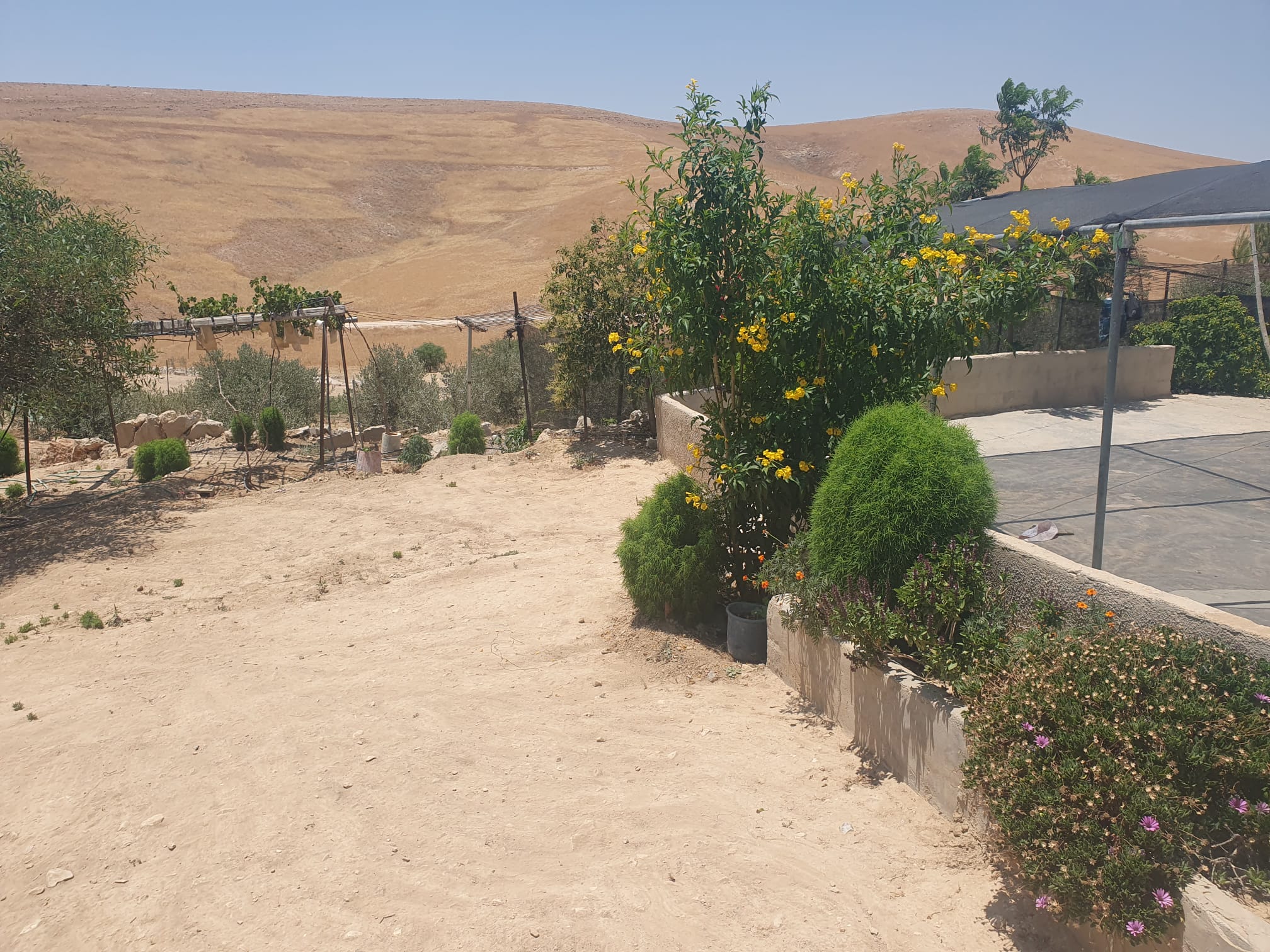 Smadar BeckerJun-28-2026The vegetation that Najh planted around the house in Umm Qusa
-
Meitar checkpoint / Sansana
See all reports for this place-
Meitar Checkpoint / Sansana The checkpoint is located on the Green Line and serves as a border crossing between Israel and the West Bank. It is managed by the Border Crossing Authority of the Defense Ministry. It is comprised of sections for the transfer of goods as well as a vehicle checkpoint (intended for holders of blue identity cards, foreign nationals or diplomats and international organizations). Passing of Palestinians is prohibited, except for those with entry permits to Israel. Palestinians are permitted to cross on foot only. The crossing has a DCO / DCL / DCL / DCL (District Coordination Office), a customs unit, supervision, and a police unit. In the last year, a breach has been opened in the fence, not far from the crossing. This breach is known to all, including the army. There does not appear to be any interest in blocking it, probably as it permits needed Palestinian workers without the bureaucratic permits to get to work in Israel. Food stalls and a parking area economy have been created, but incidents of violent abuse by border police have also been recorded. Updated April 2022
-
South Hebron Hills
See all reports for this place-
South Hebron Hills
South Hebron Hills is a large area in the West Bank's southern part.
Yatta is a major city in this area: right in the border zone between the fertile region of Hebron and its surroundings and the desert of the Hebron Hills. Yatta has about 64,000 inhabitants.
The surrounding villages are called Masafer Yatta (Yatta's daughter villages). Their inhabitants subsist on livestock and agriculture. Agriculture is possible only in small plots, especially near streams. Most of the area consists of rocky terraces.Since the beginning of the 1980s, many settlements have been established on the agricultural land cultivated by the Palestinians in the South Hebron Hills region: Carmel, Maon, Susia, Masadot Yehuda, Othniel, and more. Since the settlements were established and Palestinians cultivation areas have been reduced; the residents of the South Hebron Hills have been suffering from harassment by the settlers. Attempts to evict and demolish houses have continued, along with withholding water and electricity. The military and police usually refrain from intervening in violent incidents between settlers and Palestinians do not enforce the law when it comes to the investigation of extensive violent Jewish settlers. The harassment in the South Hebron Hills includes attacking and attempting to burn residential tents, harassing dogs, harming herds, and preventing access to pastures.
There are several checkpoints in the South Hebron Hills, on Routes 317 and 60. In most of them, no military presence is apparent, but rather an array of pillboxes monitor the villages. Roadblocks are frequently set up according to the settlers and the army's needs. These are located at the Zif Junction, the Dura-al Fawwar crossing, and the Sheep Junction at the southern entrance to Hebron.
Updated April 2022
Smadar BeckerJun-28-2026The vegetation that Najh planted around the house in Umm Qusa
-