
Gush Etzion: Tour of settlements in "Eastern Gush Etzion" towards the Dead Sea
The big hoax
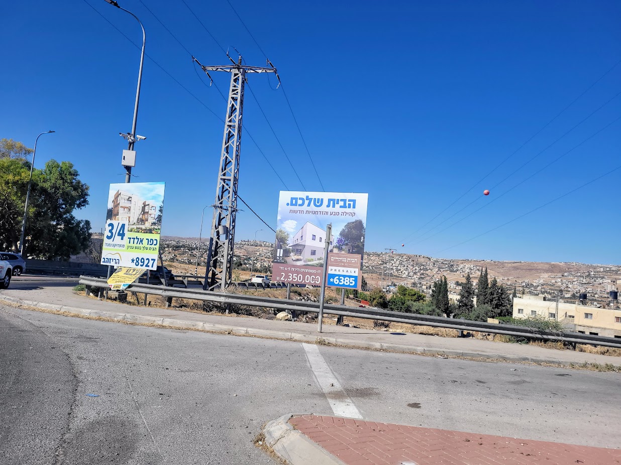
We’ve been wanting to check what was being done in the area southeast of Jerusalem and Bethlehem for quite a while. The signs refer to it as “Gush Etzion Mizrah (east)”, even though it is a double-digit number of kilometers away from the small Gush Etzion, which existed before 1948. We saw Palestinian settlements blocked off all around with iron gates and mounds of rocks and dirt; We saw abandoned houses and signs for “Jewified” (appropriated) water springs. We decided to see the settlements there against the background of the accelerated construction in the area. It is impossible to hide the goal of creating a contiguous territorial sequence of settlements between Gush Etzion and the Dead Sea region, while dissecting the occupied territories. This is how continuous Palestinian control of the West Bank is prevented.
Rachel’s Tomb: We arrived the day after the revelry on the occasion of the death of Rachel our mother, according to the tradition of “those in the know” on the eleventh day of the month of Heshvan, at the birth of her second son. She was buried between Jerusalem and Bethlehem and thus every year Checkpoint 300 is closed for two days in honor of the event. Another reason to torture Palestinians. Even today, the 12th of Heshvan, the event was still in full force and will probably continue like this for another two days. There is a huge crowd at the women’s section, as the kosher women of Israel come in droves to pray for their wombs to bear fruit. We gave up on prayer.
Yona, who grew up looking at the picturesque images of Rachel’s tomb on the high road, the beautiful structure with the dome, was shocked by the ugly fortification that hides the dome and is completely surrounded by high gray walls. The large men’s section, the tiny central space for women only and much dilapidation all around. The new murals pathetically try to recall the old look.
We circled the building and visited the settlement hidden behind the tomb, above and to the side of the Bnei Yosef yeshiva, where the students and their families live. Much neglect and disrepair.
We also met a planning team with maps for the implementation of the expected changes to the accessibility of Rachel’s Tomb, for which 12 million shekels were allotted by this government. They didn’t want to talk.


Abdallah Ibrahim Checkpoint: is on the access road to the Efrat settlement and also leads to lands owned by Palestinians from Wadi Rahal. Manned by the security guards of the Efrat settlement. The transition is possible only according to lists.
Since the war (7th of October) access to the checkpoint has been blocked by a gate. Since the expansion of Efrat continues, it can be estimated that in the morning the builders and cleaners still pass through the place.


Ibei HaNachal: We drove on road 3698, which descends eastward from the villages of Tekoa and Kishon towards the area where the Rashaida tribe resides. On the right is the entrance to the Ibei HaNahal outpost, established by Breslav Hasids who aspired to live close to nature in the late 1990s. Officially, it is considered a ‘neighborhood’ of the nearby Ma’ale Amos settlement, and like similar ‘neighborhoods’ in the territories, this one too was established without outline plans, that is, in violation of the law.
Since its establishment, a few single families have lived there and the place remains neglected. A few years ago dozens of families of religious settlers entered the place, which led to the start of the “legalizing” procedures for the outpost. As is customary in places of this type, here too, over the years, the settlers took over about 130 dunams of Palestinian agricultural land, especially the village of Kisan. These days very significant earthworks and construction are being carried out there. The Ministry of Housing financed infrastructure and approved an electricity connection.
Most of the settlers still live in caravans, but in 2021 work began to build permanent homes. In 2022 they were approved as a neighborhood of Ma’ale Amos. This is how they spread in the occupied territories, an outpost turns into a neighborhood and another neighborhood and – hopefully – a city rises and if it is under the control of Israel.
The construction boom is in full swing and many Palestinian workers are building huge, luxurious houses covered in Jerusalem stone. We met a pleasant settler who said that she came from England “to settle the Land of Israel,” she lived in a trailer for years and now she lives in one of the luxurious houses. Life in the place is really “okay”. The work is mainly outside the settlement – in Jerusalem. Excellent education, social life. To our question about the neighbors we answered that they are fine. “Afraid and know their place… Only sometimes the Hamasniks incite them.”
Of the daily lawless harassment of the Jews against the Palestinian farmers and shepherds – not a word of course.

Ma’ale Amos: a bit of history – this is the first ultra-Orthodox settlement in the Gush. Established in 1982 by Yeshiva students from the “Esh HaTorah” yeshiva in Jerusalem, with the help of the Herut Beitar Farms movement. The main goal was to provide a solution to the housing crisis of the students. Among the first settlers were Aryeh Deri (who was the secretary of the settlement) and Uri Zohar before he moved to Jerusalem. Today it is a more heterogeneous settlement and has more diverse ultra-Orthodox communities.
We walked around a bit – neglect and poor landscaping near the settlers’ houses and also in the public areas. There are magnificent playgrounds. Basically there is no security fence. Now a neighborhood of new uniform houses is being built.
Ein Amos: about a kilometer after the turn to the banks of the river, a brown sign “Ein Amos” which directs one to a point in the heart of an agricultural area, which in the not-too-distant past was cultivated by Palestinians. During the second intifada these were forced to leave the place. There is no spring there. What is there is a cistern, which was used for generations by the Palestinian population that lives in this semi-arid area. One of probably tens of thousands of water cisterns, which are scattered in the West Bank and were robbed by the settlers. A threatening settler inscription is smeared on the looted cistern under the title of Deportation. Two tables and benches. Welcome to “Ein Amos”. We stopped to celebrate Roni’s birthday, we tried to light candles in the blowing wind, we ate a birthday cake, accompanied by crackers and cheese and after some coffee a song and a blessing.


We returned to Jerusalem via the “Lieberman Road” and the Mazmuria checkpoint. There are 4 positions for soldiers on the main street of the village of El Deir, today only one is manned with drawn guns. The shop owners complain about the harassment of the passers-by.
Most of the roadblocks established since the Gaza war and preventing travel south on highways 356 and 398 still exist. How long??
Location Description
Bethlehem (300)
See all reports for this place-
Located adjacent to the Separation Wall ("Jerusalem Wrap") at the north entrance to Bethlehem, this checkpoint cuts off Bethlehem and the entire West Bank from East Jerusalem, with all the serious implications for health services, trade, education, work and the fabric of life. The checkpoint is manned by the Border police and private security companies. It is an extensive infrastructure barrier and is designated as a border terminal, open 24 hours a day for foreign tourists. Israeli passport holders are not allowed to pass to Bethlehem, and Palestinian residents are not allowed to enter Jerusalem, except those with entry permits to Israel and East Jerusalem residents. Israeli buses are allowed to travel to Bethlehem only through this checkpoint.The checkpoint, which demonstrated harsh conditions of crowding and extreme passage delays for years, started employing advanced electronic identification posts and has upgraded its gates' system as of the middle of 2019 - and conditions improved.Adjacent to the checkpoint, in an enclosure between high walls and another passage, is the historic Rachel's Tomb, which is now embedded within a concrete fortified building. It contains prayer and study complexes for Jews only, as well as a residential complex. updated November 2019 .
-
Etzion area / Gush Etzion
See all reports for this place-
Etzion Area / Gush Etzion is a group of Jewish settlements south of Jerusalem, between Bethlehem and Hebron. Attempts at Jewish settlement in the area began in 1927. 4 kibbutzim were established between 1943–1947 but were destroyed during the Battle of Gush Etzion during the War of Independence in 1948.
After the 1967 Six Day War, Jewish settlement in Gush Etzion was renewed, and since then another 14 settlements and 10 outposts have been established. According to the info-icon of the Civil Administration, Gush Etzion is now 7 times larger than its historic area, and the Jewish lands purchased before the evacuation in 1948 constitute less than 15% of the large settlement bloc of the Gush Etzion Council today, which Israel demands to annex in the permanent agreement with the Palestinians.

The Palestinian localities in the area are concentrated in enclaves, the largest of which is in the east - the Bethlehem area, which includes Beit Jala, al-Khader, Beit Sahur and more. To the west are settlements such as Husan, Nahalin, Al Jaba'a and Batir and small and ancient agricultural villages such as Shushahala, Khalat Sakaria and more. These are scattered on the last agricultural land left by the Palestinians in the area. In the 2000s, many illegal outposts sprang up, taking over private Palestinian land under the auspices of the administration and the army, trying in an extremely violent way to evict farmers from their land and homes and thus expand the settlements. Watch the video about the harsh reality in the Shushalah and Makam Nabi Daniel area.
During the 1990s, the new Road 60, most of which is forbidden to Palestinian traffic, was paved, and a separation wall was built next to it. Access to many of the Palestinian villages and agricultural lands in the area was blocked, and a buffer was created between the villages themselves as well as between them and the lands they owned. The layout of the settlements and the network of roads and checkpoints in the entire Etzion area indicate the intention to create a territorial and transportation continuum between Gush Etzion and Jerusalem.
Machsom Watch members have been active in the for many years. We talk to the Palestinians at intersections, DCOs, villages and Makamim (ancient Palestinian heritage sites) and try to publicize the looting, apartheid and violence they are experiencing. You can read about their activities in the attached reports.
in 2021, after many years of negotiations, the Civil Administration issued a new plan for the central village of Khirbet Bet Zakariya, including construction permits. The adjacent settlers protestated and asked the minister of defence to cancel the permits. Our members are in contact with the village and are trying to involve other organiztions and use public opinion and to stop this cancelation.
-
-
Sheikh Abdallah Ibrahim / Wadi Rahal (Efrat, Gush Etzion)
See all reports for this place-
The Sheikh Abdallah Ibrahim / Wadi Rahal (Efrat, Gush Etzion) CP is located on the access road to the Efrat settlement.
The road also leads to land owned by Palestinians from Wadi Rahal and manned by the security guards of the Efrat settlement. The checkpoint is open to passing Israelis 24 hours a day. Palestinian workers and cleaners can pass only according to a list of contractors and in their presence.
In light of the enormous expansion of Efrat, it sounds reasonable that about 1000 workers pass there every morning.
We met a laborer on his way to the checkpoint and asked whether he had a work permit. He showed us a permit that was bought from a contractor for a considerable amount of money.The last time we visited this checkpoint (07:00 in the morning) we could witness the "slave market" held there. Contractors "sell" each other workers and professionals. The workers come mainly from the surrounding villages and they are spared the detour through the Bethlehem checkpoint. The eastward expansion of the Efrat is a link in a broader plan that aims to create a territorial continuum between the Gush Etzion bloc and the Dead Sea area while crossing the occupied territories (thereby preventing continuous Palestinian control of the West Bank." (From a MahsomWatch report, 2022)
 Jul-9-2025Gush Etzion: Settlements from the East Are Expanding
-
