
Hebron, Sansana (Meitar Crossing), South Hebron Hills, Mon 18.6.12, Morning
Translator: Charles K.
The report was written by Ofra – today a guest who used to be active in Machsom Watch and hasn’t been in the Southern Hebron Hills for almost three years.
Meitar crossing – Sansana
07:30 Heavy traffic of trucks and people. Everything seems to be ok. Many come to the checkpoint in vehicles; the parking area is crowded (which is usually a sign of improved economic conditions); no delays or detainees. Many laborers prefer to cross here rather than at Tarqumiyya because it’s “friendly.”
Southern Hebron Hills
Yesterday two Palestinians were killed by Israeli fire. During our shift we tried to clear up some questions arising from the reports in Israeli media:
The incident occurred near an army pillbox (the tallest one in the southern Hebron hills) – how is it that the soldiers weren’t involved at all and didn’t do anything?
Why would three Palestinians order a tow truck from the Ashqelon/Ashdod area (that’s how the driver explained what he was doing there)?
The Palestinian version differs from what the Israeli media reported. While in Israel the driver is viewed as a hero who succeeded in overcoming two terrorists who’d set an ambush for him, the Palestinians say that they were partners in shady business deals involving auto theft. The three Palestinians and the Israeli arranged to meet; they had an argument over money that led to the violence and the murder.
Sussiya
all the structures and tents were issued demolition orders. Solidarity groups plan a vigil and demonstration Friday, 22 June, in support of the villagers. Everyone is invited to participate. Transportation is available from Tel Aviv and Jerusalem.
Trees have been planted along Highway 60. The plastic sleeves protecting the trees remind us of the JNF, but we’re not sure who did the work.
Hebron
Almost no one on the streets in Hebron. It’s very hot. A few children carry pails on their way to the food distribution point. Many soldiers; our impression is that units in the area are being relieved. Usually that involves a number of unsettled days, shows of strength by the new soldiers and commanders for whom it’s important to show who’s in charge of the neighborhood.
What was most noticeable to me, someone who hasn’t been here for a long time, was the obvious difference between the accelerated development of the Jewish settlements and the stagnation and neglect on the Palestinian side.
There’s at least one new neighborhood in every settlement (Ma’on, Carmel, Sussya, Asa’el, Mitzpeh Ya’ir), the roads have been repaved, streetlights installed, new trailers, plantings and large signs advertising summer camps, pools and Jewish sovereignty.
In the Palestinian localities, everything is still the same, completely static. The area looks as though the authorities have utterly forgotten it. That’s extremely depressing.
Hebron
See all reports for this place-
According to Wye Plantation Accords (1997), Hebron is divided in two: H1 is under Palestinian Authority control, H2 is under Israeli control. In Hebron there are 170,000 Palestinian citizens, 60,000 of them in H2. Between the two areas are permanent checkpoints, manned at all hours, preventing Palestinian movement between them and controlling passage of permit holders such as teachers and schoolchildren. Some 800 Jews live in Avraham Avinu Quarter and Tel Rumeida, on Givat HaAvot and in the wholesale market.
Checkpoints observed in H2:
- Bet Hameriva CP- manned with a pillbox
- Kapisha quarter CP (the northern side of Zion axis) - manned with a pillbox
- The 160 turn CP (the southern side of Zion axis) - manned with a pillbox
- Avraham Avinu quarter - watch station
- The pharmacy CP - checking inside a caravan with a magnometer
- Tarpat (1929) CP - checking inside a caravan with a magnometer
- Tel Rumeida CP - guarding station
- Beit Hadassah CP - guarding station
Three checkpoints around the Tomb of the Patriarchs
 Muhammad D.May-13-2026Hebron - Request for compensation for land expropriation
-
Meitar checkpoint / Sansana
See all reports for this place-
Meitar Checkpoint / Sansana The checkpoint is located on the Green Line and serves as a border crossing between Israel and the West Bank. It is managed by the Border Crossing Authority of the Defense Ministry. It is comprised of sections for the transfer of goods as well as a vehicle checkpoint (intended for holders of blue identity cards, foreign nationals or diplomats and international organizations). Passing of Palestinians is prohibited, except for those with entry permits to Israel. Palestinians are permitted to cross on foot only. The crossing has a DCO / DCL / DCL / DCL (District Coordination Office), a customs unit, supervision, and a police unit. In the last year, a breach has been opened in the fence, not far from the crossing. This breach is known to all, including the army. There does not appear to be any interest in blocking it, probably as it permits needed Palestinian workers without the bureaucratic permits to get to work in Israel. Food stalls and a parking area economy have been created, but incidents of violent abuse by border police have also been recorded. Updated April 2022
-
South Hebron Hills
See all reports for this place-
South Hebron Hills
South Hebron Hills is a large area in the West Bank's southern part.
Yatta is a major city in this area: right in the border zone between the fertile region of Hebron and its surroundings and the desert of the Hebron Hills. Yatta has about 64,000 inhabitants.
The surrounding villages are called Masafer Yatta (Yatta's daughter villages). Their inhabitants subsist on livestock and agriculture. Agriculture is possible only in small plots, especially near streams. Most of the area consists of rocky terraces.Since the beginning of the 1980s, many settlements have been established on the agricultural land cultivated by the Palestinians in the South Hebron Hills region: Carmel, Maon, Susia, Masadot Yehuda, Othniel, and more. Since the settlements were established and Palestinians cultivation areas have been reduced; the residents of the South Hebron Hills have been suffering from harassment by the settlers. Attempts to evict and demolish houses have continued, along with withholding water and electricity. The military and police usually refrain from intervening in violent incidents between settlers and Palestinians do not enforce the law when it comes to the investigation of extensive violent Jewish settlers. The harassment in the South Hebron Hills includes attacking and attempting to burn residential tents, harassing dogs, harming herds, and preventing access to pastures.
There are several checkpoints in the South Hebron Hills, on Routes 317 and 60. In most of them, no military presence is apparent, but rather an array of pillboxes monitor the villages. Roadblocks are frequently set up according to the settlers and the army's needs. These are located at the Zif Junction, the Dura-al Fawwar crossing, and the Sheep Junction at the southern entrance to Hebron.
Updated April 2022
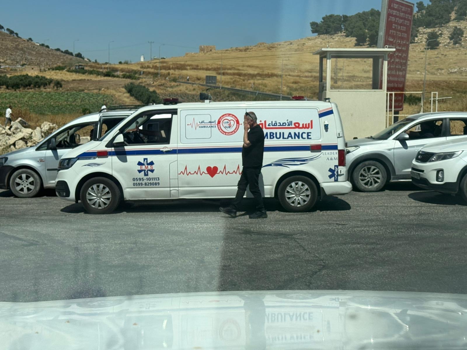 Yael ZoranJun-18-2026An ambulance is waiting in front of the closed checkpoint in El-Fawwar
-