
Hebron, Sansana (Meitar Crossing), South Hebron Hills, Sun 14.4.13, Morning
Translator: Charles K.
06:30 Most of the laborers at the Sansana checkpoint have already crossed to the Israeli side; dozens still wait for their rides. Next to the revolving gate we meet a CPT representative. He says about 4,000 people crossed this morning, without any unusual incidents. A short distance along Highway 60 we see a large sign by the roadside: “Welcome to Har Hebron – Come to visit, come to connect, come to stay.”
We turn onto Highway 317 and…”Fulfill your dreams in Sussiya,” flags of the homeland waving gently along the road in the morning breeze. The highway is empty, deserted, as is the little village of a-Taywwani. We stopped next to the “archaeological excavations” carried out about a year ago. We looked around – the excavations are fine! And the landowner, who wanted only to lay a water line in order to have flowing water at home was”granted” a dubious structure for his sheep. But water? Nope.
We wanted to accompany the children on their way to school but it was too early so we drove on to Hebron.
We passed the Carmel settlement where a sign proclaims “Carmel’s new neighborhood – 13 housing units;” construction is well-advanced. Just this morning Ha’aretz reported that the Americans gave their tacit consent to construction “only in the large blocs.” Is Carmel also in one of the “large blocs”?
We drive on. Poor villages line the road. A woman carries a pail of water on her head and holds a second in her hand, just like in the … 16th century… Along the road, before Zif junction, dozens of children walk to school.
Hebron.
The Ja’abari family built an additional house near the beginning of the Kiryat Arba –Hebron road. We hope it will stand a long time.
On the upper road past Beit Hameriva/Hashalom is a roadblock where some Palestinian cars whose drivers have crossing permits are allowed to stop, the driver may lift the roadblock, go through, then replace it without having to “bother” the soldiers guarding the house, and thus be able to use the road. But they’re only a chosen few. Most have to take a detour on a bumpy road restricted to Palestinians…
“There’s no limit to idiocy,” Yael says.
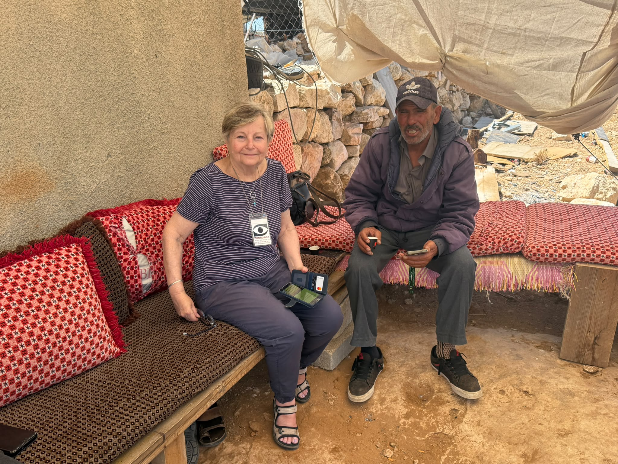
CPT women at the Pharmacy checkpoint tell us that Issa was arrested the day Obama met Abu Mazen and has been in jail since. They don’t know what happened to him. They also said children told them that in a booth at one of the crossings where they’re often stopped to have their schoolbags inspected there are photos of children on the wall and many times they’re asked to identify the children in the photos and asked their names. We promised to try and find out what’s going on. They also said that during 65 days, 45 children had been arrested! We later phoned a local acquaintance to find out where Issa is. It turns out he had been held for two days and then released without having been charged with anything.
We saw new signs at Tel Rumeida (only in Hebrew, of course) directing visitors “To the tombs of Yishai and Ruth – to Admot Yishai.”
There’s also a large new sign on Shuhadah Street (“King David Street,” according to Anat Cohen) at the corner of the Avraham Avinu neighborhood: “The ancient Jewish Quarter Avraham Avinu Synagogue.”
Hebron
See all reports for this place-
According to Wye Plantation Accords (1997), Hebron is divided in two: H1 is under Palestinian Authority control, H2 is under Israeli control. In Hebron there are 170,000 Palestinian citizens, 60,000 of them in H2. Between the two areas are permanent checkpoints, manned at all hours, preventing Palestinian movement between them and controlling passage of permit holders such as teachers and schoolchildren. Some 800 Jews live in Avraham Avinu Quarter and Tel Rumeida, on Givat HaAvot and in the wholesale market.
Checkpoints observed in H2:
- Bet Hameriva CP- manned with a pillbox
- Kapisha quarter CP (the northern side of Zion axis) - manned with a pillbox
- The 160 turn CP (the southern side of Zion axis) - manned with a pillbox
- Avraham Avinu quarter - watch station
- The pharmacy CP - checking inside a caravan with a magnometer
- Tarpat (1929) CP - checking inside a caravan with a magnometer
- Tel Rumeida CP - guarding station
- Beit Hadassah CP - guarding station
Three checkpoints around the Tomb of the Patriarchs
 Muhammad D.May-13-2026Hebron - Request for compensation for land expropriation
-
Meitar checkpoint / Sansana
See all reports for this place-
Meitar Checkpoint / Sansana The checkpoint is located on the Green Line and serves as a border crossing between Israel and the West Bank. It is managed by the Border Crossing Authority of the Defense Ministry. It is comprised of sections for the transfer of goods as well as a vehicle checkpoint (intended for holders of blue identity cards, foreign nationals or diplomats and international organizations). Passing of Palestinians is prohibited, except for those with entry permits to Israel. Palestinians are permitted to cross on foot only. The crossing has a DCO / DCL / DCL / DCL (District Coordination Office), a customs unit, supervision, and a police unit. In the last year, a breach has been opened in the fence, not far from the crossing. This breach is known to all, including the army. There does not appear to be any interest in blocking it, probably as it permits needed Palestinian workers without the bureaucratic permits to get to work in Israel. Food stalls and a parking area economy have been created, but incidents of violent abuse by border police have also been recorded. Updated April 2022
-
South Hebron Hills
See all reports for this place-
South Hebron Hills
South Hebron Hills is a large area in the West Bank's southern part.
Yatta is a major city in this area: right in the border zone between the fertile region of Hebron and its surroundings and the desert of the Hebron Hills. Yatta has about 64,000 inhabitants.
The surrounding villages are called Masafer Yatta (Yatta's daughter villages). Their inhabitants subsist on livestock and agriculture. Agriculture is possible only in small plots, especially near streams. Most of the area consists of rocky terraces.Since the beginning of the 1980s, many settlements have been established on the agricultural land cultivated by the Palestinians in the South Hebron Hills region: Carmel, Maon, Susia, Masadot Yehuda, Othniel, and more. Since the settlements were established and Palestinians cultivation areas have been reduced; the residents of the South Hebron Hills have been suffering from harassment by the settlers. Attempts to evict and demolish houses have continued, along with withholding water and electricity. The military and police usually refrain from intervening in violent incidents between settlers and Palestinians do not enforce the law when it comes to the investigation of extensive violent Jewish settlers. The harassment in the South Hebron Hills includes attacking and attempting to burn residential tents, harassing dogs, harming herds, and preventing access to pastures.
There are several checkpoints in the South Hebron Hills, on Routes 317 and 60. In most of them, no military presence is apparent, but rather an array of pillboxes monitor the villages. Roadblocks are frequently set up according to the settlers and the army's needs. These are located at the Zif Junction, the Dura-al Fawwar crossing, and the Sheep Junction at the southern entrance to Hebron.
Updated April 2022
 Muhammad D.Jul-12-2026Smadar with Taleb on duty at Qawawis
-