
Hebron, Sansana (Meitar Crossing), South Hebron Hills, Susiya, Mon 26.11.12, Morning

Translator: Charles K.
08:30 – 13:30
Overall there’s no military presence today and the occupation routine continues with all its might.
Meitar crossing
Four buses with relatives of prisoners are on their way out. The parking lot is full; many people are looking for Sylvia.
Highway 317
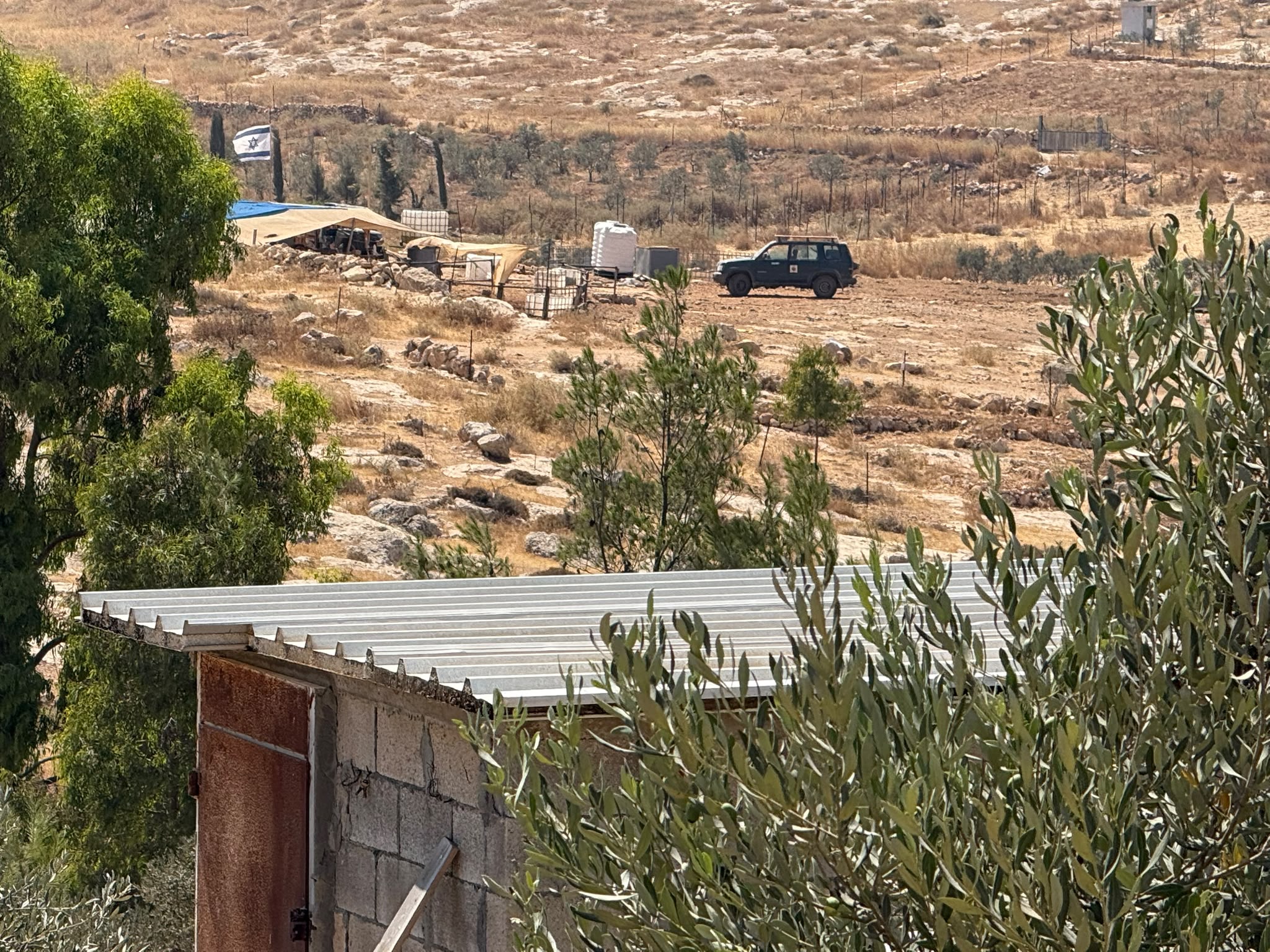
We went into a school in the Palestinian locality of Suosiya. They’d worked on the road which was now relatively easy to drive on. Autumn crocuses and new grass sprout – a festival for the sheep.
The teachers complain, justifiably, that every morning on their way to school from Yatta the soldiers (now reservists, apparently) come down and detain them. Each time they’re asked for their teaching certificates and are always yelled at. We’ll try to get there at around 07:30 to see. The principal was in Ramallah today; his replacement approached us with a girl who was afraid to look us in the eye. Her mother and father had been beaten by settlers!! No hug from another Israeli does any good in a situation like this.
Highway 356
We went to the village of Darat, a short distance beyond the garbage dump, before Zif junction. A magnificent house was demolished there yesterday that had been built six months ago. Other houses nearby had already received demolition orders in 2004 but nothing happened. There’s a kindergarten behind the demolished house. The whole village is in contact with an attorney from Bethlehem who’s dealing with these matters. The “logic” behind the demolition is that the buildings were on private property and hadn’t received permits because they weren’t included in the village “authorized outline plan”…but of course, the village doesn’t have an “authorized outline plan.” And does anyone really believe that if they’d asked for a permit they’d have received one? You can see the real reason at this link: http://www.haaretz.co.il/news/politics/1.1873365#.ULNHNXiSAS4.facebook
We met locals who told us a white jeep from the Civil Administration had come this morning and photographed all the buildings in the neighborhood.
We gave them our telephone numbers in case something else occurs, and drove on.

Hebron
Children coming out of school… Again we see the wheelchairs of the girls from the Al-Fahiyya school and the teachers coming through the narrow opening at the Tarpa”t checkpoint… There’s nothing new under the sun, nor, except for a tour by supporters of the settlers, are there any tourists.
One’s heart aches
Hebron
See all reports for this place-
According to Wye Plantation Accords (1997), Hebron is divided in two: H1 is under Palestinian Authority control, H2 is under Israeli control. In Hebron there are 170,000 Palestinian citizens, 60,000 of them in H2. Between the two areas are permanent checkpoints, manned at all hours, preventing Palestinian movement between them and controlling passage of permit holders such as teachers and schoolchildren. Some 800 Jews live in Avraham Avinu Quarter and Tel Rumeida, on Givat HaAvot and in the wholesale market.
Checkpoints observed in H2:
- Bet Hameriva CP- manned with a pillbox
- Kapisha quarter CP (the northern side of Zion axis) - manned with a pillbox
- The 160 turn CP (the southern side of Zion axis) - manned with a pillbox
- Avraham Avinu quarter - watch station
- The pharmacy CP - checking inside a caravan with a magnometer
- Tarpat (1929) CP - checking inside a caravan with a magnometer
- Tel Rumeida CP - guarding station
- Beit Hadassah CP - guarding station
Three checkpoints around the Tomb of the Patriarchs
 Muhammad D.May-13-2026Hebron - Request for compensation for land expropriation
-
Meitar checkpoint / Sansana
See all reports for this place-
Meitar Checkpoint / Sansana The checkpoint is located on the Green Line and serves as a border crossing between Israel and the West Bank. It is managed by the Border Crossing Authority of the Defense Ministry. It is comprised of sections for the transfer of goods as well as a vehicle checkpoint (intended for holders of blue identity cards, foreign nationals or diplomats and international organizations). Passing of Palestinians is prohibited, except for those with entry permits to Israel. Palestinians are permitted to cross on foot only. The crossing has a DCO / DCL / DCL / DCL (District Coordination Office), a customs unit, supervision, and a police unit. In the last year, a breach has been opened in the fence, not far from the crossing. This breach is known to all, including the army. There does not appear to be any interest in blocking it, probably as it permits needed Palestinian workers without the bureaucratic permits to get to work in Israel. Food stalls and a parking area economy have been created, but incidents of violent abuse by border police have also been recorded. Updated April 2022
-
South Hebron Hills
See all reports for this place-
South Hebron Hills
South Hebron Hills is a large area in the West Bank's southern part.
Yatta is a major city in this area: right in the border zone between the fertile region of Hebron and its surroundings and the desert of the Hebron Hills. Yatta has about 64,000 inhabitants.
The surrounding villages are called Masafer Yatta (Yatta's daughter villages). Their inhabitants subsist on livestock and agriculture. Agriculture is possible only in small plots, especially near streams. Most of the area consists of rocky terraces.Since the beginning of the 1980s, many settlements have been established on the agricultural land cultivated by the Palestinians in the South Hebron Hills region: Carmel, Maon, Susia, Masadot Yehuda, Othniel, and more. Since the settlements were established and Palestinians cultivation areas have been reduced; the residents of the South Hebron Hills have been suffering from harassment by the settlers. Attempts to evict and demolish houses have continued, along with withholding water and electricity. The military and police usually refrain from intervening in violent incidents between settlers and Palestinians do not enforce the law when it comes to the investigation of extensive violent Jewish settlers. The harassment in the South Hebron Hills includes attacking and attempting to burn residential tents, harassing dogs, harming herds, and preventing access to pastures.
There are several checkpoints in the South Hebron Hills, on Routes 317 and 60. In most of them, no military presence is apparent, but rather an array of pillboxes monitor the villages. Roadblocks are frequently set up according to the settlers and the army's needs. These are located at the Zif Junction, the Dura-al Fawwar crossing, and the Sheep Junction at the southern entrance to Hebron.
Updated April 2022
 Muhammad D.Jul-23-2026The new settlement, starting June 1, 2026, opposite Khallet al-Humus.
-
Susiya
See all reports for this place-
Susiya The Palestinian area lies between the settlement of Susya and a military base. The residents began to settle in areas outside the villages in the 1830s and lived in caves, tents and sukkot. To this day they maintain a traditional lifestyle and their livelihood is based on agriculture and herding. Until the 1948 war, the farmers cultivated areas that extended to the Arad area. As a result of the war, a significant portion of their land left on the Israeli side was lost. After the 1967 war and the Israeli occupation, military camps were established in the area, fire zones and nature reserves were declared, and the land area was further reduced. The Jewish settlement in Susya began in 1979. Since then, there has been a stubborn struggle to remove the remains of Palestinian residents who refuse to leave their place of birth and move to nearby town Yatta. With the development of a tourist site in Khirbet Susya in the late 1980s (an ancient synagogue), dozens of families living in caves in its vicinity were deported. In the second half of the 1990s, a new form of settlement developed in the area - shepherds' farms of individual settlers. This phenomenon increased the tension between the settlers and the original, Palestinian residents, and led to repeated harassment of the residents of the farms towards the Palestinians. At the same time, demolition of buildings and crop destruction by security forces continued, as well as water and electricity prevention. In the Palestinian Susya, as in a large part of the villages of the southern Hebron Mountains, there is no running water, but the water pipe that supplies water to the Susya Jewish settlement passes through it. Palestinians have to buy expensive water that comes in tankers. Solar electricity is provided by a collector system, installed with donation funds. But the frequent demolitions in the villages do not spare water cisterns or the solar panels and power poles designed to transfer solar electricity between the villages. Updated April 2021, Anat T.
-
