
Hebron, Sansana (Meitar Crossing), South Hebron Hills, Tue 20.12.11, Morning
Sansana-Meitar
Checkpoint is clear. A long line of trucks waits at the check-out and seems to move quickly.
Route 60
Lively but there sure are some lousy drivers around here, Israelis and Palestinians alike.
Bani Naim: We came here first: a large village close to Hebron where settlers had defaced a mosque. We found the mosque alright but at first couldn't locate the damage until the Imam appeared (the grapevine really works out there!) and showed us a side wall where the scarlet letters were already obliterated by — more red paint. (see photos). The imam and his people thought the perpetrators came from Yitzhar but its more likely that this was a local job. It should be said that the Imam and his companions received us most graciously, explalined patiently to the three (!) translators – among whom Netanya shone out with her Arabic – and they even embarassingly thanked us for coming. Netanya expressed our regrets for the vandalism.
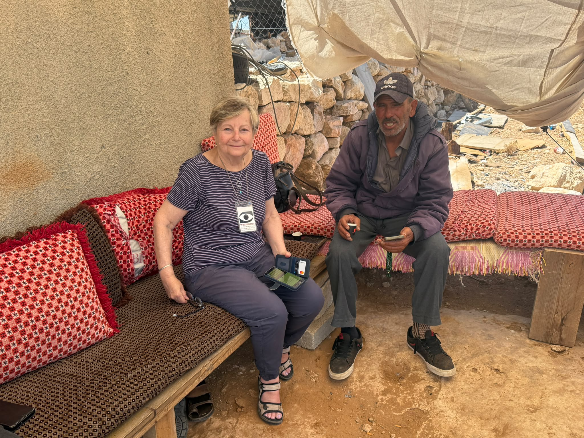
Um Farqa is our next stop: a tiny, desolate hamlet between Tuwani and the Maon settlement where the Civil Administration had destroyed the mosque, several residential buildings and a room that had been added on to a cave dwelling, as well as all the electricity poles between the village and Tuwani. Iin the process destroying the peace of this impoverished place. The Sheik kindly gave us a tour of the devastation (see pics of mosque rubble). At one point a figure was seen striding across the hills from Tuwani. The locals froze on the spot and only relaxed when it transpired that this was an "Arab". The fear of the Lords of the Land lies heavy in these parts, and with good reason.
Two girls from the village were arrested during the demolition, however they were released and the trial of the older one, Souan, took place on 19.12.11 – please see Ehud Krinis' report circulated on the reshet.
Next stop on this other planet was Givat HaAntenna – Antenna Hill, another desolate spot not far from Hebron. A smooth road leads up to the hilltop, not paved but clearly rolled out with heavy equipment. This was the site of the murder of two guards (guarding the antenna) and has been turned into a memorial for them. (see photos with their names), The hilltop boasts a (tattered) Israeli flag and a little gazebo which announces itself as a place of prayer. In the middle of the gazebo is something that looks suspiciously like a sacrificial altar, but it may be a bima for a Torah scroll, to be fair. A small plot of ploughed earth lies close by: watch this spot for a new outpost may sprout up here one of these days. This is how these things begin…And judging by the amount of garbage lying around the place is well used.
Finally, for how could we not get our weekly fix of ghtost town, a quick spin around Hebron. Two Border policepeople (a man and a woman) munching snadwiches and drinking coke at the entrance/exit to the Worshippers Alley, On Shuhada street several men in shorts are jogging incongruously, while a platoon (?) of paratroopers patrols the street with drawn weapons, showing the natives who is in charge. At the Cordoba school steps which are now marked as a national monument, a group of elderly Jews is strugglling upwards, some of them give up and come down again while an energetic guide jolly's them on. Clearly, the intention is to drive the Cordoba people out of their minds by making a nature reserve out of their neighbourhood, and no doubt eventually they will give in and go away, or perhaps not. Maybe the steps will prove too much for the elderly tourists and the Ministry of Education will have to make it a compulsory route for School certificate completion.
Thursday, 22.12.11
Netanya and I joined a Shovrim Shtika/Breaking the Silence tour of Hebron (that's reall addiction!) – fascinating since we went in under police protection, were only harassed (by the police) three times for our ID's and once by a paratrooper, who agreed to compromise and see the identification only of the guide. We peeped into the Casbah – desolate and deserted, climbed up to Jewish Tel-Romeida where our 'protectors' abandoned us by the so-called 'Cage House' and we took the roundabout route that Palestinians are forced to use to reach their homes nearby. Very picturesque and rather beautiful with really ancient olive trees but heaven help anyone taken ill, in labour, carrying heavy bags or coming home at night – no vehicle access is possible and the ground is thick with tree roots, stones and the inevitable garbage all waiting to trip you up. It was salutory to be reminded of the historic development of the Jewish settlement in Hebron and hear again the details of government and army policy of closure-checkpoint-curfew that has made the city of Abraham a ghost town. The tour lasted three and a half hours and is highly recommended to anyone interested in knowing the minutae of how the occupation works and of which Hebron is merely the outstanding example. We also met Anat Cohen but she was berating a paratrooper (they seem to be the people on the ground currently) and we were able to evade direct contact.
Hebron
See all reports for this place-
According to Wye Plantation Accords (1997), Hebron is divided in two: H1 is under Palestinian Authority control, H2 is under Israeli control. In Hebron there are 170,000 Palestinian citizens, 60,000 of them in H2. Between the two areas are permanent checkpoints, manned at all hours, preventing Palestinian movement between them and controlling passage of permit holders such as teachers and schoolchildren. Some 800 Jews live in Avraham Avinu Quarter and Tel Rumeida, on Givat HaAvot and in the wholesale market.
Checkpoints observed in H2:
- Bet Hameriva CP- manned with a pillbox
- Kapisha quarter CP (the northern side of Zion axis) - manned with a pillbox
- The 160 turn CP (the southern side of Zion axis) - manned with a pillbox
- Avraham Avinu quarter - watch station
- The pharmacy CP - checking inside a caravan with a magnometer
- Tarpat (1929) CP - checking inside a caravan with a magnometer
- Tel Rumeida CP - guarding station
- Beit Hadassah CP - guarding station
Three checkpoints around the Tomb of the Patriarchs
 Muhammad D.May-13-2026Hebron - Request for compensation for land expropriation
-
Meitar checkpoint / Sansana
See all reports for this place-
Meitar Checkpoint / Sansana The checkpoint is located on the Green Line and serves as a border crossing between Israel and the West Bank. It is managed by the Border Crossing Authority of the Defense Ministry. It is comprised of sections for the transfer of goods as well as a vehicle checkpoint (intended for holders of blue identity cards, foreign nationals or diplomats and international organizations). Passing of Palestinians is prohibited, except for those with entry permits to Israel. Palestinians are permitted to cross on foot only. The crossing has a DCO / DCL / DCL / DCL (District Coordination Office), a customs unit, supervision, and a police unit. In the last year, a breach has been opened in the fence, not far from the crossing. This breach is known to all, including the army. There does not appear to be any interest in blocking it, probably as it permits needed Palestinian workers without the bureaucratic permits to get to work in Israel. Food stalls and a parking area economy have been created, but incidents of violent abuse by border police have also been recorded. Updated April 2022
-
South Hebron Hills
See all reports for this place-
South Hebron Hills
South Hebron Hills is a large area in the West Bank's southern part.
Yatta is a major city in this area: right in the border zone between the fertile region of Hebron and its surroundings and the desert of the Hebron Hills. Yatta has about 64,000 inhabitants.
The surrounding villages are called Masafer Yatta (Yatta's daughter villages). Their inhabitants subsist on livestock and agriculture. Agriculture is possible only in small plots, especially near streams. Most of the area consists of rocky terraces.Since the beginning of the 1980s, many settlements have been established on the agricultural land cultivated by the Palestinians in the South Hebron Hills region: Carmel, Maon, Susia, Masadot Yehuda, Othniel, and more. Since the settlements were established and Palestinians cultivation areas have been reduced; the residents of the South Hebron Hills have been suffering from harassment by the settlers. Attempts to evict and demolish houses have continued, along with withholding water and electricity. The military and police usually refrain from intervening in violent incidents between settlers and Palestinians do not enforce the law when it comes to the investigation of extensive violent Jewish settlers. The harassment in the South Hebron Hills includes attacking and attempting to burn residential tents, harassing dogs, harming herds, and preventing access to pastures.
There are several checkpoints in the South Hebron Hills, on Routes 317 and 60. In most of them, no military presence is apparent, but rather an array of pillboxes monitor the villages. Roadblocks are frequently set up according to the settlers and the army's needs. These are located at the Zif Junction, the Dura-al Fawwar crossing, and the Sheep Junction at the southern entrance to Hebron.
Updated April 2022
 Muhammad D.Jul-12-2026Smadar with Taleb on duty at Qawawis
-