
Hebron, South Hebron Hills
Southern Hebron hills and Hebron
What the signs of the settlers tell us in Hebron and what the Palestinian souvenirs tell us.
In Hebron today all is quiet. There are hardly any passersby. The soldiers at their posts look for shade.
A walled sity , dusty and conquered. Every now and again something which is happening under the heel of the conqueror bursts out. There is no ending in sight.
I had time again to look at the signs , at the written words and pictures which had been chosen by the settlers and what the Palestinians on the other hand feel and which is not written.
The Shuhada street is now officially called David Street by the Lords of the Land as it is written that King David sat in Hebron for seven years.
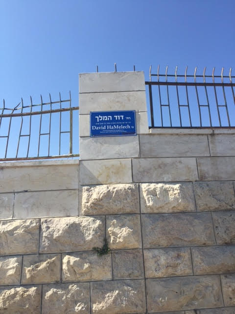
And how does one explain that everything is shuttered and closed with signs. And what is happening in the industrial market? And what is written on the Visitor’s center next to the Cave of the Patriarchs.
“Yifat light of the holy city of the fathers, wonderful city of Kiryat Arba, which is Hebron …….”
And opposite the souvenir shop of Abed with all the usual souveneirs. Magnets, magnets, magnets and on them is written, “The dove of peace which has been shot, a child flying a balloon with a red heart, a child with a large garland of balloons which fly her high over the wall, a Palestinian fighter who throws…..a bunch of flowers.


Also on the small tray without the usual Hebron tiles ….which seems to express the thoughts of hope.
Hebron
See all reports for this place-
According to Wye Plantation Accords (1997), Hebron is divided in two: H1 is under Palestinian Authority control, H2 is under Israeli control. In Hebron there are 170,000 Palestinian citizens, 60,000 of them in H2. Between the two areas are permanent checkpoints, manned at all hours, preventing Palestinian movement between them and controlling passage of permit holders such as teachers and schoolchildren. Some 800 Jews live in Avraham Avinu Quarter and Tel Rumeida, on Givat HaAvot and in the wholesale market.
Checkpoints observed in H2:
- Bet Hameriva CP- manned with a pillbox
- Kapisha quarter CP (the northern side of Zion axis) - manned with a pillbox
- The 160 turn CP (the southern side of Zion axis) - manned with a pillbox
- Avraham Avinu quarter - watch station
- The pharmacy CP - checking inside a caravan with a magnometer
- Tarpat (1929) CP - checking inside a caravan with a magnometer
- Tel Rumeida CP - guarding station
- Beit Hadassah CP - guarding station
Three checkpoints around the Tomb of the Patriarchs
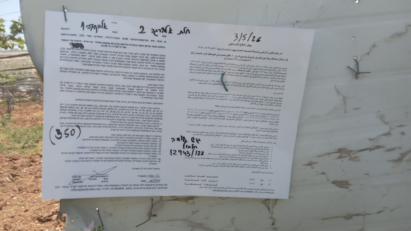 Muhammad D.May-13-2026Hebron - Request for compensation for land expropriation
-
South Hebron Hills
See all reports for this place-
South Hebron Hills
South Hebron Hills is a large area in the West Bank's southern part.
Yatta is a major city in this area: right in the border zone between the fertile region of Hebron and its surroundings and the desert of the Hebron Hills. Yatta has about 64,000 inhabitants.
The surrounding villages are called Masafer Yatta (Yatta's daughter villages). Their inhabitants subsist on livestock and agriculture. Agriculture is possible only in small plots, especially near streams. Most of the area consists of rocky terraces.Since the beginning of the 1980s, many settlements have been established on the agricultural land cultivated by the Palestinians in the South Hebron Hills region: Carmel, Maon, Susia, Masadot Yehuda, Othniel, and more. Since the settlements were established and Palestinians cultivation areas have been reduced; the residents of the South Hebron Hills have been suffering from harassment by the settlers. Attempts to evict and demolish houses have continued, along with withholding water and electricity. The military and police usually refrain from intervening in violent incidents between settlers and Palestinians do not enforce the law when it comes to the investigation of extensive violent Jewish settlers. The harassment in the South Hebron Hills includes attacking and attempting to burn residential tents, harassing dogs, harming herds, and preventing access to pastures.
There are several checkpoints in the South Hebron Hills, on Routes 317 and 60. In most of them, no military presence is apparent, but rather an array of pillboxes monitor the villages. Roadblocks are frequently set up according to the settlers and the army's needs. These are located at the Zif Junction, the Dura-al Fawwar crossing, and the Sheep Junction at the southern entrance to Hebron.
Updated April 2022
 Muhammad D.Jul-13-2026Michal with O.
-