
Hebron, South Hebron Hills
We entered the Palestinian territory through the gate to the road leading to Negohot and Hursa. If our driver,M., had been traveling alone without Israelis, he would not have been allowed to enter.
Today, the settlement of Negohot extends over three hills that are far apart from each other on Palestinian land. One hill is an agricultural farm and two are residential. This is the way to take control of the land and expel the Palestinians from their land.
We visited the people in the Palestinian house next to the pillbox. The people there are fasting before the holiday. They tell us again about their drop in income from the stores because people are afraid to stop by the pillbox, about arrests of young people and their being kept under arrest and then released for no particular reason. About night walks in the village. The occupation in all its glory.
Development is taking place on Hill 22 in northern Kiryat Arba. Again the same method of the octopus with the tentacles spread out. There is already an observation point and garbage containers. Hill of the Messenger, the settlers call it. There are no people today but flags and barbed wire fences. And very much so, a ban on Palestinians entering.
There are hardly any people in the streets and those who do so are immediately stopped by a Border policeman who today checks everyone. We went up to the spring and then got to the Cordoba school from the back.
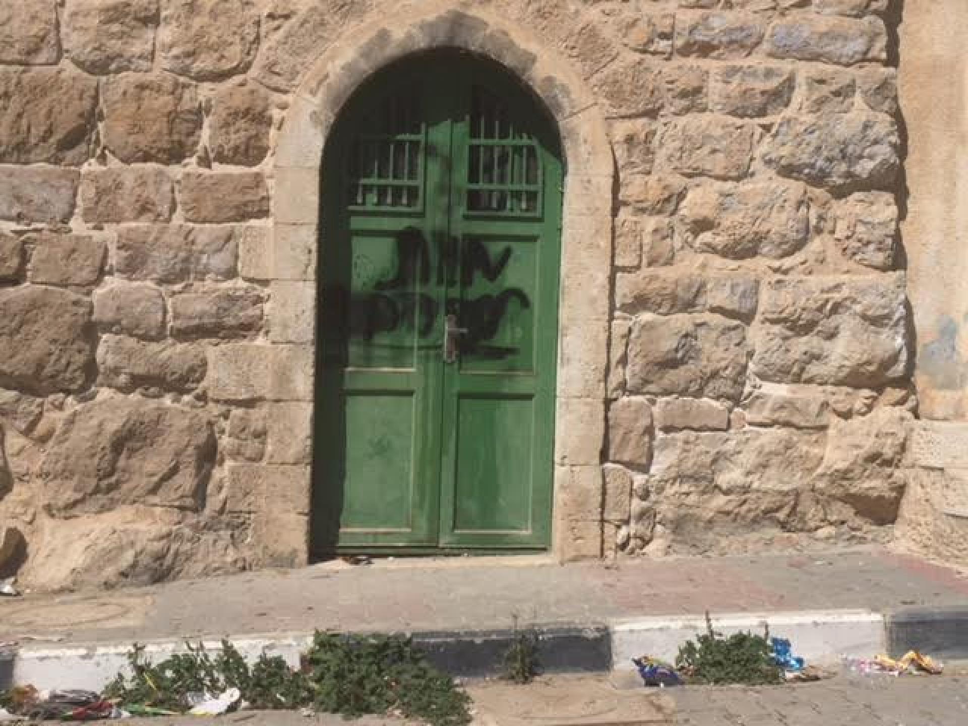
The doors of the houses are covered with slogans as you can see in the picture below. The area of the trees of the Cordoba school are a mass of thorns. The settlers burned the trees which were planted. How much strength is needed to plant each time anew. The settlers adorned the stairs that led to the Cordoba school with potted plants. Apartheid is perfect here.
There are new flags which remain in the alley that descends to the Hebron Yeshiva. Remnants from last week’s flag parade.
The picture below is at the entrance to the base in Hebron. These are the future plans for the place. The process of building approval is still under discussion in the courts.
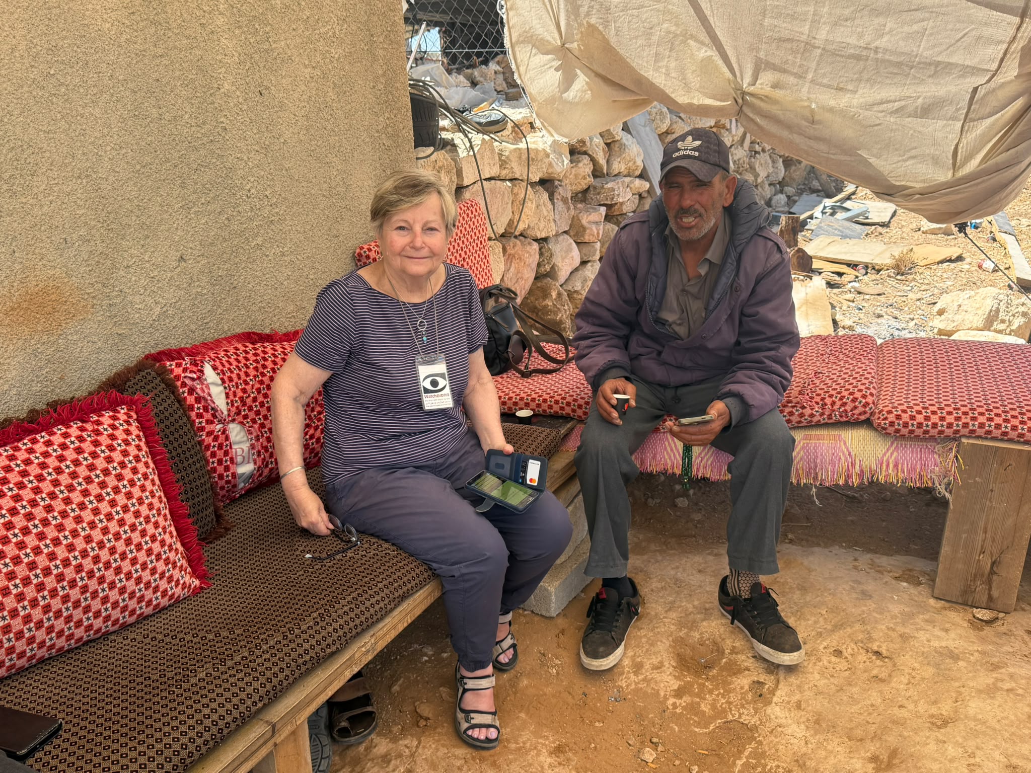
On our way out of Hebron, we see a sign directing to the observation point The Three and to Ma’ayan Hai. We go to the Tamimi home to ask him exactly where he is. It turns out that it lies below the antenna hill and water pools. This is the new amusement park for the people of Kiryat Arba. We meet girls from Kiryat Arba who came to swim. The pool is located on private Palestinian land but for who cares. Tamimi tells us that every Friday dozens of cars arrive there. The main thing is to immerse and purify. They will not be cleansed so quickly from the horror of the occupation.
Besides, we shot a video in which Tamimi told Nima what happened at the wedding of his two sons two weeks ago.
You can see the video in the following link:
http://www.youtube.com/watch?v=Spew1IH45pU
This is all for the moment.
Hebron
See all reports for this place-
According to Wye Plantation Accords (1997), Hebron is divided in two: H1 is under Palestinian Authority control, H2 is under Israeli control. In Hebron there are 170,000 Palestinian citizens, 60,000 of them in H2. Between the two areas are permanent checkpoints, manned at all hours, preventing Palestinian movement between them and controlling passage of permit holders such as teachers and schoolchildren. Some 800 Jews live in Avraham Avinu Quarter and Tel Rumeida, on Givat HaAvot and in the wholesale market.
Checkpoints observed in H2:
- Bet Hameriva CP- manned with a pillbox
- Kapisha quarter CP (the northern side of Zion axis) - manned with a pillbox
- The 160 turn CP (the southern side of Zion axis) - manned with a pillbox
- Avraham Avinu quarter - watch station
- The pharmacy CP - checking inside a caravan with a magnometer
- Tarpat (1929) CP - checking inside a caravan with a magnometer
- Tel Rumeida CP - guarding station
- Beit Hadassah CP - guarding station
Three checkpoints around the Tomb of the Patriarchs
 Muhammad D.May-13-2026Hebron - Request for compensation for land expropriation
-
South Hebron Hills
See all reports for this place-
South Hebron Hills
South Hebron Hills is a large area in the West Bank's southern part.
Yatta is a major city in this area: right in the border zone between the fertile region of Hebron and its surroundings and the desert of the Hebron Hills. Yatta has about 64,000 inhabitants.
The surrounding villages are called Masafer Yatta (Yatta's daughter villages). Their inhabitants subsist on livestock and agriculture. Agriculture is possible only in small plots, especially near streams. Most of the area consists of rocky terraces.Since the beginning of the 1980s, many settlements have been established on the agricultural land cultivated by the Palestinians in the South Hebron Hills region: Carmel, Maon, Susia, Masadot Yehuda, Othniel, and more. Since the settlements were established and Palestinians cultivation areas have been reduced; the residents of the South Hebron Hills have been suffering from harassment by the settlers. Attempts to evict and demolish houses have continued, along with withholding water and electricity. The military and police usually refrain from intervening in violent incidents between settlers and Palestinians do not enforce the law when it comes to the investigation of extensive violent Jewish settlers. The harassment in the South Hebron Hills includes attacking and attempting to burn residential tents, harassing dogs, harming herds, and preventing access to pastures.
There are several checkpoints in the South Hebron Hills, on Routes 317 and 60. In most of them, no military presence is apparent, but rather an array of pillboxes monitor the villages. Roadblocks are frequently set up according to the settlers and the army's needs. These are located at the Zif Junction, the Dura-al Fawwar crossing, and the Sheep Junction at the southern entrance to Hebron.
Updated April 2022
 Muhammad D.Jul-12-2026Smadar with Taleb on duty at Qawawis
-