
Hebron, South Hebron Hills, Mon 10.12.12, Morning
Translator: Charles K.
Southern Hebron Hills
We drove to Hebron on Highway 317 to see the demolished mosque at Umm Faqra. We took the road up to Mitzpeh Aviga’il, where there are also signs of growth and development.
A convoy of Border Police vehicles descends toward us. “Stop,” they order us. “We have to check who you are.”
They speak aggressively, determinedly carrying out their mission, request the ID of M., our driver. “Take ours also” we demand, as usual. “No problem, we’ll check your IDs also.”
“Could you not yell?,” we ask. “Address us quietly.”
“OK, OK,” they reply, lowering the volume, making an effort.
We can make such a request, but our driver is angry because he sees, hears and feels exactly the tone of voice saved for someone who isn’t Jewish.
They ask us to return to the main road until they complete their check. They say we’re blocking the road [their photos are on our Facebook page; Hagit took them]. A few minutes pass, they return our IDs and drive off.
We now drive up to Umm Faqra, located on the southern slopes of the Ma’on settlement. Ma’on is continually growing and expanding but its Palestinian neighbors aren’t entitled to anything – neither an outline building plan nor construction permits.
About two weeks ago the mosque built by the residents, on the ruins of a mosque demolished a year ago, was demolished.
The residents show us the “villa” being built by one of the villagers. It’s a small, two-room brick building, already inhabited. The man says he’s already received a stop-work order. This windswept area is freezing cold at night. How do they manage with small children? He also planted almond saplings next to the house. The newly-sprouted crocuses paint the earth pink. They want us to take photographs and hope that will help. So do we.
A military Hammer drives somewhere on the hills, “looking for people illegally in Israel.” This time the vehicle turned off, didn’t enter the village but continued toward a-Tawwani on the other side of the hill where the settlers of Ma’on and Ma’on farm live.
How much evil is it possible to see in half an hour?
Back to the road to Hebron. An observation balloon overhead.
Hebron
Hebron is quiet, the children in school. The settlers’ children are on vacation, not yet hanging around outside.
A squad of soldiers patrols only Shuhada Street this time. A large group of soldiers from some course stand at the entrance to the Tarpa”t museum. They’re here for a history lesson.
They’ll never be brought to meet Palestinian residents of Hebron. They’ll only hear about them in one context.
Everything’s as usual at the checkpoints.
The patrol has reached the stand where settlers offer them coffee and donuts.


Hebron
See all reports for this place-
According to Wye Plantation Accords (1997), Hebron is divided in two: H1 is under Palestinian Authority control, H2 is under Israeli control. In Hebron there are 170,000 Palestinian citizens, 60,000 of them in H2. Between the two areas are permanent checkpoints, manned at all hours, preventing Palestinian movement between them and controlling passage of permit holders such as teachers and schoolchildren. Some 800 Jews live in Avraham Avinu Quarter and Tel Rumeida, on Givat HaAvot and in the wholesale market.
Checkpoints observed in H2:
- Bet Hameriva CP- manned with a pillbox
- Kapisha quarter CP (the northern side of Zion axis) - manned with a pillbox
- The 160 turn CP (the southern side of Zion axis) - manned with a pillbox
- Avraham Avinu quarter - watch station
- The pharmacy CP - checking inside a caravan with a magnometer
- Tarpat (1929) CP - checking inside a caravan with a magnometer
- Tel Rumeida CP - guarding station
- Beit Hadassah CP - guarding station
Three checkpoints around the Tomb of the Patriarchs
 Muhammad D.May-13-2026Hebron - Request for compensation for land expropriation
-
South Hebron Hills
See all reports for this place-
South Hebron Hills
South Hebron Hills is a large area in the West Bank's southern part.
Yatta is a major city in this area: right in the border zone between the fertile region of Hebron and its surroundings and the desert of the Hebron Hills. Yatta has about 64,000 inhabitants.
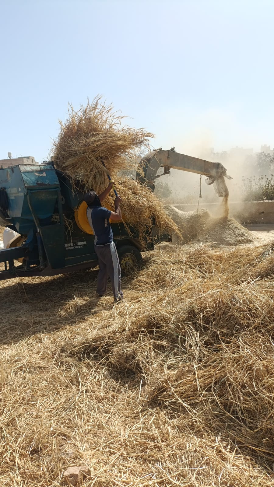
The surrounding villages are called Masafer Yatta (Yatta's daughter villages). Their inhabitants subsist on livestock and agriculture. Agriculture is possible only in small plots, especially near streams. Most of the area consists of rocky terraces.Since the beginning of the 1980s, many settlements have been established on the agricultural land cultivated by the Palestinians in the South Hebron Hills region: Carmel, Maon, Susia, Masadot Yehuda, Othniel, and more. Since the settlements were established and Palestinians cultivation areas have been reduced; the residents of the South Hebron Hills have been suffering from harassment by the settlers. Attempts to evict and demolish houses have continued, along with withholding water and electricity. The military and police usually refrain from intervening in violent incidents between settlers and Palestinians do not enforce the law when it comes to the investigation of extensive violent Jewish settlers. The harassment in the South Hebron Hills includes attacking and attempting to burn residential tents, harassing dogs, harming herds, and preventing access to pastures.
There are several checkpoints in the South Hebron Hills, on Routes 317 and 60. In most of them, no military presence is apparent, but rather an array of pillboxes monitor the villages. Roadblocks are frequently set up according to the settlers and the army's needs. These are located at the Zif Junction, the Dura-al Fawwar crossing, and the Sheep Junction at the southern entrance to Hebron.
Updated April 2022
 Michal TsadikMay-20-2026The noisy machine that disturbs the IDF
-