
Hebron, South Hebron Hills, Mon 13.12.10, Morning
Translator: Charles K.
Meitar crossing
Very few laborers on the Israeli side of the crossing at 06:40 in the morning. The Palestinian side is also empty and there are few cars in the parking lot. The weather is rainy and stormy. Snow on the hills. Probably the agricultural and construction workers don’t come out in such weather. We see on the road two buses with relatives of prisoners.
Route 60
At Samu’a the rain begins (Muhammad and I complain: why doesn’t the rain fall in the Negev? The amount of dust in the Negev is more than our breath can handle). Little girls walk very, very quickly between the drops to school in Deir Razk, and other than us, the buses of the Hebron Development Society (the settlers’ buses), the buses with relatives of prisoners and five military jeeps – there are no cars on the road. The sign to the settlement of Negohot has been removed.
Dura Elfawwar
Soldiers leave the pillbox and set up a flying checkpoint. Five soldiers and a captain who explains to cadets (apparently from an officers training school) how to set up a flying checkpoint. A few cars are detained, trunks are opened, IDs taken. When I ask the commander whether he doesn’t think that it’s better to stay in the pillbox in this rain, he responds seriously: “I’m protecting the settlers.”
(I don’t understand how inspecting and stopping Palestinian cars driving on a road located in their area “protects the settlers,” and how that’s connected to security?! But I don’t argue with him. It’s too cold.)
At the blocked entrance to Hebron at the foot of Beit Haggai – the concrete barrier that had been decorated with blue graffiti reading “Nothing happens there…nothing…” has been painted brown.
An army jeep parked at the curve between Bani Na’im and Hebron.
The entrance to Kiryat Arba
The National Road Company is still paving the festive road to the Cave of the Patriarchs. An army jeep guards the deserted hitchhiking station.
Hebron
Hebron is snowy and cold. When we arrive, the last of the worshippers in the synagogue below the Giv’at Ha’avot neighborhood return to their cars and drive away like mad.
All the soldiers at all the checkpoints are in their booths. It’s pouring and children run to school without being inspected.At the Cave of the Patriarchs checkpoint there are no detainees. Army jeeps parked at Curve 160 and the curve to the Giborei Khevron neighborhood – but there are no passersby and the soldiers don’t get out of the jeeps.
The settlers made themselves a small soccer field in the open space in the wholesale market, and goalposts for mini-soccer stand at each end.
We went to see what was happening at the Zion Route checkpoints – which was supposed to be open freely to Palestinians. The route is closed. The army claims it was too expensive, and there was hardly any Palestinian traffic there. What they don’t say is that it was necessary to obtain a special permit and to go through two checkpoints…that’s free access!? Again and again the injustice cries out to high heaven – how such a large part of Hebron has been turned into a ghost town on behalf of 500 racist Jewish settlers.
Beit Ayun
Hebron – An army jeep parked there, soldiers sitting inside, not coming out.
Route 35
Rain and snow. All the pillboxes are in place, all manned, but no flying checkpoints. We went through Ma’avar Ha’Zayit to the Halhul bridge – the entire bridge is decorated with new signs and advertisements. So something looks normal. We bought olive oil in Tarqumiya and returned home – it was raining until the Beit Kama junction, but not beyond – God also forgot the Negev.
Hebron
See all reports for this place-
According to Wye Plantation Accords (1997), Hebron is divided in two: H1 is under Palestinian Authority control, H2 is under Israeli control. In Hebron there are 170,000 Palestinian citizens, 60,000 of them in H2. Between the two areas are permanent checkpoints, manned at all hours, preventing Palestinian movement between them and controlling passage of permit holders such as teachers and schoolchildren. Some 800 Jews live in Avraham Avinu Quarter and Tel Rumeida, on Givat HaAvot and in the wholesale market.
Checkpoints observed in H2:
- Bet Hameriva CP- manned with a pillbox
- Kapisha quarter CP (the northern side of Zion axis) - manned with a pillbox
- The 160 turn CP (the southern side of Zion axis) - manned with a pillbox
- Avraham Avinu quarter - watch station
- The pharmacy CP - checking inside a caravan with a magnometer
- Tarpat (1929) CP - checking inside a caravan with a magnometer
- Tel Rumeida CP - guarding station
- Beit Hadassah CP - guarding station
Three checkpoints around the Tomb of the Patriarchs
 Muhammad D.May-13-2026Hebron - Request for compensation for land expropriation
-
South Hebron Hills
See all reports for this place-
South Hebron Hills
South Hebron Hills is a large area in the West Bank's southern part.
Yatta is a major city in this area: right in the border zone between the fertile region of Hebron and its surroundings and the desert of the Hebron Hills. Yatta has about 64,000 inhabitants.
The surrounding villages are called Masafer Yatta (Yatta's daughter villages). Their inhabitants subsist on livestock and agriculture. Agriculture is possible only in small plots, especially near streams. Most of the area consists of rocky terraces.Since the beginning of the 1980s, many settlements have been established on the agricultural land cultivated by the Palestinians in the South Hebron Hills region: Carmel, Maon, Susia, Masadot Yehuda, Othniel, and more. Since the settlements were established and Palestinians cultivation areas have been reduced; the residents of the South Hebron Hills have been suffering from harassment by the settlers. Attempts to evict and demolish houses have continued, along with withholding water and electricity. The military and police usually refrain from intervening in violent incidents between settlers and Palestinians do not enforce the law when it comes to the investigation of extensive violent Jewish settlers. The harassment in the South Hebron Hills includes attacking and attempting to burn residential tents, harassing dogs, harming herds, and preventing access to pastures.
There are several checkpoints in the South Hebron Hills, on Routes 317 and 60. In most of them, no military presence is apparent, but rather an array of pillboxes monitor the villages. Roadblocks are frequently set up according to the settlers and the army's needs. These are located at the Zif Junction, the Dura-al Fawwar crossing, and the Sheep Junction at the southern entrance to Hebron.
Updated April 2022
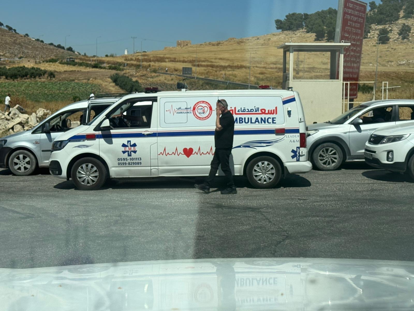 Yael ZoranJun-18-2026An ambulance is waiting in front of the closed checkpoint in El-Fawwar
-