
Hebron, South Hebron Hills, Mon 28.1.13, Morning
Translator: Charles K.
Southern Hebron Hills
Nothing unusual at the Meitar crossing and along Highway 60, until… at the entrance to Deir Razah, which we’ve been glad to see has been open for a long time, a red sign has been erected warning Israelis against entering Area A. We stopped to find out what it means. The sign is, in fact, new, as of yesterday. How come?
A man who lives nearby tells us also about demolition orders issued for a number of buildings.
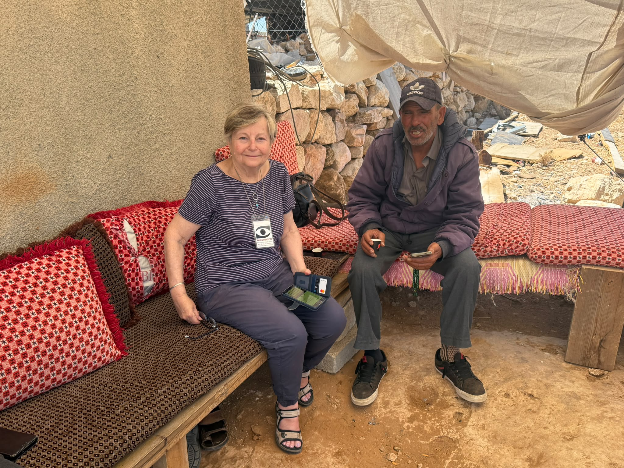
We called our friend N. who lives in the village. “Come, I’ll tell you,” he says. So we drove to his new grocery store.
“Yes,” he says, “the sign was erected yesterday, but about two weeks ago representatives of the Palestinian Authority, together with its engineer and representatives of an engineering firm from El Bireh which had been selected in a tender to develop the area, gathered residents of a number of villages – Deir Razah, Wadi al Shagaheh, Hadab al Fawwar, Khirbet Bisham, Hafayr Bisham, Qarameh and Tarameh – and told them: The lands of all these villages will be divided between Area B and Area C. Deir Razah, for example, has 2500 dunums. “We,” said the engineers, “will leave you 800 dunums for development in Area B, and the remainder will become Area C.” The plan presented to them transfers thousands of dunums belonging to each of the villages to Area C in a way that simply divides the villages in two. They were told that nature preserves and antiquities sites will be protected, but that roads will be paved and public buildings constructed. A 50-year plan.
The same applies to the other villages. The firm’s engineers asked the village representative if they had any objections. The response: “Give us detailed maps specifying the areas, along with detailed explanations, and we’ll tell you what we think.” “Alright,” said the engineers. They need satellite photos, etc. Wait. So they’re waiting “until the clouds disperse,” literally.
N. asks, and answers: These engineers certainly wouldn’t have come without authorization from the Palestinian Authority, but what’s going on here!? Because demolition orders have also been issued for buildings. People feel very bad, they’re very apprehensive and angry because everything’s going on over their heads without their involvement and without any explanation.
While this doesn’t appear to be an example of the Civil Administration’s arbitrary behavior, how can the Palestinian Authority relinquish thousands of dunums without explanation and without informing the residents in advance?
There are many questions and facts that have to be investigated from the legal perspective. So we called Hagit Ofran, from B’Tselem, and asked her to look into it.
We contacted S., a Palestinian attorney from Jerusalem who represents various organizations. He says he knows the people in the El Bireh firm (we have their names) and will look into it. He also suggested we involve people from “Bimkom.” We’ll do so.
Israel citizens are told there aren’t any talks with the Palestinian Authority because there’s allegedly no one to talk to, but suddenly things are happening in the field indicating that some kinds of talks are going on but without informing the local residents, without preserving their rights, and with the likely outcome being more and more of their land being expropriated on behalf of “Greater Israel.”
I can think of many questions to ask. All over the world citizens are being trampled by their corrupt regimes.
Hebron
It’s quiet…quiet. Nothing new under the sun. As of today.
Hebron
See all reports for this place-
According to Wye Plantation Accords (1997), Hebron is divided in two: H1 is under Palestinian Authority control, H2 is under Israeli control. In Hebron there are 170,000 Palestinian citizens, 60,000 of them in H2. Between the two areas are permanent checkpoints, manned at all hours, preventing Palestinian movement between them and controlling passage of permit holders such as teachers and schoolchildren. Some 800 Jews live in Avraham Avinu Quarter and Tel Rumeida, on Givat HaAvot and in the wholesale market.
Checkpoints observed in H2:
- Bet Hameriva CP- manned with a pillbox
- Kapisha quarter CP (the northern side of Zion axis) - manned with a pillbox
- The 160 turn CP (the southern side of Zion axis) - manned with a pillbox
- Avraham Avinu quarter - watch station
- The pharmacy CP - checking inside a caravan with a magnometer
- Tarpat (1929) CP - checking inside a caravan with a magnometer
- Tel Rumeida CP - guarding station
- Beit Hadassah CP - guarding station
Three checkpoints around the Tomb of the Patriarchs
 Muhammad D.May-13-2026Hebron - Request for compensation for land expropriation
-
South Hebron Hills
See all reports for this place-
South Hebron Hills
South Hebron Hills is a large area in the West Bank's southern part.
Yatta is a major city in this area: right in the border zone between the fertile region of Hebron and its surroundings and the desert of the Hebron Hills. Yatta has about 64,000 inhabitants.
The surrounding villages are called Masafer Yatta (Yatta's daughter villages). Their inhabitants subsist on livestock and agriculture. Agriculture is possible only in small plots, especially near streams. Most of the area consists of rocky terraces.Since the beginning of the 1980s, many settlements have been established on the agricultural land cultivated by the Palestinians in the South Hebron Hills region: Carmel, Maon, Susia, Masadot Yehuda, Othniel, and more. Since the settlements were established and Palestinians cultivation areas have been reduced; the residents of the South Hebron Hills have been suffering from harassment by the settlers. Attempts to evict and demolish houses have continued, along with withholding water and electricity. The military and police usually refrain from intervening in violent incidents between settlers and Palestinians do not enforce the law when it comes to the investigation of extensive violent Jewish settlers. The harassment in the South Hebron Hills includes attacking and attempting to burn residential tents, harassing dogs, harming herds, and preventing access to pastures.
There are several checkpoints in the South Hebron Hills, on Routes 317 and 60. In most of them, no military presence is apparent, but rather an array of pillboxes monitor the villages. Roadblocks are frequently set up according to the settlers and the army's needs. These are located at the Zif Junction, the Dura-al Fawwar crossing, and the Sheep Junction at the southern entrance to Hebron.
Updated April 2022
 Muhammad D.Jul-12-2026Smadar with Taleb on duty at Qawawis
-