
Hebron, South Hebron Hills, Sun 30.1.11, Morning
Translator: Charles K.
06:45-09:00
Sansana-Meytar crossing
The laborers have crossed. Prisoners' relatives were waiting (for the bus taking them for a visit) A few agricultural laborers returned because the contractor cancelled due to the rain.
Some of the owners of stands are back. The Civil Administration ignores them, but will again arbitrarily come and fine them. And what happened to their cars? Some hired a lawyer and paid a large fine. One left his at the offices of the Civil Administration, because the amount of the fine equaled the value of the car. An elderly owner of a stand asked us for help. He has no money to pay the fine, or to hire a lawyer. The Civil Administration wasn’t willing to spread out the payments. So the vehicle’s still at their offices. His name is Musa Sama’in Jamari. Is there anything to be done? The despair of a peddler in Tunis led to an uprising.
The army has blocked the exit from Bani Na’im; seven vehicles are waiting. We stopped to watch, and no more than a minute later the ID of the first driver was returned to him (that is, the driver ran over to the army vehicle), and after he drove away the remaining cars went through without having been inspected. On our way back a military vehicle was still parked there but we saw no one detained. That’s where, on our previous shift, soldiers also behaved very rudely.
Hebron
Nothing unusual.
Hebron
See all reports for this place-
According to Wye Plantation Accords (1997), Hebron is divided in two: H1 is under Palestinian Authority control, H2 is under Israeli control. In Hebron there are 170,000 Palestinian citizens, 60,000 of them in H2. Between the two areas are permanent checkpoints, manned at all hours, preventing Palestinian movement between them and controlling passage of permit holders such as teachers and schoolchildren. Some 800 Jews live in Avraham Avinu Quarter and Tel Rumeida, on Givat HaAvot and in the wholesale market.
Checkpoints observed in H2:
- Bet Hameriva CP- manned with a pillbox
- Kapisha quarter CP (the northern side of Zion axis) - manned with a pillbox
- The 160 turn CP (the southern side of Zion axis) - manned with a pillbox
- Avraham Avinu quarter - watch station
- The pharmacy CP - checking inside a caravan with a magnometer
- Tarpat (1929) CP - checking inside a caravan with a magnometer
- Tel Rumeida CP - guarding station
- Beit Hadassah CP - guarding station
Three checkpoints around the Tomb of the Patriarchs
 Muhammad D.May-13-2026Hebron - Request for compensation for land expropriation
-
South Hebron Hills
See all reports for this place-
South Hebron Hills
South Hebron Hills is a large area in the West Bank's southern part.
Yatta is a major city in this area: right in the border zone between the fertile region of Hebron and its surroundings and the desert of the Hebron Hills. Yatta has about 64,000 inhabitants.
The surrounding villages are called Masafer Yatta (Yatta's daughter villages). Their inhabitants subsist on livestock and agriculture. Agriculture is possible only in small plots, especially near streams. Most of the area consists of rocky terraces.Since the beginning of the 1980s, many settlements have been established on the agricultural land cultivated by the Palestinians in the South Hebron Hills region: Carmel, Maon, Susia, Masadot Yehuda, Othniel, and more. Since the settlements were established and Palestinians cultivation areas have been reduced; the residents of the South Hebron Hills have been suffering from harassment by the settlers. Attempts to evict and demolish houses have continued, along with withholding water and electricity. The military and police usually refrain from intervening in violent incidents between settlers and Palestinians do not enforce the law when it comes to the investigation of extensive violent Jewish settlers. The harassment in the South Hebron Hills includes attacking and attempting to burn residential tents, harassing dogs, harming herds, and preventing access to pastures.
There are several checkpoints in the South Hebron Hills, on Routes 317 and 60. In most of them, no military presence is apparent, but rather an array of pillboxes monitor the villages. Roadblocks are frequently set up according to the settlers and the army's needs. These are located at the Zif Junction, the Dura-al Fawwar crossing, and the Sheep Junction at the southern entrance to Hebron.
Updated April 2022
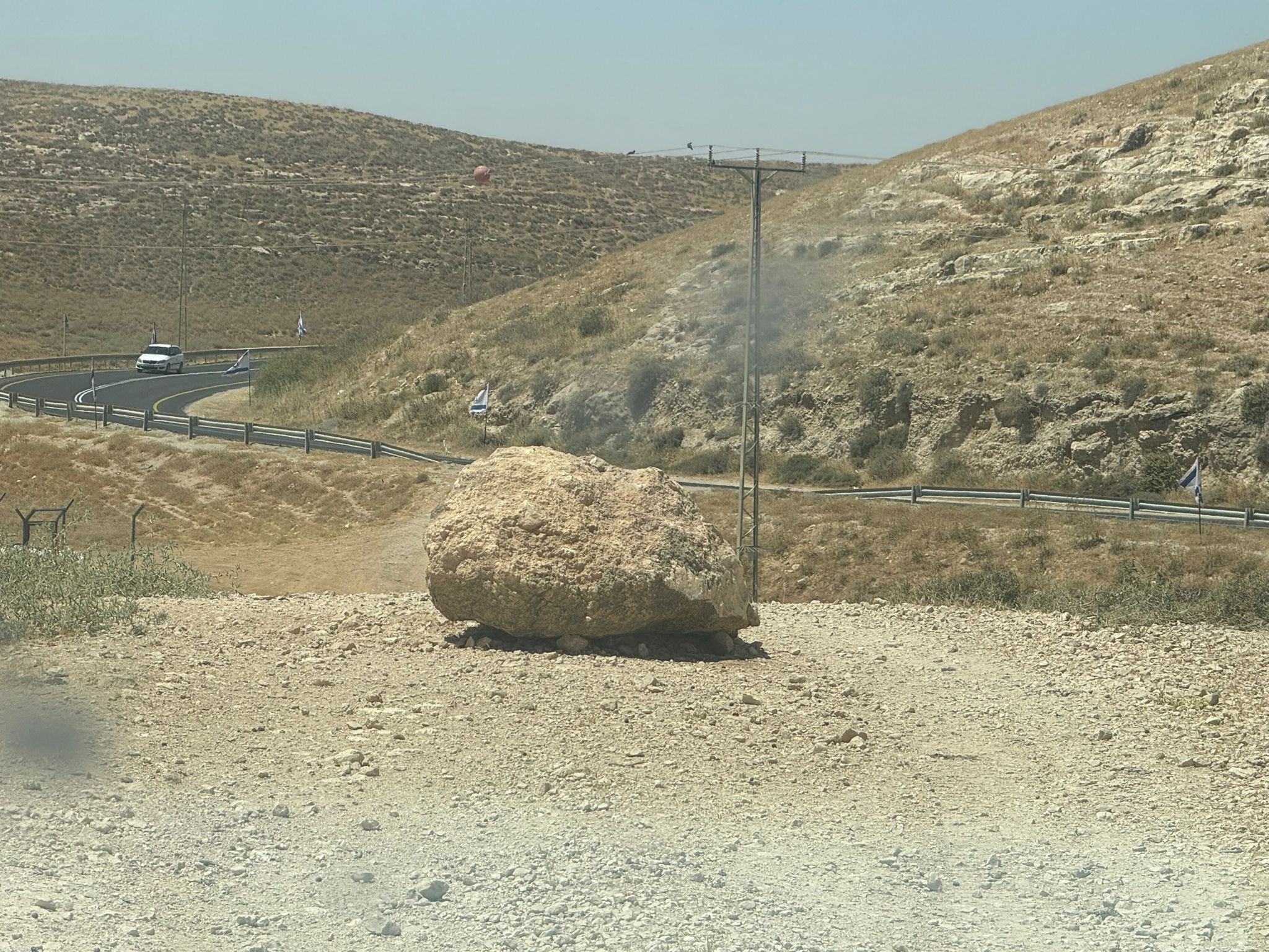 Muhammad D.Jun-7-2026A stone placed by settlers on the road leading to the Thiel family's territory in Rahwa
-