
Hebron, South Hebron Hills, Tarqumiya, Tue 24.8.10, Morning
Translated by Bracha B.A.
Tarquomiya
At 06:40 most of the workers had already crossed over and so, left the area. We attempted to approach the inspection point to see how many booths were open but were unable to do so. A security guard told us to leave. We were also unable to cross to the Palestinian side to interview workers. We were given explicit instructions over the loudspeaker to get back and understood that we were not wanted there, and left.
Route 35
The olive crossing is open. The entrance to Shiyuch is open, and a sign warning against entry to Area A has been put up instead of the checkpoint which was taken down. On the other side, next to the approach to Hebron, there are two rows of stones. (Use is found for every rock around here.)
Hebron
Hebron in the early morning on a hot summer day in Ramadan is empty and deserted. The settlement of Avihai that was recently demolished is showing signs of being rebuilt.
Hebron
See all reports for this place-
According to Wye Plantation Accords (1997), Hebron is divided in two: H1 is under Palestinian Authority control, H2 is under Israeli control. In Hebron there are 170,000 Palestinian citizens, 60,000 of them in H2. Between the two areas are permanent checkpoints, manned at all hours, preventing Palestinian movement between them and controlling passage of permit holders such as teachers and schoolchildren. Some 800 Jews live in Avraham Avinu Quarter and Tel Rumeida, on Givat HaAvot and in the wholesale market.
Checkpoints observed in H2:
- Bet Hameriva CP- manned with a pillbox
- Kapisha quarter CP (the northern side of Zion axis) - manned with a pillbox
- The 160 turn CP (the southern side of Zion axis) - manned with a pillbox
- Avraham Avinu quarter - watch station
- The pharmacy CP - checking inside a caravan with a magnometer
- Tarpat (1929) CP - checking inside a caravan with a magnometer
- Tel Rumeida CP - guarding station
- Beit Hadassah CP - guarding station
Three checkpoints around the Tomb of the Patriarchs
 Muhammad D.May-13-2026Hebron - Request for compensation for land expropriation
-
South Hebron Hills
See all reports for this place-
South Hebron Hills
South Hebron Hills is a large area in the West Bank's southern part.
Yatta is a major city in this area: right in the border zone between the fertile region of Hebron and its surroundings and the desert of the Hebron Hills. Yatta has about 64,000 inhabitants.
The surrounding villages are called Masafer Yatta (Yatta's daughter villages). Their inhabitants subsist on livestock and agriculture. Agriculture is possible only in small plots, especially near streams. Most of the area consists of rocky terraces.Since the beginning of the 1980s, many settlements have been established on the agricultural land cultivated by the Palestinians in the South Hebron Hills region: Carmel, Maon, Susia, Masadot Yehuda, Othniel, and more. Since the settlements were established and Palestinians cultivation areas have been reduced; the residents of the South Hebron Hills have been suffering from harassment by the settlers. Attempts to evict and demolish houses have continued, along with withholding water and electricity. The military and police usually refrain from intervening in violent incidents between settlers and Palestinians do not enforce the law when it comes to the investigation of extensive violent Jewish settlers. The harassment in the South Hebron Hills includes attacking and attempting to burn residential tents, harassing dogs, harming herds, and preventing access to pastures.
There are several checkpoints in the South Hebron Hills, on Routes 317 and 60. In most of them, no military presence is apparent, but rather an array of pillboxes monitor the villages. Roadblocks are frequently set up according to the settlers and the army's needs. These are located at the Zif Junction, the Dura-al Fawwar crossing, and the Sheep Junction at the southern entrance to Hebron.
Updated April 2022
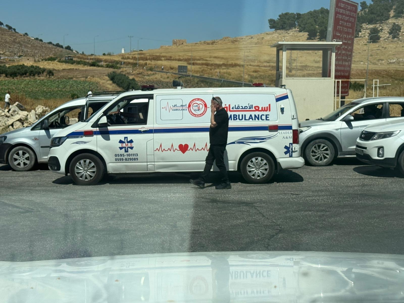 Yael ZoranJun-18-2026An ambulance is waiting in front of the closed checkpoint in El-Fawwar
-
Tarqumiya CP
See all reports for this place-
The Tarqumiya Checkpoint is one of the largest and busiest checkpoints where people and goods cross into Israel. It is located on the Separation Barrier close to the Green Line, on Road 35 (connecting Beer Sheva and Hebron). It is run by the Israel Defense Ministry’s Crossings Administration with civilian secuirty companies running the day to day operations. The checkpoint is indeed open to vehicles in both directions 24/7, but Palestinians are prevented from crossing in vehicles, except in special cases. MachsomWatch activists visit the checkpoint as it opens at 3:45 am, in order to observe the daily passage of nearly 10,000 Palestinian workers. The workers arrive from throughout the Southern West Bank. Our activists report on the tremendous overcrowding at this checkpoint; they have observed young men climbing and scrambling on the fences and roofs of the ‘access cages’. This is how the work day begins for those who ‘build the land of Israel’. updated November 2019
-