
Hebron, South Hebron Hills, Thu 30.6.11, Afternoon
Road 60
Unaware of the tumultuous visit of our Minister of Justice that morning to the Cave of the Patriarchs that morning we drove to the South. The walls along Road 60 are nearing completion and inhabitans of Beitar Illit and Tzur Hadassa will soon be able to drive to Jerusalem through what is almost a tunnel all the way. All vehicles with passengers with oriental features are stopped at the Tunnel CP which caused somewhat of a bottleneck, but it wasn’t rush hour.
On the way we noted how recklessly the drivers behaved and wondered why there were no more accidents. Along the road near Al Arub and Beit Ummar were fruit stands with plums and peaches.
At the entrance to the road to Halhul there is a red sign, warning Israelis against entery. Many cars were parked all around the corner. No one asked us where we were heading when we entered the road to Kiryat Arba, where we noted the new neighborhood Nofei Mamrei with its model apartment and its extension connected by a beautiful boulevard with gardening and lighting to Kiryat Arba itself.
Hebron
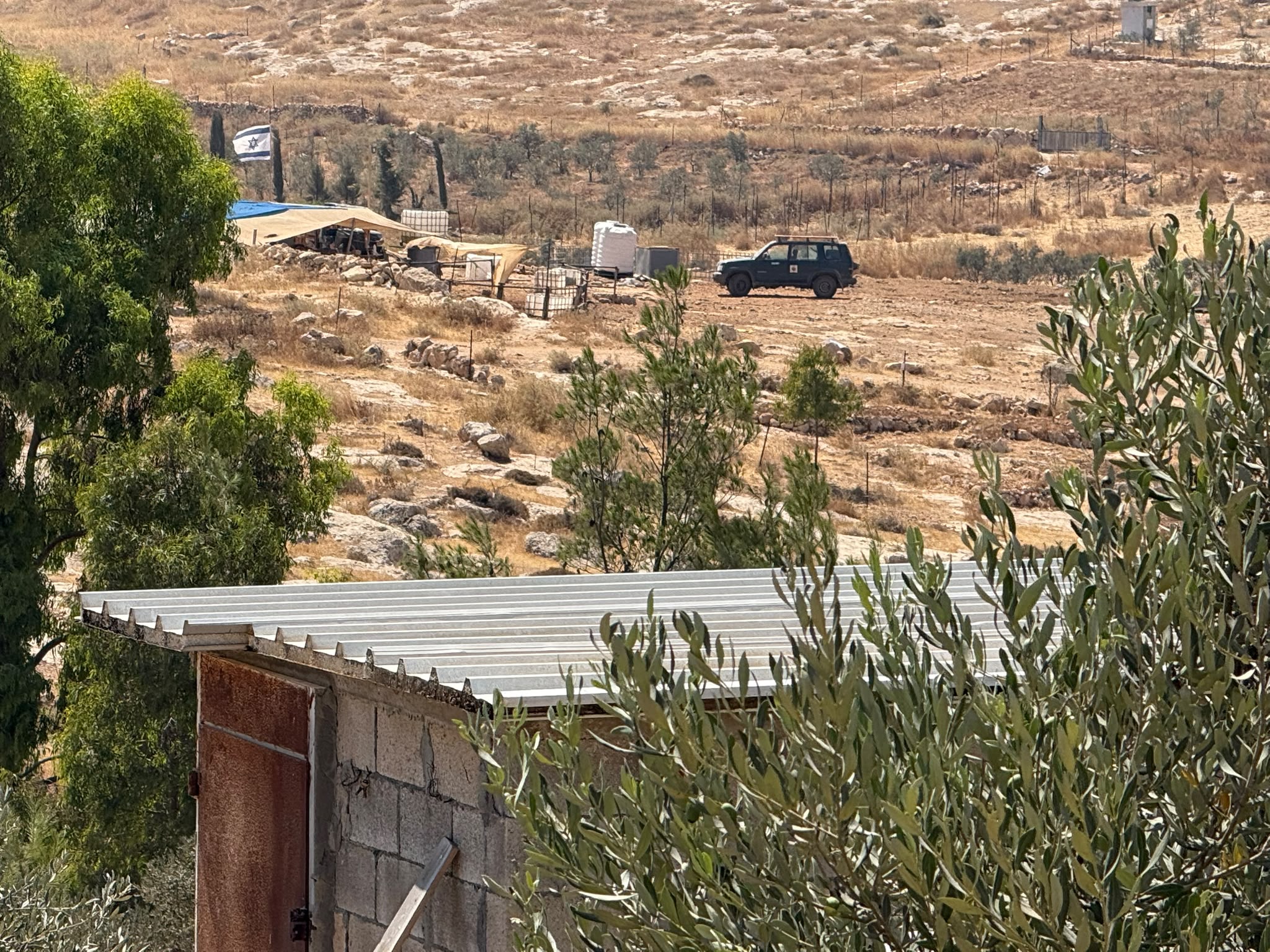
The passage through the rubble of Hebron has not changed most of the patrolling soldiers are from the Border Police. We parked near the mosque and walked along. A soldier near Beit Romano wondered what we were doing there (we took our tags off, but someone nevertheless spat at us from a car) and was hesitating as to whether he should let us through (anxious re our safety). A group of parachuters armed to the teeth walked towards Tel Romeida – we followed them and on the way ‘admired’ the new decorations along the street with the various scenes depicting the Jewish past in Hebron and some of the memorial sites. The Palestinian pedestrians don’t carry any belongings and hurry into their shuttered homes without dwelling. Some children greeted us from behind their fenced windows.
A tanker with drinking water for the soldiers created havoc at the entrance of Tel Romeida since no other vehicle could pass. We talked to some of the inhabitants who praised us for coming to ‘see the sights’ – O. said she felt like a ‘spy’ and told us that they get their water in a special pipe from Kiryat Arba. We were invited to view the excavations which date back to before 4,000 BC, and noted how buildings on ugly pillars are constructed straight above them. In the Moslem graveyard next-door the grave of Yishai will probably be turned into the ‘land of Yishay’ and can thus belong legally to the Jews.
A mini-bus, driven by one of the settlers, came to pick up some children to the pool of Kiryat Arba – he serves the various settlement spots within the area and the service is free He took us back to where our car was parked near the mosque. Needless to say the ride was free. An Ethiopian soldier chased some little peddler kids away. We drove to the Harsina junction and entered the closed off ghetto with its nice housing and many cycling kids.
There is no left-turn into Halhul from Road 60. However, a hundred yards further on, an extra lane facilitated the left turn into a beautiful road towards Carmei Tzur. We entered the settlement and inspected the new ‘project’ consisting of a huge extension – with its own "model apartment". It is exquisitely located with a view over the vineyards (the famous Hebron grapes) and it looks as if it is only inhabited by Ashkenazi Jews.
Hebron
See all reports for this place-
According to Wye Plantation Accords (1997), Hebron is divided in two: H1 is under Palestinian Authority control, H2 is under Israeli control. In Hebron there are 170,000 Palestinian citizens, 60,000 of them in H2. Between the two areas are permanent checkpoints, manned at all hours, preventing Palestinian movement between them and controlling passage of permit holders such as teachers and schoolchildren. Some 800 Jews live in Avraham Avinu Quarter and Tel Rumeida, on Givat HaAvot and in the wholesale market.
Checkpoints observed in H2:
- Bet Hameriva CP- manned with a pillbox
- Kapisha quarter CP (the northern side of Zion axis) - manned with a pillbox
- The 160 turn CP (the southern side of Zion axis) - manned with a pillbox
- Avraham Avinu quarter - watch station
- The pharmacy CP - checking inside a caravan with a magnometer
- Tarpat (1929) CP - checking inside a caravan with a magnometer
- Tel Rumeida CP - guarding station
- Beit Hadassah CP - guarding station
Three checkpoints around the Tomb of the Patriarchs
 Muhammad D.May-13-2026Hebron - Request for compensation for land expropriation
-
South Hebron Hills
See all reports for this place-
South Hebron Hills
South Hebron Hills is a large area in the West Bank's southern part.
Yatta is a major city in this area: right in the border zone between the fertile region of Hebron and its surroundings and the desert of the Hebron Hills. Yatta has about 64,000 inhabitants.
The surrounding villages are called Masafer Yatta (Yatta's daughter villages). Their inhabitants subsist on livestock and agriculture. Agriculture is possible only in small plots, especially near streams. Most of the area consists of rocky terraces.Since the beginning of the 1980s, many settlements have been established on the agricultural land cultivated by the Palestinians in the South Hebron Hills region: Carmel, Maon, Susia, Masadot Yehuda, Othniel, and more. Since the settlements were established and Palestinians cultivation areas have been reduced; the residents of the South Hebron Hills have been suffering from harassment by the settlers. Attempts to evict and demolish houses have continued, along with withholding water and electricity. The military and police usually refrain from intervening in violent incidents between settlers and Palestinians do not enforce the law when it comes to the investigation of extensive violent Jewish settlers. The harassment in the South Hebron Hills includes attacking and attempting to burn residential tents, harassing dogs, harming herds, and preventing access to pastures.
There are several checkpoints in the South Hebron Hills, on Routes 317 and 60. In most of them, no military presence is apparent, but rather an array of pillboxes monitor the villages. Roadblocks are frequently set up according to the settlers and the army's needs. These are located at the Zif Junction, the Dura-al Fawwar crossing, and the Sheep Junction at the southern entrance to Hebron.
Updated April 2022
 Muhammad D.Jul-23-2026The new settlement, starting June 1, 2026, opposite Khallet al-Humus.
-
