
Hebron, South Hebron Hills, Tue 8.10.13, Morning
Road 60
An observation balloon is hovering over the region. The blockage below Beth Haggai was opened and the road is full of vehicles at the southern entrance to Hebron. Soldiers come down from the pillboxes and inspect those who are going in.
Hebron
Giv'ati soldiers or Border Patrol soldiers are standing in all the CPs. They do not detain anybody. But one strict woman soldier approaches us quickly at the Pharmacy CP because we dared go over to the Palestinian side. "You are not allowed to be here – only on the other side near the concrete huts!" We tell her that we haven't gone over into H1. We just came closer to the fence and to the turnstile. Until now none has forbidden us to do that. Are these new instructions? "No." she answers, it's always been that way and I'm telling you now – only near the concrete huts."
The house that is near Beth Ham'riva (the House of the Quarrel) looks abandoned but they have hung an Israeli flag on it too, in addition to all the flags, the signs, and the notes. The important thing is that it is still empty and barricaded.
We went to see what is happening in the house on the Zion axis, where soldiers climbed up to the roof yesterday and tried to forbid its renovation. There is a small consolation, the soldiers have understood that the construction received a permit from the authorities and were happy to notify the people that they can go on with the construction without any interference.
Axis of those Going to Pray
The shortcut from Kiryat Arba is almost finished. They spread yellow sand on the Eckerstein floow. It reminds Yehudit of the road of yellow bricks from the Wizard of Oz. Nathanya asks: "Is that a passage to Keshet?" We see that beyond this apartheid road there are concrete curls that isolate the residents of the region when the Jews of the holy community of Kiryat Arba go to pray in the Makhpela Tomb. But this side is very steep and full of holes, it is not paved and passage is not possible. But who cares? Let them fall. Who are they after all?
Hebron
See all reports for this place-
According to Wye Plantation Accords (1997), Hebron is divided in two: H1 is under Palestinian Authority control, H2 is under Israeli control. In Hebron there are 170,000 Palestinian citizens, 60,000 of them in H2. Between the two areas are permanent checkpoints, manned at all hours, preventing Palestinian movement between them and controlling passage of permit holders such as teachers and schoolchildren. Some 800 Jews live in Avraham Avinu Quarter and Tel Rumeida, on Givat HaAvot and in the wholesale market.
Checkpoints observed in H2:
- Bet Hameriva CP- manned with a pillbox
- Kapisha quarter CP (the northern side of Zion axis) - manned with a pillbox
- The 160 turn CP (the southern side of Zion axis) - manned with a pillbox
- Avraham Avinu quarter - watch station
- The pharmacy CP - checking inside a caravan with a magnometer
- Tarpat (1929) CP - checking inside a caravan with a magnometer
- Tel Rumeida CP - guarding station
- Beit Hadassah CP - guarding station
Three checkpoints around the Tomb of the Patriarchs
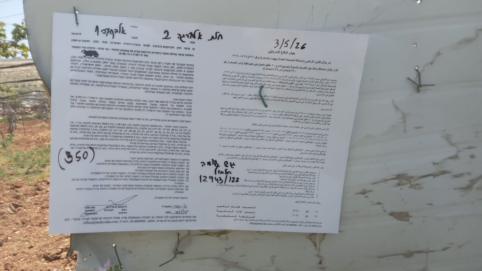 Muhammad D.May-13-2026Hebron - Request for compensation for land expropriation
-
South Hebron Hills
See all reports for this place-
South Hebron Hills
South Hebron Hills is a large area in the West Bank's southern part.
Yatta is a major city in this area: right in the border zone between the fertile region of Hebron and its surroundings and the desert of the Hebron Hills. Yatta has about 64,000 inhabitants.
The surrounding villages are called Masafer Yatta (Yatta's daughter villages). Their inhabitants subsist on livestock and agriculture. Agriculture is possible only in small plots, especially near streams. Most of the area consists of rocky terraces.Since the beginning of the 1980s, many settlements have been established on the agricultural land cultivated by the Palestinians in the South Hebron Hills region: Carmel, Maon, Susia, Masadot Yehuda, Othniel, and more. Since the settlements were established and Palestinians cultivation areas have been reduced; the residents of the South Hebron Hills have been suffering from harassment by the settlers. Attempts to evict and demolish houses have continued, along with withholding water and electricity. The military and police usually refrain from intervening in violent incidents between settlers and Palestinians do not enforce the law when it comes to the investigation of extensive violent Jewish settlers. The harassment in the South Hebron Hills includes attacking and attempting to burn residential tents, harassing dogs, harming herds, and preventing access to pastures.
There are several checkpoints in the South Hebron Hills, on Routes 317 and 60. In most of them, no military presence is apparent, but rather an array of pillboxes monitor the villages. Roadblocks are frequently set up according to the settlers and the army's needs. These are located at the Zif Junction, the Dura-al Fawwar crossing, and the Sheep Junction at the southern entrance to Hebron.
Updated April 2022
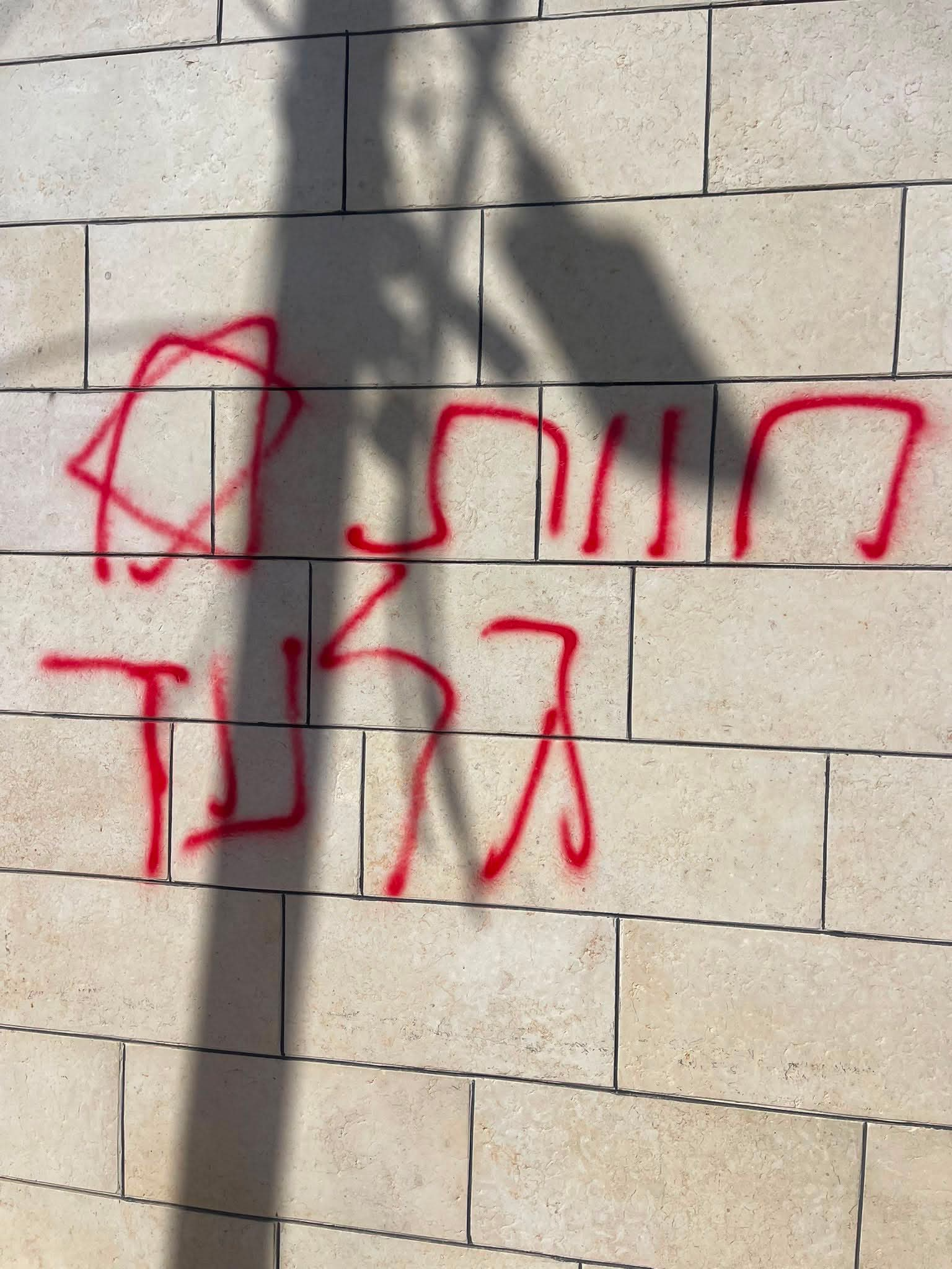 A Palestinian residentJul-19-2026Graffiti sprayed in A-Tuwani
-