
Hebron, South Hebron Hills, Wed 23.1.13, Morning
Trans. Charles K.
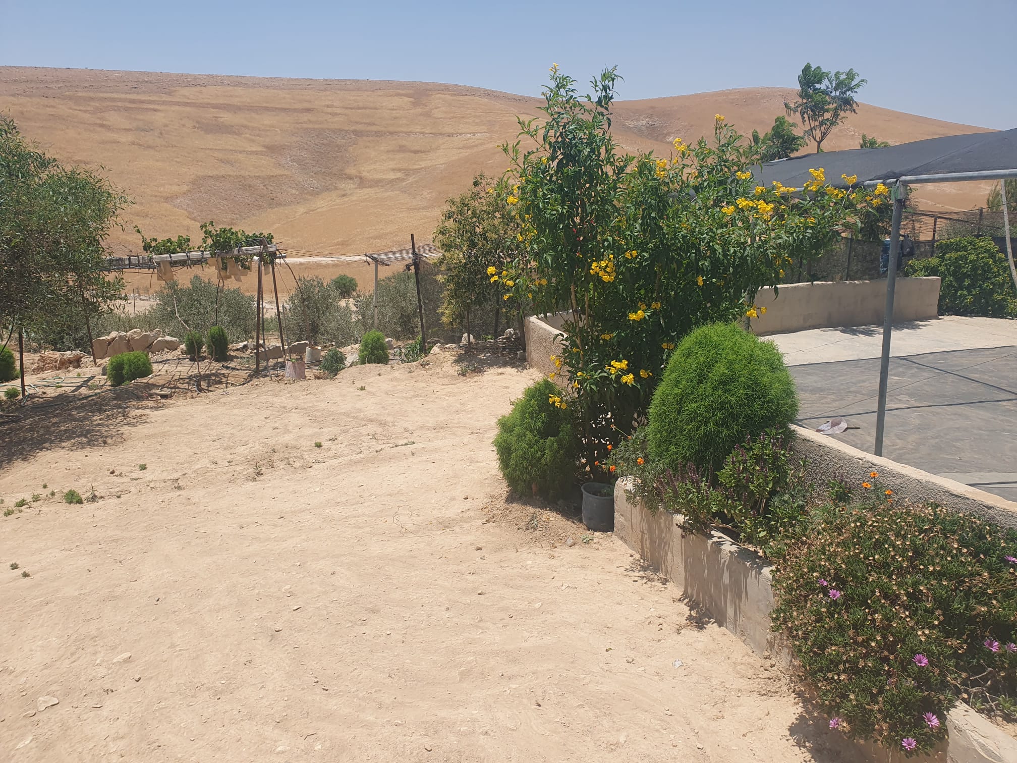
Raya collected many bags of winter clothing; we drove to give them to Fadel in Umm Faqra. The family received us happily, with cups of tea, and we saw his attempts to make progress building his house. (Question: If you had elections, whom would you vote for? Neither for Fatah nor for Hamas, because he’s angry.)
There’s a demonstration on Saturday at Tawwani junction because the road between Yatta and Tawwani was closed. Fadel says he took his six-month old son who was sick to the Yatta hospital; the car got stuck on the boulders blocking the road and they couldn’t continue until a vehicle arrived from Yata. They transferred the patient by the back-to-back method, like at a checkpoint.
When we left we saw that some of the roadblock, boulders and earth, had been removed by hand by villagers from A-Tawwani, Umm Tuba and Umm Faqra.
We wonder how long it will take before a tractor comes to block the road again.
Hebron
Nothing new here; Kfir brigade soldiers seem calm. Many tourists at the Cave of the Patriarchs; we’re directed to make a detour.
We received photocopies of three IDs of people seeking help to obtain Israeli work permits, or at least a magnetic card. We understand that Sylvia gets them; we’ll give them to her, hoping she can help.
Hebron
See all reports for this place-
According to Wye Plantation Accords (1997), Hebron is divided in two: H1 is under Palestinian Authority control, H2 is under Israeli control. In Hebron there are 170,000 Palestinian citizens, 60,000 of them in H2. Between the two areas are permanent checkpoints, manned at all hours, preventing Palestinian movement between them and controlling passage of permit holders such as teachers and schoolchildren. Some 800 Jews live in Avraham Avinu Quarter and Tel Rumeida, on Givat HaAvot and in the wholesale market.
Checkpoints observed in H2:
- Bet Hameriva CP- manned with a pillbox
- Kapisha quarter CP (the northern side of Zion axis) - manned with a pillbox
- The 160 turn CP (the southern side of Zion axis) - manned with a pillbox
- Avraham Avinu quarter - watch station
- The pharmacy CP - checking inside a caravan with a magnometer
- Tarpat (1929) CP - checking inside a caravan with a magnometer
- Tel Rumeida CP - guarding station
- Beit Hadassah CP - guarding station
Three checkpoints around the Tomb of the Patriarchs
 Muhammad D.May-13-2026Hebron - Request for compensation for land expropriation
-
South Hebron Hills
See all reports for this place-
South Hebron Hills
South Hebron Hills is a large area in the West Bank's southern part.
Yatta is a major city in this area: right in the border zone between the fertile region of Hebron and its surroundings and the desert of the Hebron Hills. Yatta has about 64,000 inhabitants.
The surrounding villages are called Masafer Yatta (Yatta's daughter villages). Their inhabitants subsist on livestock and agriculture. Agriculture is possible only in small plots, especially near streams. Most of the area consists of rocky terraces.Since the beginning of the 1980s, many settlements have been established on the agricultural land cultivated by the Palestinians in the South Hebron Hills region: Carmel, Maon, Susia, Masadot Yehuda, Othniel, and more. Since the settlements were established and Palestinians cultivation areas have been reduced; the residents of the South Hebron Hills have been suffering from harassment by the settlers. Attempts to evict and demolish houses have continued, along with withholding water and electricity. The military and police usually refrain from intervening in violent incidents between settlers and Palestinians do not enforce the law when it comes to the investigation of extensive violent Jewish settlers. The harassment in the South Hebron Hills includes attacking and attempting to burn residential tents, harassing dogs, harming herds, and preventing access to pastures.
There are several checkpoints in the South Hebron Hills, on Routes 317 and 60. In most of them, no military presence is apparent, but rather an array of pillboxes monitor the villages. Roadblocks are frequently set up according to the settlers and the army's needs. These are located at the Zif Junction, the Dura-al Fawwar crossing, and the Sheep Junction at the southern entrance to Hebron.
Updated April 2022
 Smadar BeckerJun-28-2026The vegetation that Najh planted around the house in Umm Qusa
-