
Hebron vicinity – children don’t go to school because of fear from settlers


On Route 60 the entrances to all the villages are closed and blocked. The majority are by dirt and rock embankments, but you can also see yellow metal barriers.
Military vehicles can be seen more than ever. Both jeeps and vans and protected Savanna vehicles.
Muhammad arranged a meeting in the morning with Ata Jaber who had asked some time ago that we visit him. In a phone call before our arrival, he said that he was in a clinic in Hebron with his sick wife (Ata is also not well). Due to delays and checkpoints at every corner, they had to walk and did not arrive in time.
We entered Ata’s mother’s land and met Ata’s brother Jawdi, who lives near the mother’s house. Jawdi says that every day stones are thrown by settl ers also at night by settlers from Givat Haharsina (official name Ramat Mamra) in the north of Kiryat Arba. In the photo I took you can see the flag in the Jewish neighbourhood, above the house of the Jaber family who have lived there for hundreds of years. The family members are being cursed every day, including the children. The fear of settler violence means that the children of Abed, Jaudi’s son, did not go to school.
During the conversation Jawdi mentions the cave where his ancestors lived and where he also grew up with his brothers and sisters. Only in 1977 did they build the mother’s house and its adjacent house. We parted with a heavy heart.
We returned via Route 356 and turned left to Pnai Hever settlement to check if the entrance to Bani Naim was blocked. Indeed it was.
In front of Pnai Hever, a poster calling to return to the Gaza Strip. not surprising.
We stopped at Nabil’s grocery store in Zif, according to him everything is as usual.
Further down the road, a few kilometres away, near the exit from Yatta, the Israeli flag flies on a building that used to be used as a military post.
Also on Route 317, through which we returned, there are roadblocks at the entrances to all the villages, and more military vehicles than usual.
Occupation routine.
Hebron
See all reports for this place-
According to Wye Plantation Accords (1997), Hebron is divided in two: H1 is under Palestinian Authority control, H2 is under Israeli control. In Hebron there are 170,000 Palestinian citizens, 60,000 of them in H2. Between the two areas are permanent checkpoints, manned at all hours, preventing Palestinian movement between them and controlling passage of permit holders such as teachers and schoolchildren. Some 800 Jews live in Avraham Avinu Quarter and Tel Rumeida, on Givat HaAvot and in the wholesale market.
Checkpoints observed in H2:
- Bet Hameriva CP- manned with a pillbox
- Kapisha quarter CP (the northern side of Zion axis) - manned with a pillbox
- The 160 turn CP (the southern side of Zion axis) - manned with a pillbox
- Avraham Avinu quarter - watch station
- The pharmacy CP - checking inside a caravan with a magnometer
- Tarpat (1929) CP - checking inside a caravan with a magnometer
- Tel Rumeida CP - guarding station
- Beit Hadassah CP - guarding station
Three checkpoints around the Tomb of the Patriarchs
 Muhammad D.May-13-2026Hebron - Request for compensation for land expropriation
-
South Hebron Hills
See all reports for this place-
South Hebron Hills
South Hebron Hills is a large area in the West Bank's southern part.
Yatta is a major city in this area: right in the border zone between the fertile region of Hebron and its surroundings and the desert of the Hebron Hills. Yatta has about 64,000 inhabitants.
The surrounding villages are called Masafer Yatta (Yatta's daughter villages). Their inhabitants subsist on livestock and agriculture. Agriculture is possible only in small plots, especially near streams. Most of the area consists of rocky terraces.Since the beginning of the 1980s, many settlements have been established on the agricultural land cultivated by the Palestinians in the South Hebron Hills region: Carmel, Maon, Susia, Masadot Yehuda, Othniel, and more. Since the settlements were established and Palestinians cultivation areas have been reduced; the residents of the South Hebron Hills have been suffering from harassment by the settlers. Attempts to evict and demolish houses have continued, along with withholding water and electricity. The military and police usually refrain from intervening in violent incidents between settlers and Palestinians do not enforce the law when it comes to the investigation of extensive violent Jewish settlers. The harassment in the South Hebron Hills includes attacking and attempting to burn residential tents, harassing dogs, harming herds, and preventing access to pastures.
There are several checkpoints in the South Hebron Hills, on Routes 317 and 60. In most of them, no military presence is apparent, but rather an array of pillboxes monitor the villages. Roadblocks are frequently set up according to the settlers and the army's needs. These are located at the Zif Junction, the Dura-al Fawwar crossing, and the Sheep Junction at the southern entrance to Hebron.
Updated April 2022
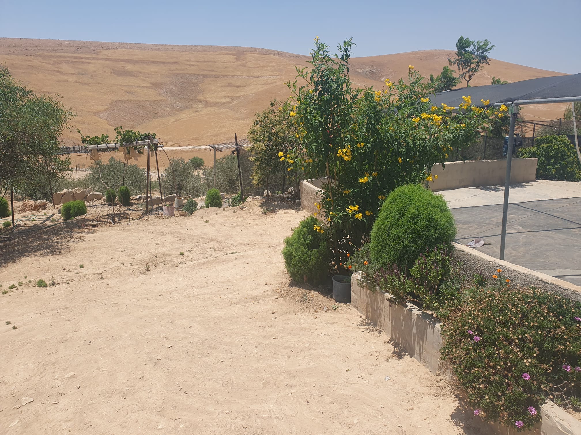 Smadar BeckerJun-28-2026The vegetation that Najh planted around the house in Umm Qusa
-
Zif Junction
See all reports for this place-
Zif Junction located on the crossroads that directs towards Road 356 to Yata. Yata is the district city of the southern Hebron Mountains. Usually, this junction is open to traffic. The nearby pillbox is unmanned. But the army and police are present occasionally, sometimes setting up a checkpoint and sometimes detaining residents from the big city. Often, the Israeli policemen inspect vehicles and distribute driving reports to Palestinian vehicles. s
-