
Sansana (Meitar Crossing), South Hebron Hills, Susiya
The Meitar checkpoint was slightly less pressured this week but there were more than usual numbers trying to enter without permits, grabbing rides where they could. Some 60 “illegals” were arrested or detained. Route 60 was very busy – really bad driving, people exceeding the speed limit, overtaking on a solid line etc. We went to the village of Hursa, where a checkpoint has been set up (since about 2017) in front of the community/village hall. The hall was used for weddings, parties, cultural events but also as an informal meeting place on a daily basis. Now it is closed and the area in front of it some’10-20 meters, is closed off by yellow metal gates with a watchtower at the southern end. The checkpoint actually divides the village in two, so that all the services: medical clinic, civic buildings and shops are on one side while the other is mainly residential. The hall can still be used but now only for public functions and by prior arrangement with the army. Residents told us that at first cars were allowed to pass after an ID check, then passage was limited to pedestrians and now it is closed altogether and pedestrians are required to take a detour of several hundred meters over muddy, unpaved and uneven ground. The checkpoint is in the middle of the village, distance from any major traffic route, distance from any entry point to Israel. The settlement of Nogohot is several kilometers distant from the village and the settlers have a direct route along a paved path. Toufiq, one of the village notables, told us that he is in touch with the local military commander who listens to his complaints sympathetically…but does nothing! Lately a new unit of soldiers has arrived and we were told that they are aggressive and rude to residents, especially girl soldiers who apparently curse them with “very vulgar and gross language.” Some soldiers have used the hall for their own parties recently. This checkpoint, like so many, causes untold grief and anger to the local residents, the humiliation and inconvenience are the deliberate policy fo the Israeli Government, implemented by IDF personnel. On the return journey we noted that the nearby village of Abda was still closed.
The photographs show the damage to the taboun/oven at Susiya, including a picture of the blaze taken by a neighbour in real time. The photo that looks like a volcano is of the damaged tarpaulin that covers the oven.
Meitar checkpoint / Sansana
See all reports for this place-
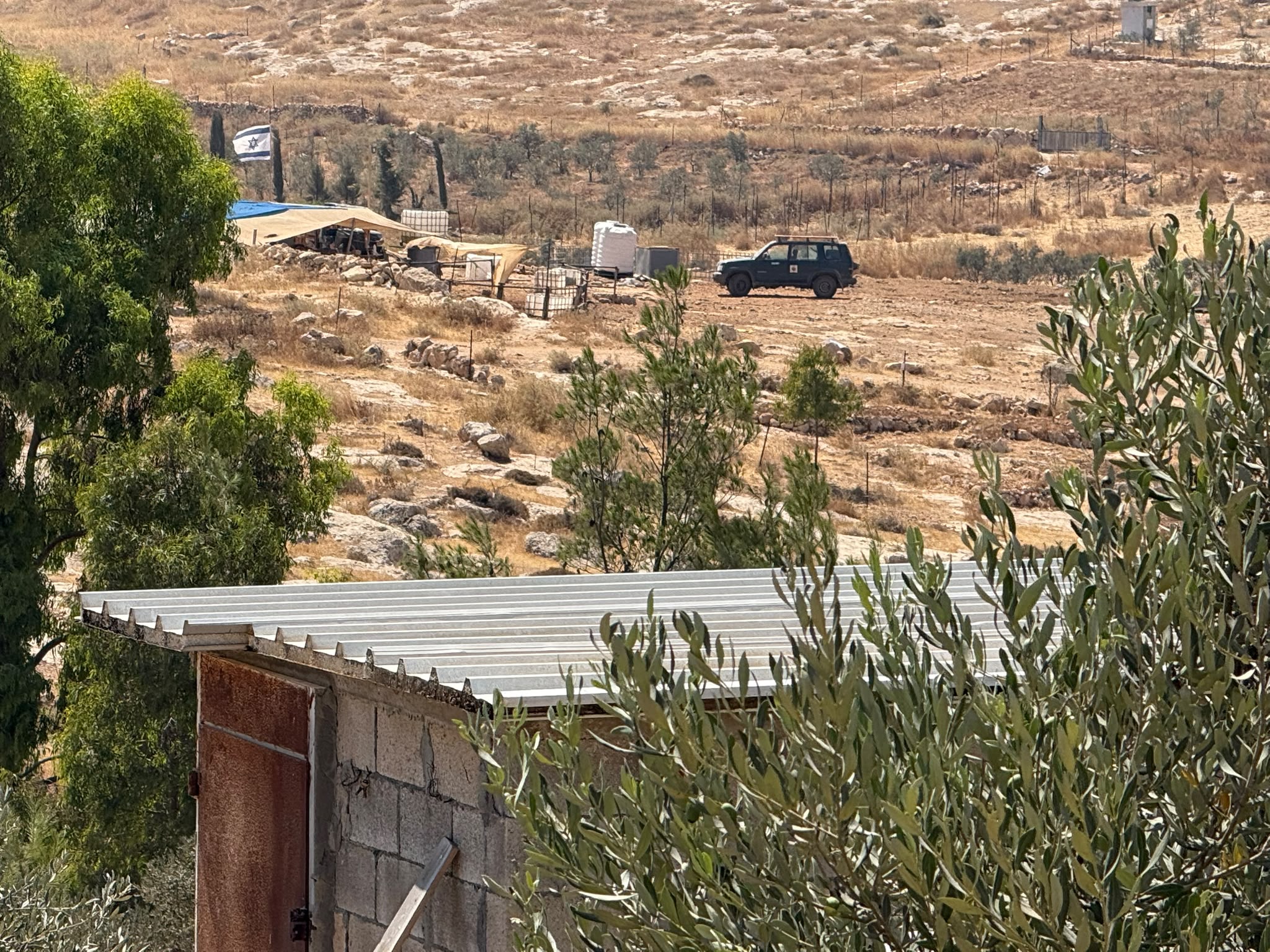
Meitar Checkpoint / Sansana The checkpoint is located on the Green Line and serves as a border crossing between Israel and the West Bank. It is managed by the Border Crossing Authority of the Defense Ministry. It is comprised of sections for the transfer of goods as well as a vehicle checkpoint (intended for holders of blue identity cards, foreign nationals or diplomats and international organizations). Passing of Palestinians is prohibited, except for those with entry permits to Israel. Palestinians are permitted to cross on foot only. The crossing has a DCO / DCL / DCL / DCL (District Coordination Office), a customs unit, supervision, and a police unit. In the last year, a breach has been opened in the fence, not far from the crossing. This breach is known to all, including the army. There does not appear to be any interest in blocking it, probably as it permits needed Palestinian workers without the bureaucratic permits to get to work in Israel. Food stalls and a parking area economy have been created, but incidents of violent abuse by border police have also been recorded. Updated April 2022
-
South Hebron Hills
See all reports for this place-
South Hebron Hills
South Hebron Hills is a large area in the West Bank's southern part.
Yatta is a major city in this area: right in the border zone between the fertile region of Hebron and its surroundings and the desert of the Hebron Hills. Yatta has about 64,000 inhabitants.
The surrounding villages are called Masafer Yatta (Yatta's daughter villages). Their inhabitants subsist on livestock and agriculture. Agriculture is possible only in small plots, especially near streams. Most of the area consists of rocky terraces.Since the beginning of the 1980s, many settlements have been established on the agricultural land cultivated by the Palestinians in the South Hebron Hills region: Carmel, Maon, Susia, Masadot Yehuda, Othniel, and more. Since the settlements were established and Palestinians cultivation areas have been reduced; the residents of the South Hebron Hills have been suffering from harassment by the settlers. Attempts to evict and demolish houses have continued, along with withholding water and electricity. The military and police usually refrain from intervening in violent incidents between settlers and Palestinians do not enforce the law when it comes to the investigation of extensive violent Jewish settlers. The harassment in the South Hebron Hills includes attacking and attempting to burn residential tents, harassing dogs, harming herds, and preventing access to pastures.
There are several checkpoints in the South Hebron Hills, on Routes 317 and 60. In most of them, no military presence is apparent, but rather an array of pillboxes monitor the villages. Roadblocks are frequently set up according to the settlers and the army's needs. These are located at the Zif Junction, the Dura-al Fawwar crossing, and the Sheep Junction at the southern entrance to Hebron.
Updated April 2022
 Muhammad D.Jul-23-2026The new settlement, starting June 1, 2026, opposite Khallet al-Humus.
-
Susiya
See all reports for this place-
Susiya The Palestinian area lies between the settlement of Susya and a military base. The residents began to settle in areas outside the villages in the 1830s and lived in caves, tents and sukkot. To this day they maintain a traditional lifestyle and their livelihood is based on agriculture and herding. Until the 1948 war, the farmers cultivated areas that extended to the Arad area. As a result of the war, a significant portion of their land left on the Israeli side was lost. After the 1967 war and the Israeli occupation, military camps were established in the area, fire zones and nature reserves were declared, and the land area was further reduced. The Jewish settlement in Susya began in 1979. Since then, there has been a stubborn struggle to remove the remains of Palestinian residents who refuse to leave their place of birth and move to nearby town Yatta. With the development of a tourist site in Khirbet Susya in the late 1980s (an ancient synagogue), dozens of families living in caves in its vicinity were deported. In the second half of the 1990s, a new form of settlement developed in the area - shepherds' farms of individual settlers. This phenomenon increased the tension between the settlers and the original, Palestinian residents, and led to repeated harassment of the residents of the farms towards the Palestinians. At the same time, demolition of buildings and crop destruction by security forces continued, as well as water and electricity prevention. In the Palestinian Susya, as in a large part of the villages of the southern Hebron Mountains, there is no running water, but the water pipe that supplies water to the Susya Jewish settlement passes through it. Palestinians have to buy expensive water that comes in tankers. Solar electricity is provided by a collector system, installed with donation funds. But the frequent demolitions in the villages do not spare water cisterns or the solar panels and power poles designed to transfer solar electricity between the villages. Updated April 2021, Anat T.
-
