
Sansana, South Hebron Hills, Thu 26.6.08, Morning
Translating – Tal E,
5:30-8:30
Following a request from the lawyer of the human rights organization, who is working these days on an appeal to the Supreme Court regarding the road blockings on route 60, we spent this shift inspecting the blockings between Sansana and ChalChul.
Sansana-Meitar – 5:30
The checkpoint is almost empty. Workers who arrive enter immediately and pass quickly. On of the workers tells us smiling "this way is very good" while quickly approaching the checkpoint.
Recommendation: We bought 10 Falafel balls right out of the oil. It was great.
Route 60
They are still working on the road, especially on the closer part to the checkpoint. We'd curiously like to know how many millions the country is spending on this part of the road.
South Samoa – The road is closed. It is informally open after the Palestinians cleared a path in between the dirt piles. The army seems to ignore it.
Samoa – Simya – same thing.
Right after the mine and close to Otniel – same thing.
Dahariya – The main entrance is blocked. Here also there's a crooked path that the Palestinians manage to go through with their vehicles. It is accompanied of course with damage to the car. Here also the army ignores it for some time.
Karameh – The Palestinians moved a few rocks and the road is open.
On the left side of the road (opposite to Karame) – open.
Left turn after Karameh (we don't know the name of the village) – open. It seems like the army opened the road because it is completely straightened and in the past there were rocks and dirt piles. Now it is all clear.
Dir Razek – blocked.
Dura el Fawar – open.
Right turn after Dura el Fawar – open. Here too it seems that the blocking was removed and so we assume it was formally done by the army.
The entrance to Hebron next to Bet Hagai – blocked.
Gilgis – blocking on both sides of the road.
Yatta (upper part next to army base) – open. Here too it looks like the opening is not formal.
Sheep Crossing – open.
Another entrance to Hebron after the Sheep J – blocked.
All of Bani Naim entrances to Route 60 are blocked – from Route 60 J and Road 356 and up to Sauch, as well as the inner road near the settlers' vineyard.
Sayuch-Hebron – closed on both sides.
Route 35
Humanitarian CP – is closed.
Chalchul Bridge – open but the blocking before the bridge is still closed.
Sair-Chalchul – open. For the first time we find a sign to a Palestinian settlement. A salient sign that points to the turn to Sair and Chalchul.
Route 317 (on our way back):
Bani Naim – open.
Zif – open.
The next turn right after Zif (close to the army base) – open. Same place on the left side of the road – closed.
Tawani-Yatta – open.
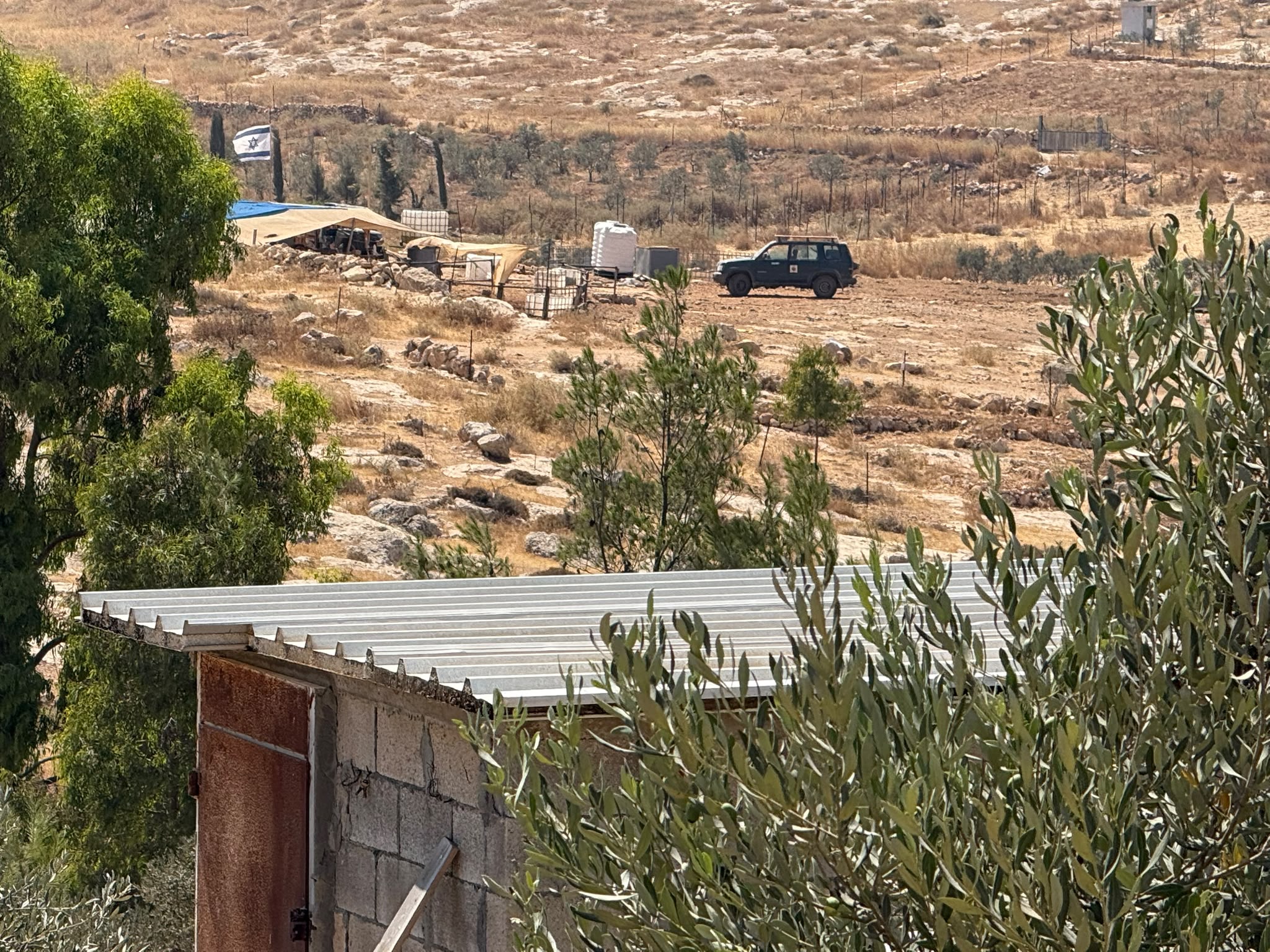
We decided to pay a visit in Avigail. The olive orchard that we saw uprooted two years ago has not been rehabilitated. The place looks exactly like it was after the army uprooted the trees that were stolen by the settlers.
The illegal settlement (Maachaz) is not surrounded by a fence. It looks to us like the number of setters grew since our last visit. We see 5-6 manned caravans and a few cars parking beside them. A woman soldier approaches us. She wants to know why we're there. We ask her how many settlers and how many soldiers are there. She says that there are many soldiers. We don't see the. She asks us to leave since there are many warnings about possible attacks. We leave.
Meitar checkpoint / Sansana
See all reports for this place-
Meitar Checkpoint / Sansana The checkpoint is located on the Green Line and serves as a border crossing between Israel and the West Bank. It is managed by the Border Crossing Authority of the Defense Ministry. It is comprised of sections for the transfer of goods as well as a vehicle checkpoint (intended for holders of blue identity cards, foreign nationals or diplomats and international organizations). Passing of Palestinians is prohibited, except for those with entry permits to Israel. Palestinians are permitted to cross on foot only. The crossing has a DCO / DCL / DCL / DCL (District Coordination Office), a customs unit, supervision, and a police unit. In the last year, a breach has been opened in the fence, not far from the crossing. This breach is known to all, including the army. There does not appear to be any interest in blocking it, probably as it permits needed Palestinian workers without the bureaucratic permits to get to work in Israel. Food stalls and a parking area economy have been created, but incidents of violent abuse by border police have also been recorded. Updated April 2022
-
Sa'ir
See all reports for this place-
A relatively affluent suburb of Palestinian Hebron. West of Highway 60 leading from Bethlehem to Hebron. The entrance to Highway 60 and to Shuyukh and Beit Einun to the east is open, but is subject to changes - concrete blocks denying passage are stationed according to the needs of the army.
-
South Hebron Hills
See all reports for this place-
South Hebron Hills
South Hebron Hills is a large area in the West Bank's southern part.
Yatta is a major city in this area: right in the border zone between the fertile region of Hebron and its surroundings and the desert of the Hebron Hills. Yatta has about 64,000 inhabitants.
The surrounding villages are called Masafer Yatta (Yatta's daughter villages). Their inhabitants subsist on livestock and agriculture. Agriculture is possible only in small plots, especially near streams. Most of the area consists of rocky terraces.Since the beginning of the 1980s, many settlements have been established on the agricultural land cultivated by the Palestinians in the South Hebron Hills region: Carmel, Maon, Susia, Masadot Yehuda, Othniel, and more. Since the settlements were established and Palestinians cultivation areas have been reduced; the residents of the South Hebron Hills have been suffering from harassment by the settlers. Attempts to evict and demolish houses have continued, along with withholding water and electricity. The military and police usually refrain from intervening in violent incidents between settlers and Palestinians do not enforce the law when it comes to the investigation of extensive violent Jewish settlers. The harassment in the South Hebron Hills includes attacking and attempting to burn residential tents, harassing dogs, harming herds, and preventing access to pastures.
There are several checkpoints in the South Hebron Hills, on Routes 317 and 60. In most of them, no military presence is apparent, but rather an array of pillboxes monitor the villages. Roadblocks are frequently set up according to the settlers and the army's needs. These are located at the Zif Junction, the Dura-al Fawwar crossing, and the Sheep Junction at the southern entrance to Hebron.
Updated April 2022
 Muhammad D.Jul-23-2026The new settlement, starting June 1, 2026, opposite Khallet al-Humus.
-
