
South Hebron
South Hebron Hills – Thursday, 14.07.05, MorningObservers: Paula, Mira (reporting)06:45 – 09:15In general: Almost no military traffic on the apartheid roads and sparse traffic of Palestinian vehicles. The pillboxes are manned, but at the crossroads passage was free, without military presence on the ground. “Only” between Samoa and the DCO quarters we encountered 3 flying roadblocks (forked sticks): one was unmanned and at the other two, we were asked to show our ID cards. (I’ was reprimanded twice: “You ought to renew your card.” Yes, I’ agreed, it was issued when the soldiers were born.)The dirt mounds, along the road, are cultivated diligently. Dura El-Pawar – Open to vehicles. Forked sticks spread on the road, to slow down the traffic. Beit-Hagai – Roadblock, manned 24 hours.By the DCO – Flying roadblock. ID cards are checked.The Sheep junction: Open. No military presence.Benei Naim: Blocked.Shiuch (School of girls): The narrow passage, that was open for pedestrians, is blocked too by boulders. People have to climb above. Halhoul-Sair: Open. The pillbox is manned. A lot of traffic crosses the unkempt road.Humanitarian passage: Empty and locked.Halhoul (east): The bridge is open. The way up is closed, as usual, and there are new dirt mounds along the way up. The house, that the military seized, has been freed, so it seems, for there is no military net hanging over it. Road 56Zif passage: closed. Yatta is completely encircled and closed to passage of vehicles. Road 317A glimpse of hope gave us the sight of a little tractor, plowing a hard plot of land.
South Hebron Hills
See all reports for this place-
South Hebron Hills
South Hebron Hills is a large area in the West Bank's southern part.
Yatta is a major city in this area: right in the border zone between the fertile region of Hebron and its surroundings and the desert of the Hebron Hills. Yatta has about 64,000 inhabitants.
The surrounding villages are called Masafer Yatta (Yatta's daughter villages). Their inhabitants subsist on livestock and agriculture. Agriculture is possible only in small plots, especially near streams. Most of the area consists of rocky terraces.Since the beginning of the 1980s, many settlements have been established on the agricultural land cultivated by the Palestinians in the South Hebron Hills region: Carmel, Maon, Susia, Masadot Yehuda, Othniel, and more. Since the settlements were established and Palestinians cultivation areas have been reduced; the residents of the South Hebron Hills have been suffering from harassment by the settlers. Attempts to evict and demolish houses have continued, along with withholding water and electricity. The military and police usually refrain from intervening in violent incidents between settlers and Palestinians do not enforce the law when it comes to the investigation of extensive violent Jewish settlers. The harassment in the South Hebron Hills includes attacking and attempting to burn residential tents, harassing dogs, harming herds, and preventing access to pastures.
There are several checkpoints in the South Hebron Hills, on Routes 317 and 60. In most of them, no military presence is apparent, but rather an array of pillboxes monitor the villages. Roadblocks are frequently set up according to the settlers and the army's needs. These are located at the Zif Junction, the Dura-al Fawwar crossing, and the Sheep Junction at the southern entrance to Hebron.
Updated April 2022
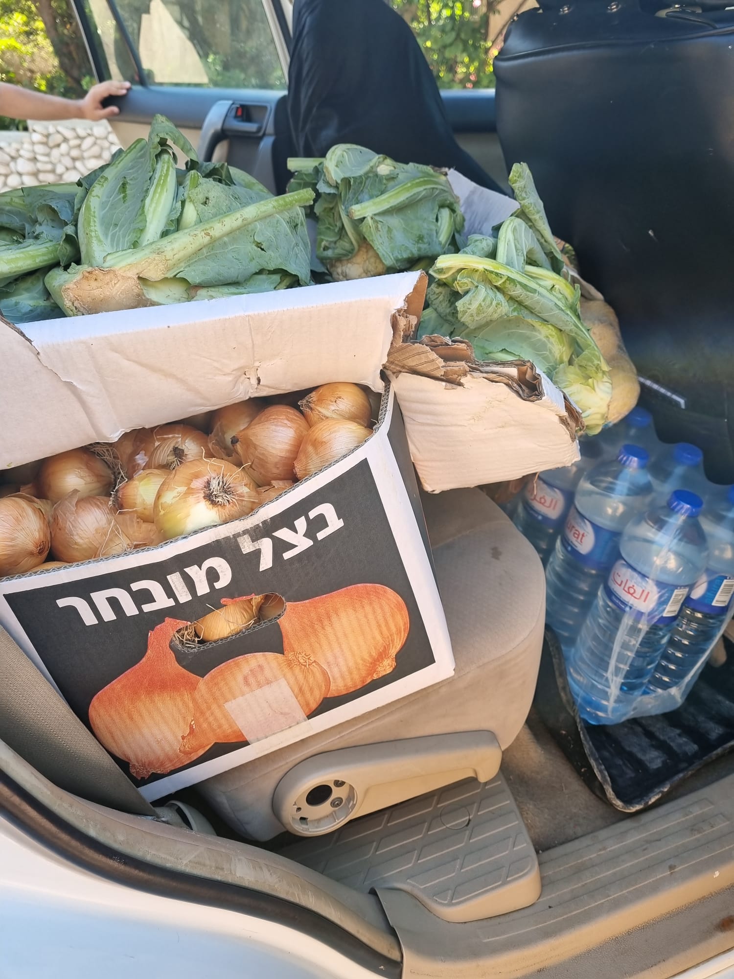 Muhammad D.Jul-1-2026From the food we brought to the Daramin family in the village of Khirbet al-Kharaba
-