
South Hebron, AM
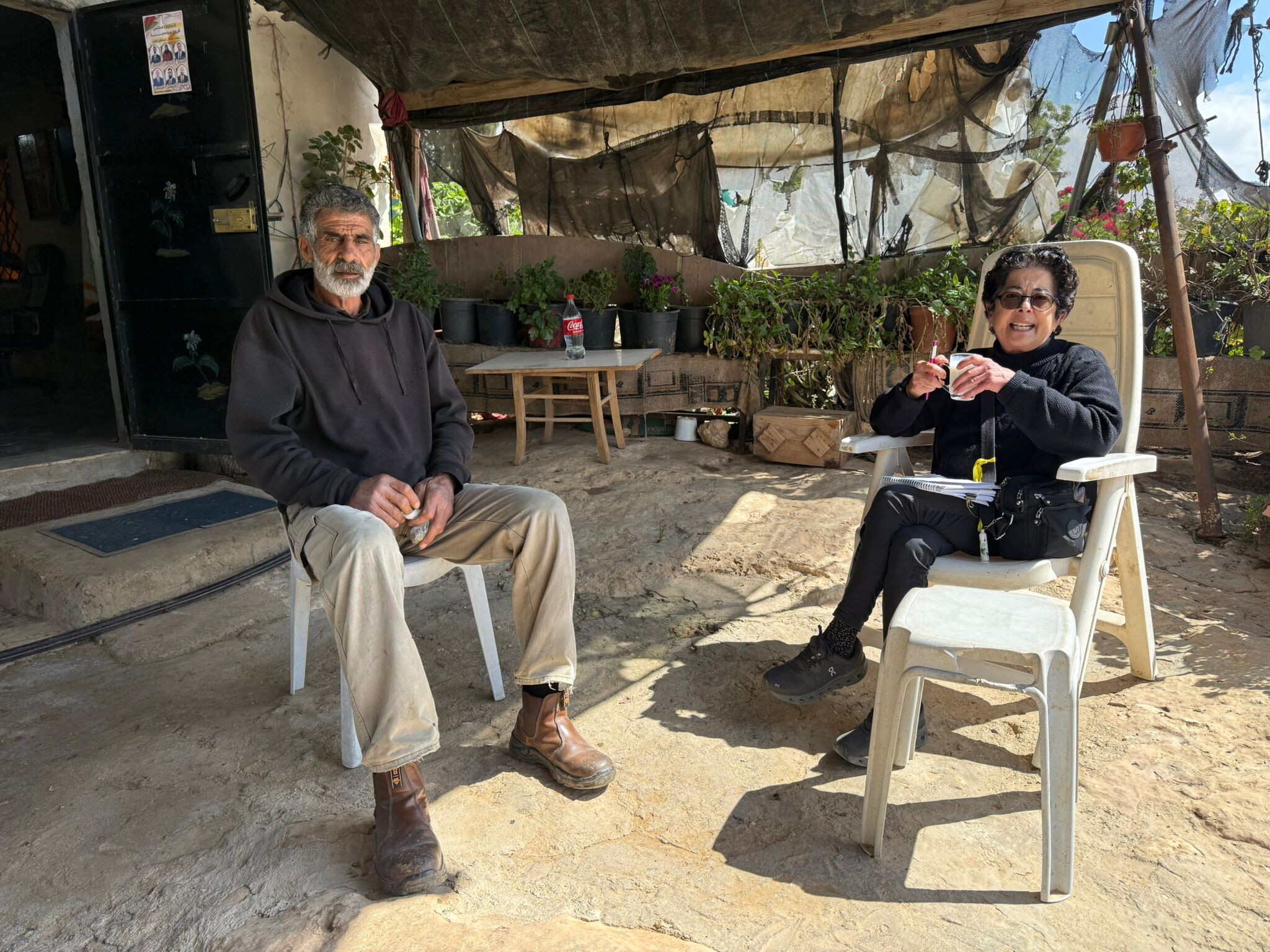
South Hebron Hills Wednesday 14.7.AM Observers: Leah, Hagit B. (reporting in Hebrew) Elena L (English translation) We left Shoket at 7:00 and retunred at 10:30. New- the army has reappeared in a big way- there was a queue of vehicles being checked at Shim’ah –the regimental CO was paying them a visit. One Hummer at the Sheeps’ Crossing and another Hummer on Halhul bridge. The junction between Bani Na’im and Hebron- the road is now open to Palestinian vehicles. A Hummer was checking the cars at the crossroad (not on a permanent basis, since the Hummer had gone by the time we returned there). The Ras Al Jura junction- a mannequin had been placed at the crossroad , soldiers were in the pillbox. The roadblock on route 356 (in military jargon it’s called Yakniton Barn (Asam) junction). The canopy giving shade has collapsed. Along the rest of the way –route 60 as far as East Halhul- route 356, route 317- the dirt barriers have been raised, new rocks have been placed along the edges of the road and there are soldiers in every pillbox. A lot of military vehicles on the road, as against very few Palestinian transit vans and cars. There were no detainees and the soldiers were polite to the few pedestrians to be seen. Khirbet at-Tuwani There is no water –there are dead chickens on the edge and inside the cistern., and there is a horrible smell of insecticide, and the shame and pain we feel is very deep. The poisoning of the water cistern by settlers was reported yesterday on radio and TV . We came to see if we could help. In the village there is a summer camp with 120 kids aged 6-12 and there is no water. Hagit called Alex the DCO commander and talked to his men as well. They spoke on the phone directly to Taber, the village mukhtar They promised that the army would open the barrier to Yatta and bring water to the village from there – the other cisterns are empty and the army must give them 1000 cubic meters to replace the poisoned water. The cisterns of Susya –or another story about settlers The cistern of the inhabitants of the caves and tents in the nevirons of Susya are full – but guess who show up with guns at the ready whenever a Palestinian tries to take water form the his cistern? You guessed right- the settlers threaten the Palestinians ordering them not to approach the cistern. We were asked by the inhabitants to organize a military escort to protect them for 4 hours, which is how long it would take them to empty the cistern and transfer the water to a mobile container. They could thus use the water without having to be afraid of the settlers. That is what is called the “routine of occupation”
Hebron
See all reports for this place-
According to Wye Plantation Accords (1997), Hebron is divided in two: H1 is under Palestinian Authority control, H2 is under Israeli control. In Hebron there are 170,000 Palestinian citizens, 60,000 of them in H2. Between the two areas are permanent checkpoints, manned at all hours, preventing Palestinian movement between them and controlling passage of permit holders such as teachers and schoolchildren. Some 800 Jews live in Avraham Avinu Quarter and Tel Rumeida, on Givat HaAvot and in the wholesale market.
Checkpoints observed in H2:
- Bet Hameriva CP- manned with a pillbox
- Kapisha quarter CP (the northern side of Zion axis) - manned with a pillbox
- The 160 turn CP (the southern side of Zion axis) - manned with a pillbox
- Avraham Avinu quarter - watch station
- The pharmacy CP - checking inside a caravan with a magnometer
- Tarpat (1929) CP - checking inside a caravan with a magnometer
- Tel Rumeida CP - guarding station
- Beit Hadassah CP - guarding station
Three checkpoints around the Tomb of the Patriarchs
 Raya YeorDec-18-2025Hebron - Yusri Jaber and part of his family
-
South Hebron Hills
See all reports for this place-
South Hebron Hills
South Hebron Hills is a large area in the West Bank's southern part.
Yatta is a major city in this area: right in the border zone between the fertile region of Hebron and its surroundings and the desert of the Hebron Hills. Yatta has about 64,000 inhabitants.
The surrounding villages are called Masafer Yatta (Yatta's daughter villages). Their inhabitants subsist on livestock and agriculture. Agriculture is possible only in small plots, especially near streams. Most of the area consists of rocky terraces.Since the beginning of the 1980s, many settlements have been established on the agricultural land cultivated by the Palestinians in the South Hebron Hills region: Carmel, Maon, Susia, Masadot Yehuda, Othniel, and more. Since the settlements were established and Palestinians cultivation areas have been reduced; the residents of the South Hebron Hills have been suffering from harassment by the settlers. Attempts to evict and demolish houses have continued, along with withholding water and electricity. The military and police usually refrain from intervening in violent incidents between settlers and Palestinians do not enforce the law when it comes to the investigation of extensive violent Jewish settlers. The harassment in the South Hebron Hills includes attacking and attempting to burn residential tents, harassing dogs, harming herds, and preventing access to pastures.
There are several checkpoints in the South Hebron Hills, on Routes 317 and 60. In most of them, no military presence is apparent, but rather an array of pillboxes monitor the villages. Roadblocks are frequently set up according to the settlers and the army's needs. These are located at the Zif Junction, the Dura-al Fawwar crossing, and the Sheep Junction at the southern entrance to Hebron.
Updated April 2022
 Muhammad D.Apr-21-2026Daphna with Azzam in Susiya
-